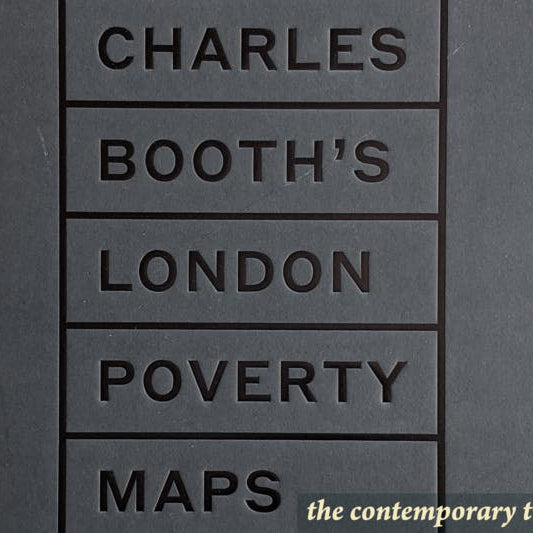
Pioneering large-scale statistical maps might sound dry as dust, but as Iain Sinclair writes in his foreword to this volume, they have a ‘morbid beauty’. Sinclair is an inspired choice to lead us in to Charles Booth's London.
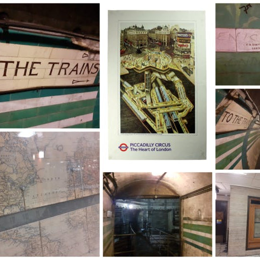
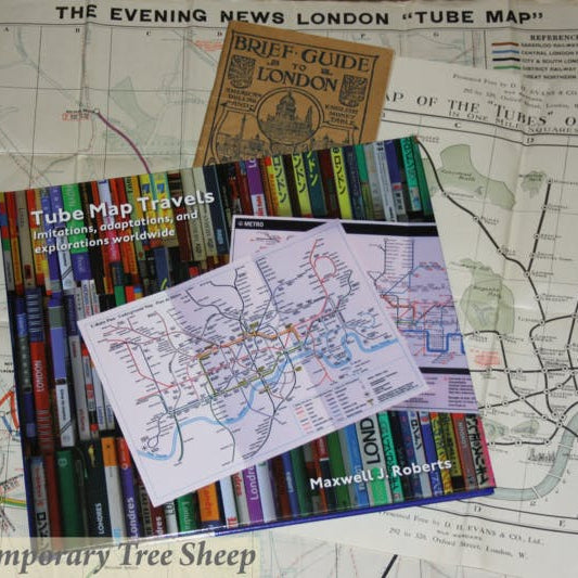
Tube Map Travels is about the unofficial maps of the London Underground, the ones which were not produced by TfL or any of its predecessors and which, in fact, TfL might like to suppress if it were possible.
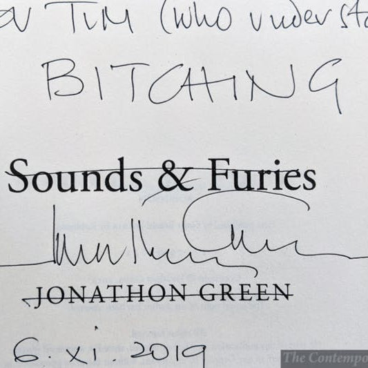
It was with genuine pleasure that we received an invitation to the launch of Jonathon Green's latest book on slang, 'Sounds and Furies'. Green has been working in this field for over 40 years, and there can be few people with his depth of knowledge.
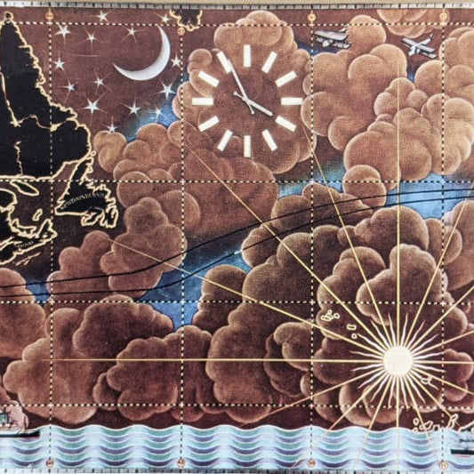
Two of our interests combine on this 1937 lunch menu: liner dining and pictorial maps. It was used by diners on the RMS Queen Mary, and its cover features Macdonald Gill’s art deco map of the north Atlantic.
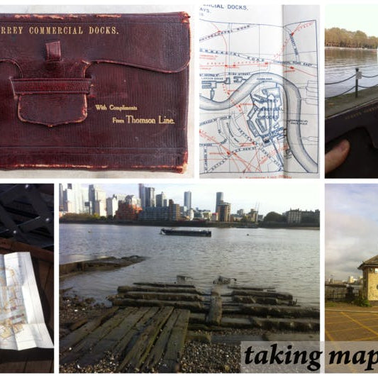
This set of maps of the Surrey Commercial Docks was published in May 1905. Most of the Surrey Docks have been filled and redeveloped for housing, but the southwestern corner of Greenland Dock still exists, so I thought I'd get the Thames Clipper to Surrey Quays and take the map home.