£650.00
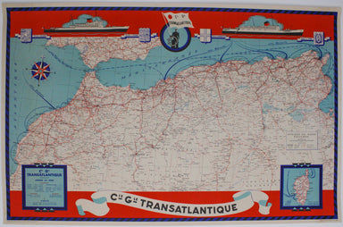
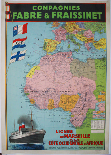
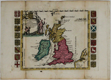
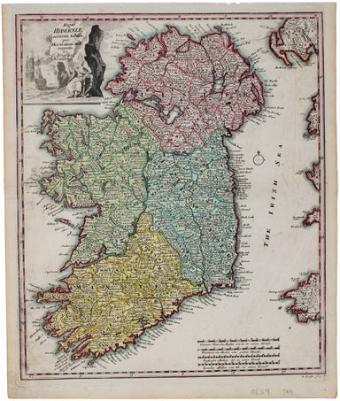
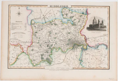
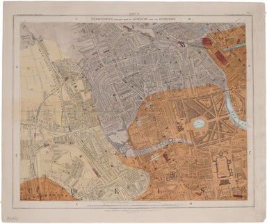
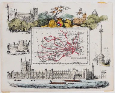
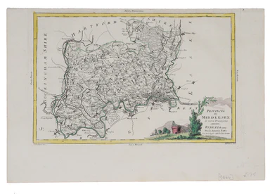
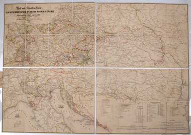
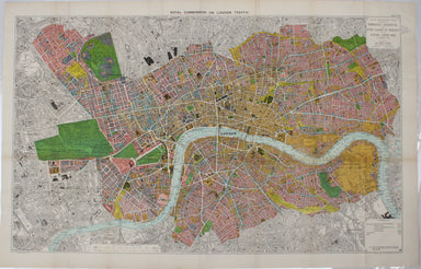
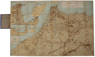
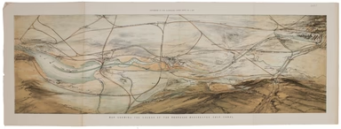
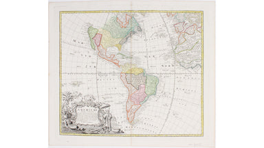
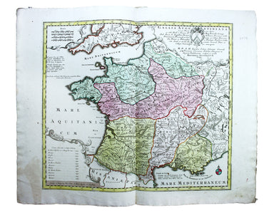
Compagnie Générale Transatlantique North Africa Route Map
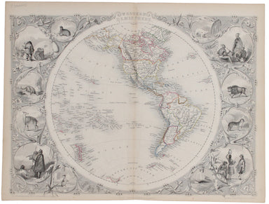
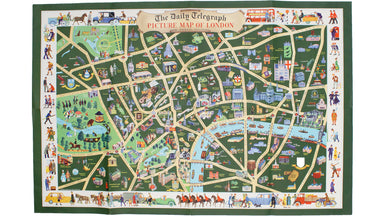
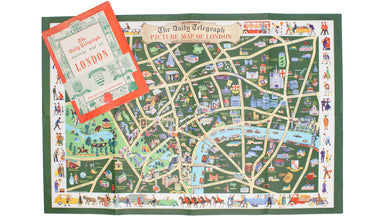
This steamship route map of the western Mediterranean and Northwest Africa shows the routes from Marseille and Bordeaux to Tunisia, Algeria and Mor...
View full details