£450.00
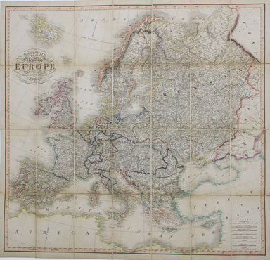
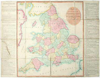
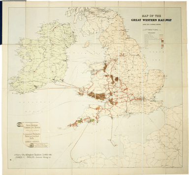
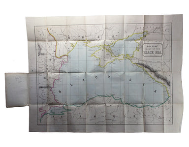
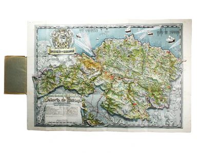
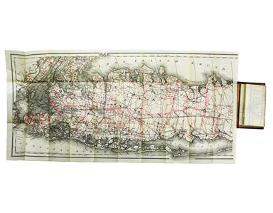
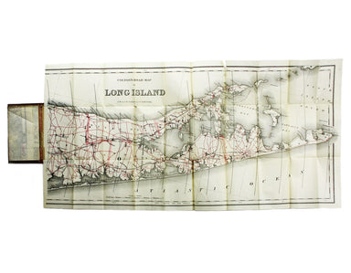
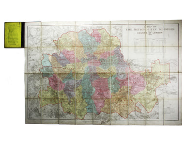
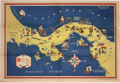
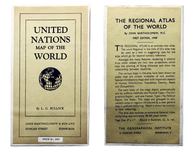
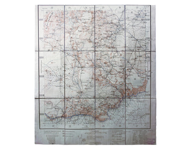
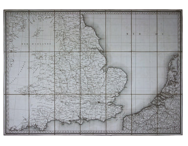
Smith's Folding Map of Europe
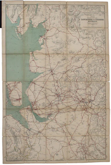
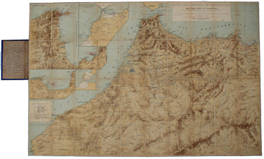
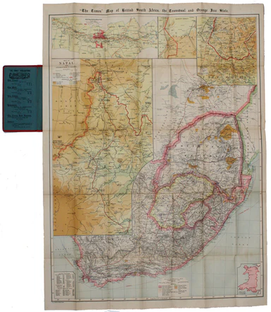
Smith’s New Map of Europe, with the great roads, carefully drawn from the latest authorities Brothers John and Gilbert Jesser Pickett worked in par...
View full details