£75.00
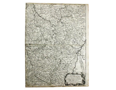
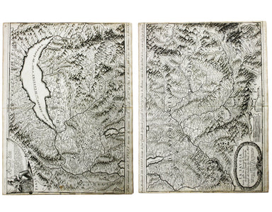
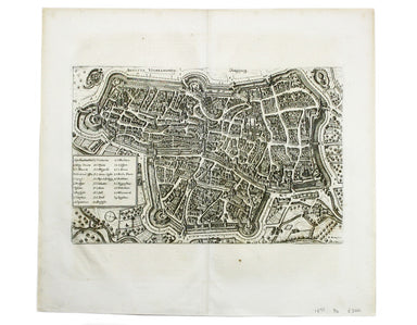
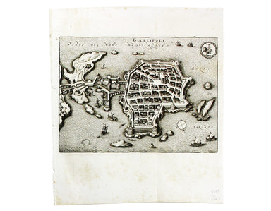
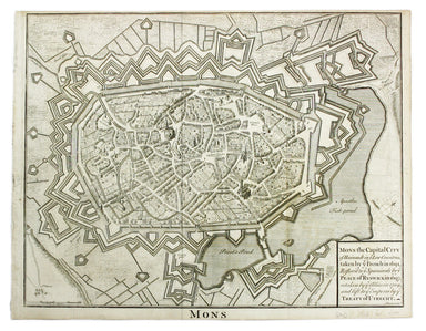
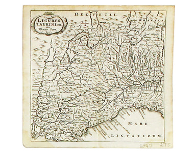
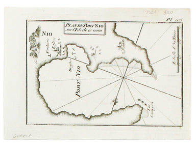
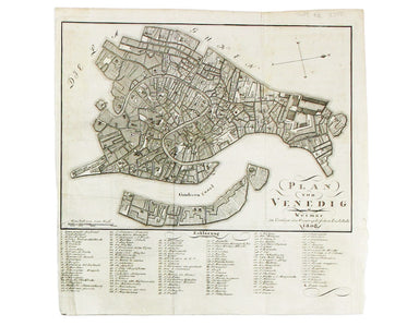
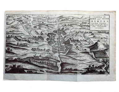
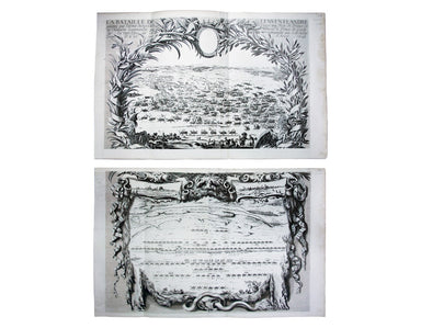
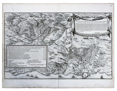
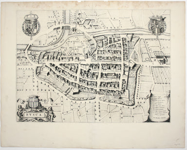
De Rossi's Map of Lorraine
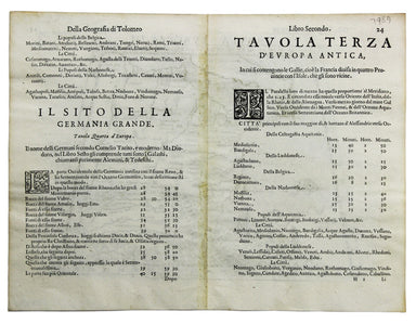
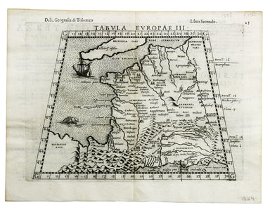
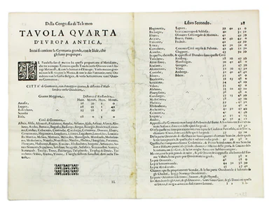
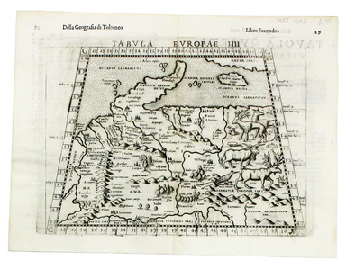
Il Ducato di Lorena (Lorraine) This map of Lorraine is from Mercurio Geografico, an unusual and finely engraved work. Condition & Materials Cop...
View full details