£400.00
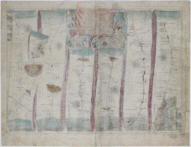
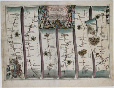
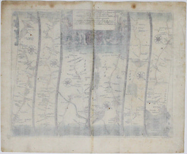
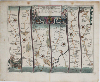
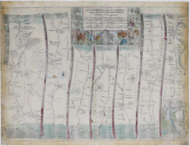
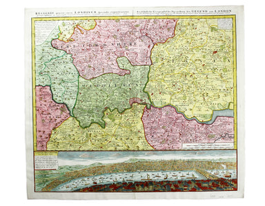
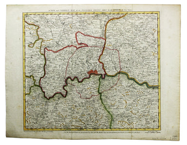
Ogilby's London to Islip
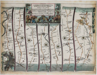
Our journey to Aberystwyth begins in London and follows the road northwest, past Tiburn and Hyde Park, through Camden and Acton, and via Beaconsfie...
View full details