£3,500.00
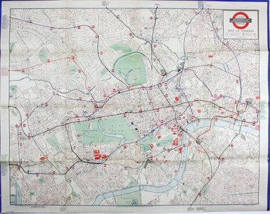
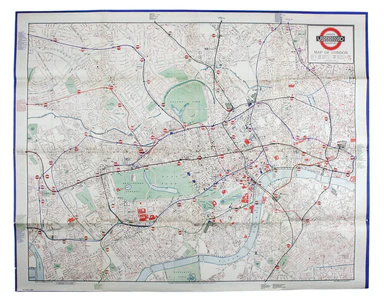
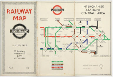
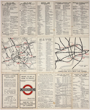
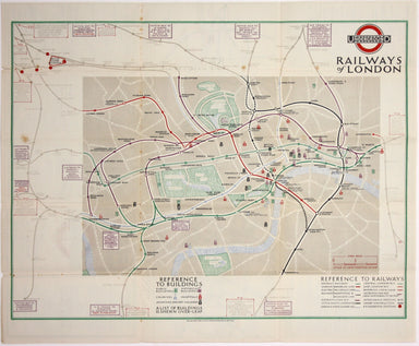
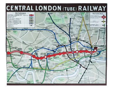
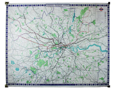
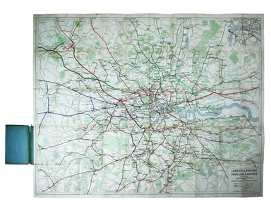
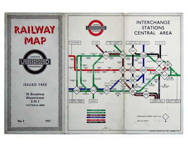
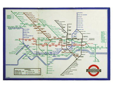
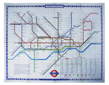
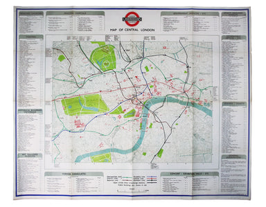
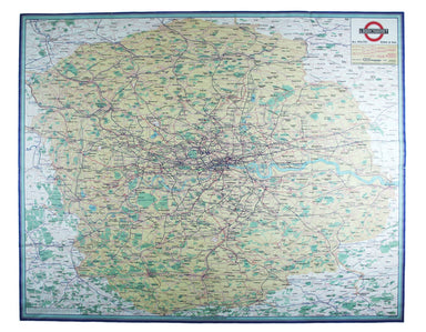
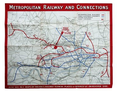
Bacon’s Map of Central Area Stations
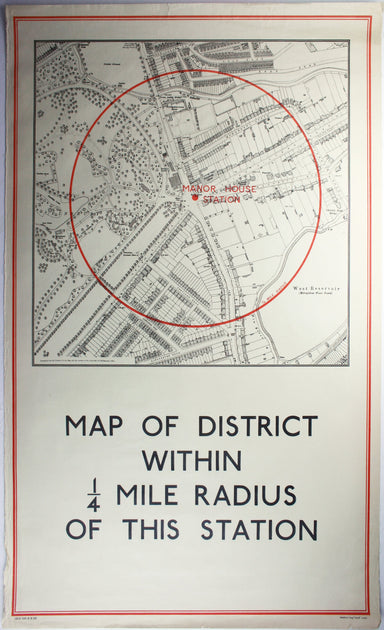
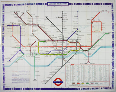
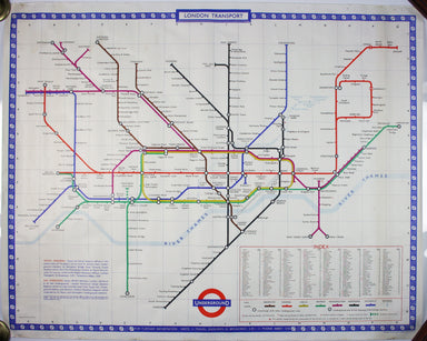
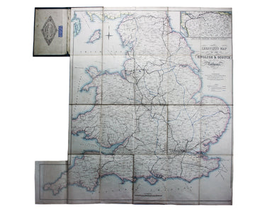
The first edition of this map was printed in 1932 but the introduction of Beck's diagram in 1933 did not obviate the need for geographically accura...
View full details