

The Times Boer War Map of South Africa
SKU: 9598
Title:
The Times Boer War Map of South Africa
Date of publication:
Place of publication:
Colour:
Mapmaker:
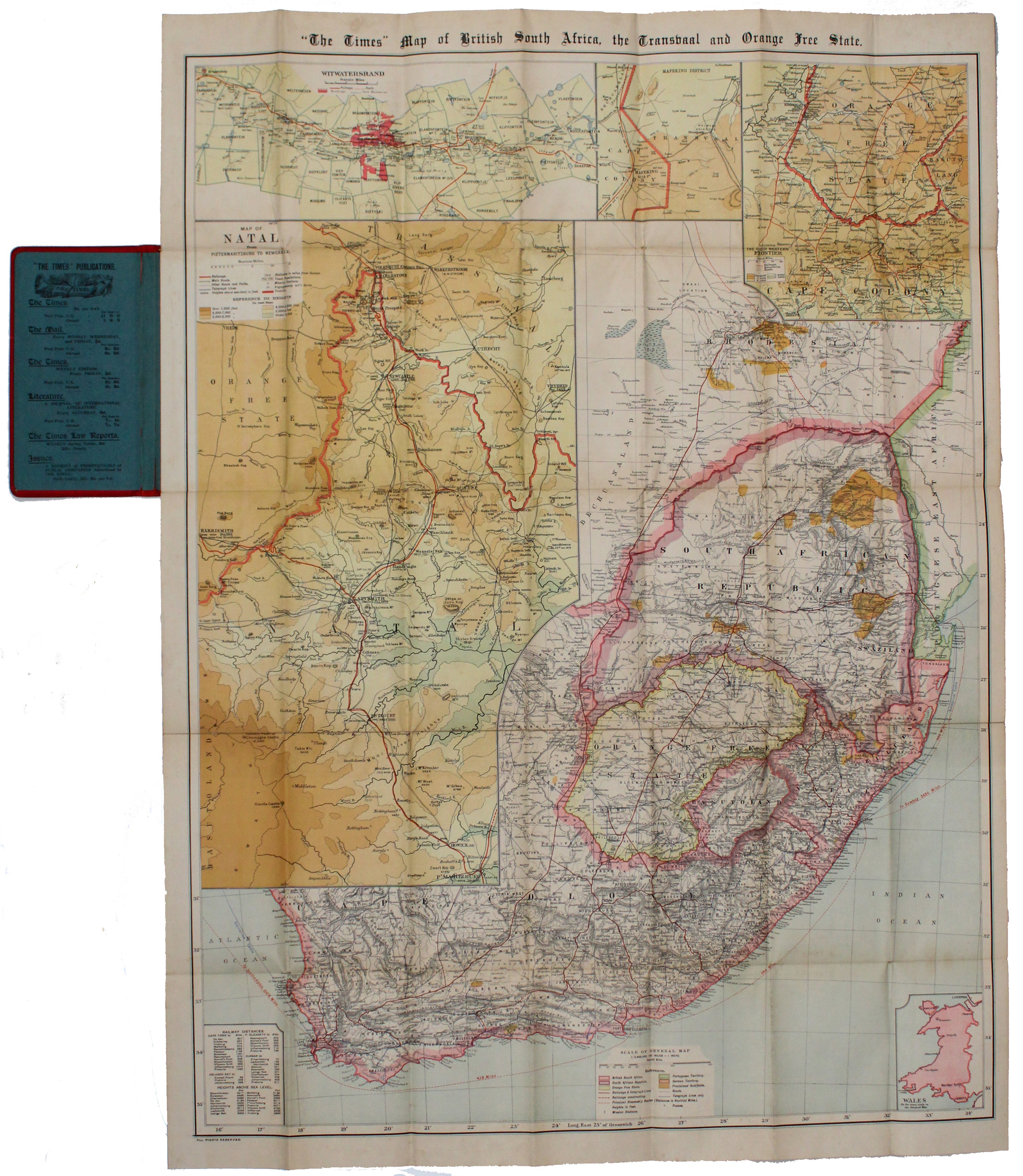
This map of South Africa was published by The Times during the Second Anglo-Boer War, for the benefit of members of the British public following the conflict in the newspaper.
It features inset maps of Natal; Witwatersrand; the Kimberley district; the Mafeking district; the Southwestern Frontier; with a map of Wales on the same scale for comparison. Read more
Condition & Materials
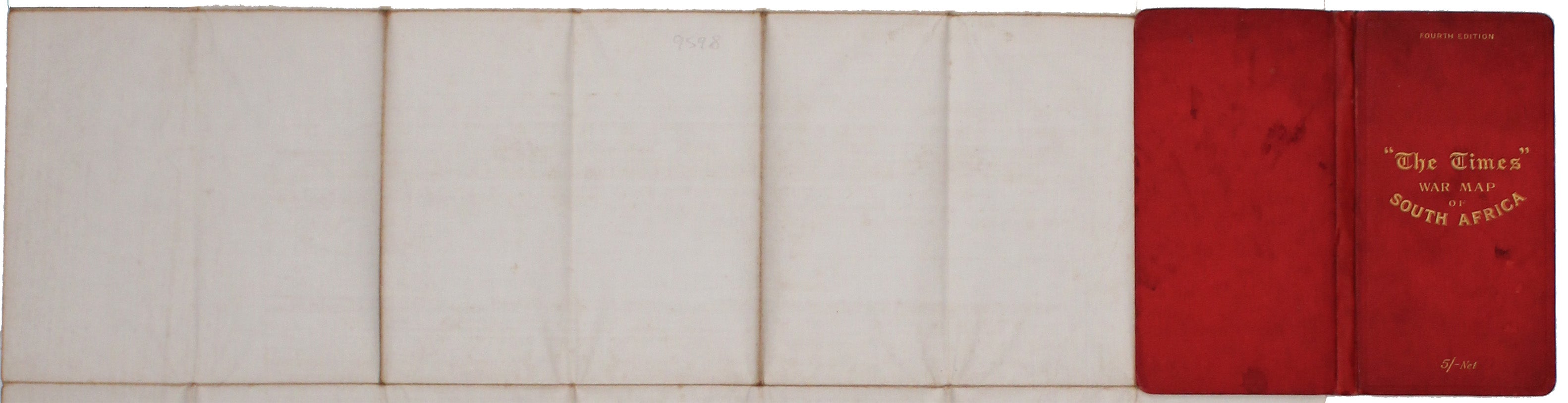
Folding map, stated fourth edition on the cover, sheet size 98.5 x 72.5 cm, printed in colours, laid on linen, folding into red cloth covers lettered direct in gilt, a little worn; publisher’s adverts to pastedown and bookseller’s label (Franklin, Newcastle-on-Tyne).
References
OCLC: 222956126/48700851 Read less