


Thomson’s Large-scale Map of Aberdeenshire
SKU: 9260
Title:
Thomson’s Large-scale Map of Aberdeenshire
Date of publication:
Printed Measurement:
Colour:
Mapmaker:
Engraver:
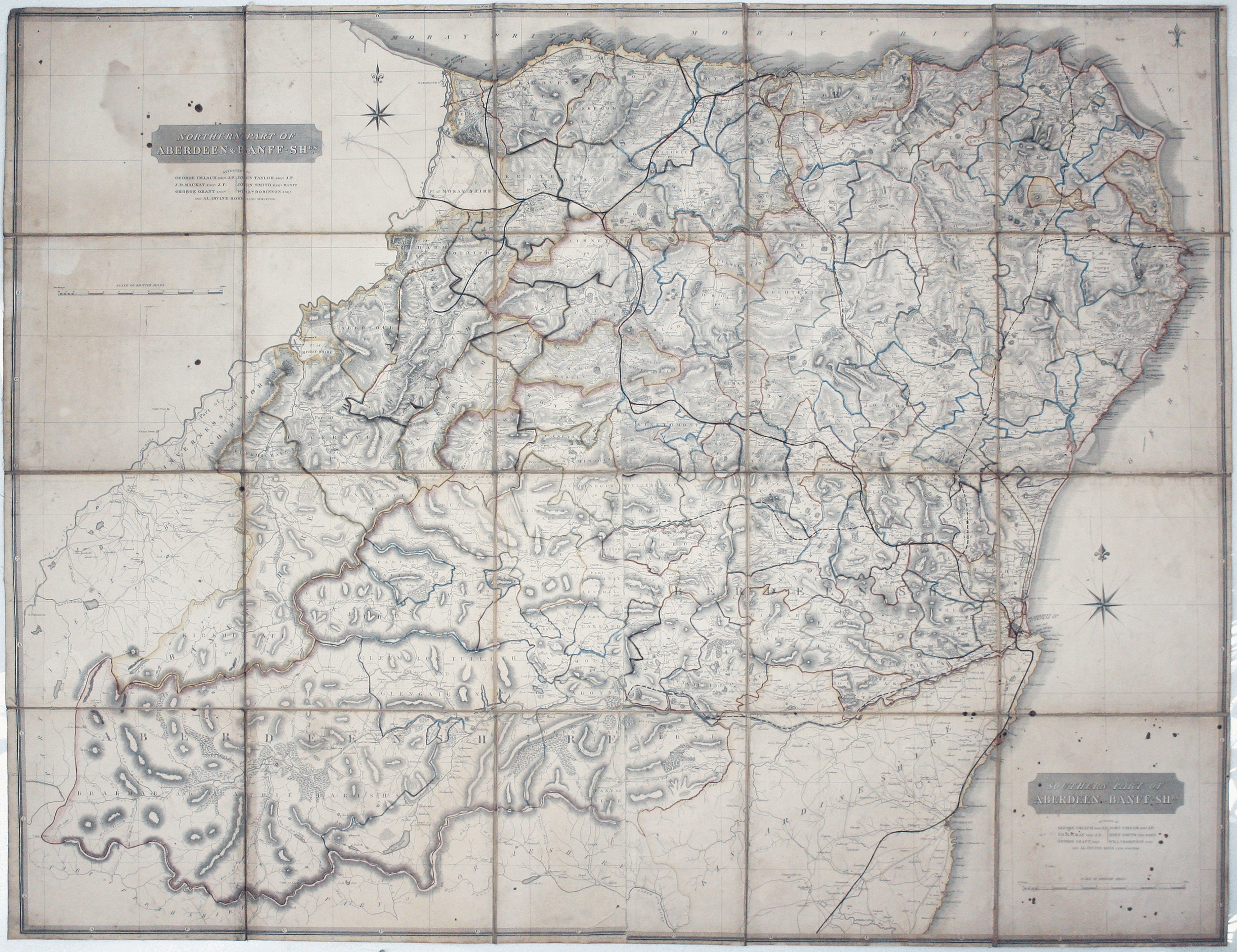
Our example of the map has been annotated in ink to show the early expansion of the railway system, with railways completed and under construction.
The Aberdeen Railway, running south via Stonehaven (opened 1847-50) appears to be complete. The Great North of Scotland Railway line via Keith (opened 1854) is complete, as are branches to Banff (1857) and Portsoy (1859), both originally run by smaller independent companies which were quickly absorbed into the Great North. Other projects linking the Great North with fishing ports such as Peterhead and Fraserburgh are shown with dashed lines, presumably indicating that they were proposed or under construction. Read more
Most of these lines were opened in the mid 1860s, suggesting that this map was annotated c. 1860 by someone closely involved with the railway system in the region.
John Thomson's maps are characteristic of the Edinburgh school of cartography which flourished at the beginning of the nineteenth-century and is noted for its clarity and elegance; other exponents include John Cary and John Pinkerton.
Thomson had made his fortune through his extremely successful 'New General Atlas', but in the 1820s he bankrupted himself twice (in the process of creating his large-scale 'Atlas of Scotland' in a burst of patriotic pride) and he disappeared from the historical record.
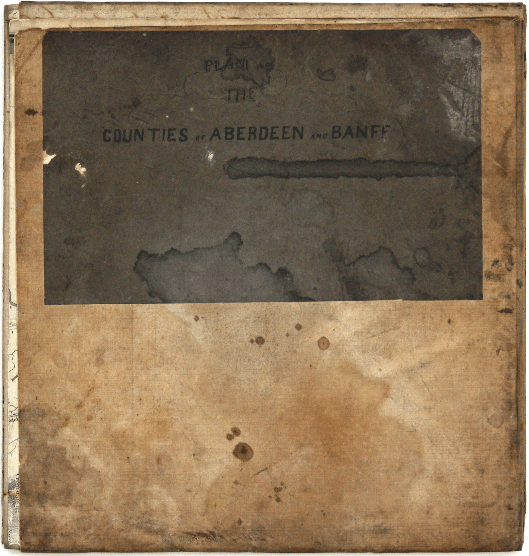
Condition & Materials
4 map-sheets joined, in total 103.5 x 135 cm, engraved by Edwin Butterworth, original hand colour delineating county boundaries, dissected into 20 panels and laid on linen; dusty and with scattered ink stains and some light waterstaining. Engraved in 1826 for Thomson’s Atlas of Scotland (published in full in 1832). Read less