

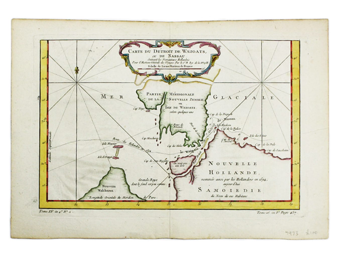
Bellin’s Map of the Yugorsky Strait
SKU: 7973
Title:
Bellin’s Map of the Yugorsky Strait
Date of publication:
Printed Measurement:
Colour:
Mapmaker:
Carte du Dètriot de Waeigats, ou de Nassau
This is map of the Yugorsky Strait in the Arctic Sea, separating Vaygach Island from the mainland. It illustrates the Dutch voyage of 1594 by Willem Barentsz in search of a northeast passage. Read more
Condition & Materials
Copper engraving, 21.5 x 32 cm, recent hand-colour, blank verso. Read less