

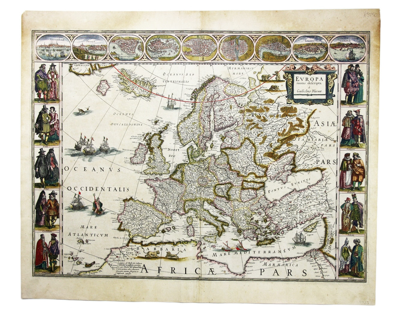
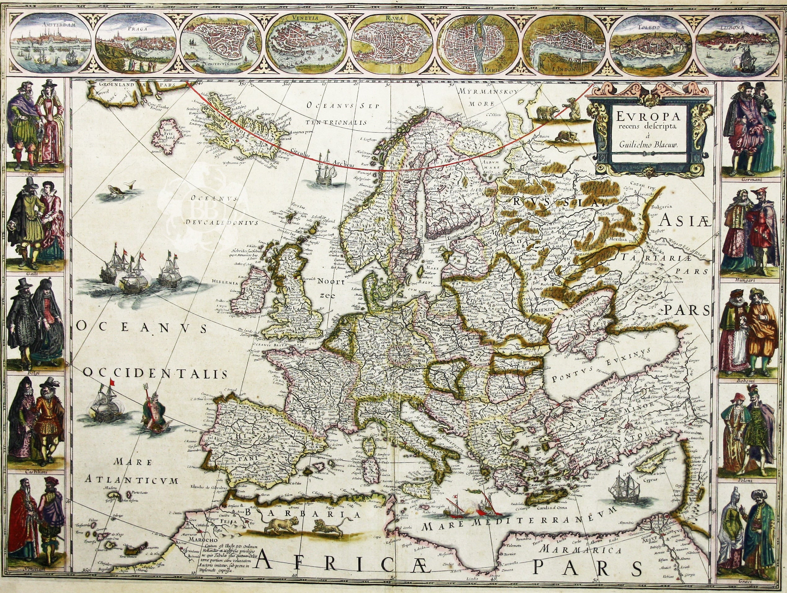
Blaeu’s Carte à Figure of Europe
SKU: 7725
Title:
Blaeu’s Carte à Figure of Europe
Date of publication:
Printed Measurement:
Colour:
Mapmaker:
Blaeu's 'carte à figure' map of Europe features ten costume vignettes and nine city views around the edges with galleys, galleons, sea monsters, bears and lions spread around the map.
Of particular interest are the placenames on Greenland relating to Frobisher's voyage of 1576, including Queen Elizabeth's Foreland. Frobisher believed he had found the Friesland of the Zeno Brothers, but Blaeu has depicted it as a separate entity. Read more
The Blaeu firm was official cartographer to the Dutch East India Company (VOC), and Blaeu globes were carried on all VOC vessels; its map-making was of the highest quality at a time when the Low Countries were at the forefront of the international market.
Condition & Materials
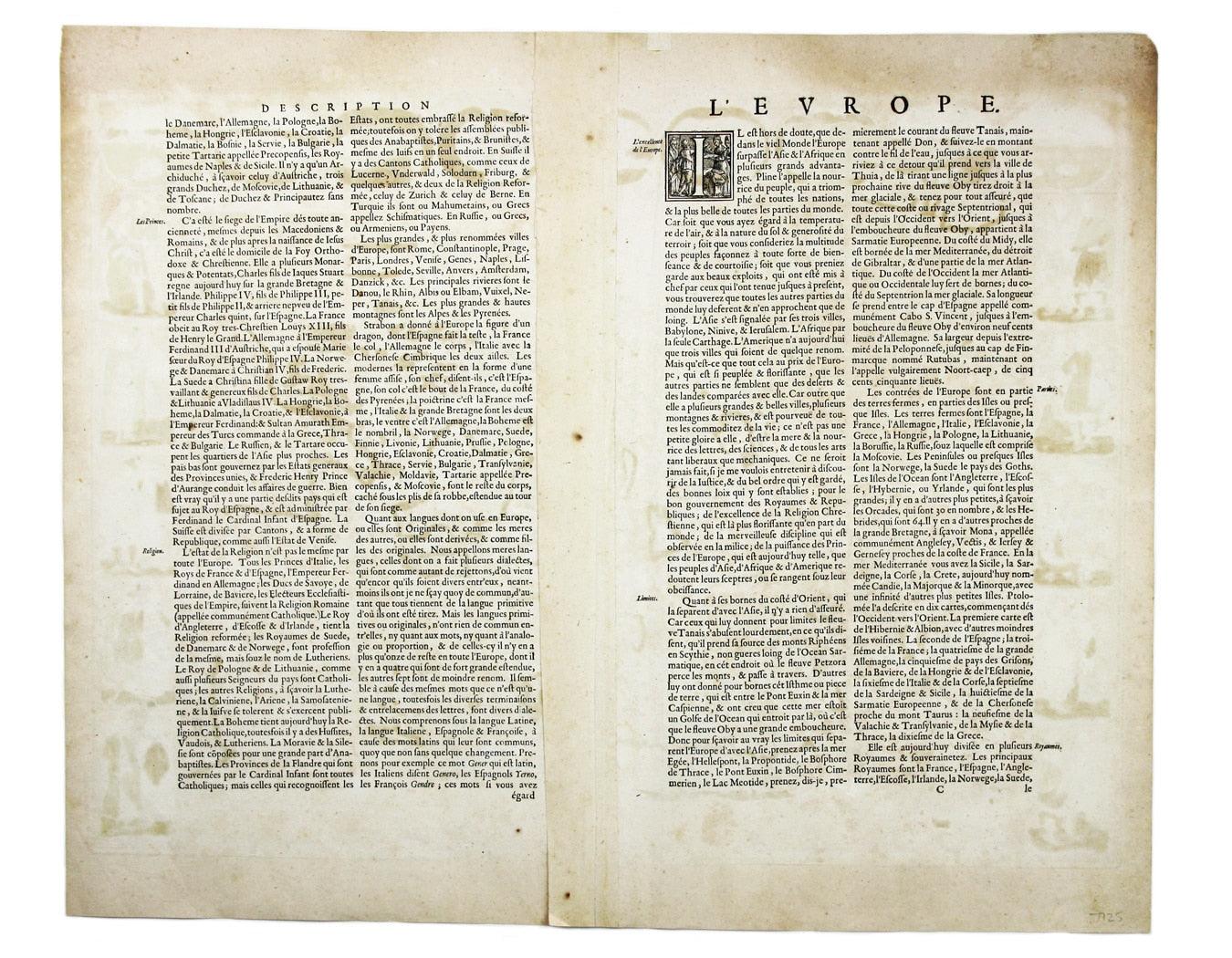
Copper engraving, 41.5 x 56 cm, original hand-colour, some oxidisation, French text on verso. Read less