


US Naval Chart of Tahiti
SKU: 9392
Title:
US Naval Chart of Tahiti
Date of publication:
Printed Measurement:
Colour:
Mapmaker:
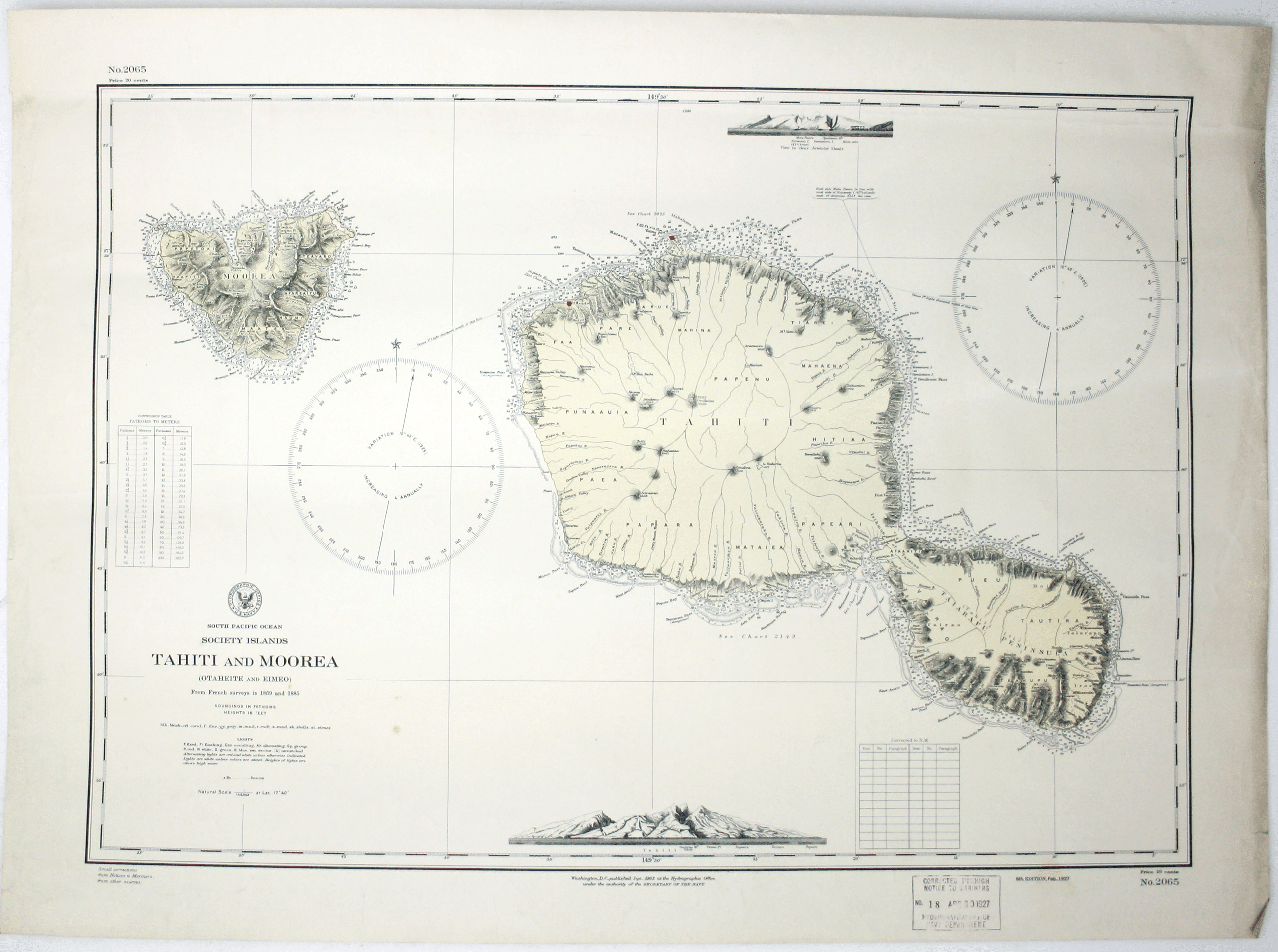
South Pacific Ocean – Society Islands – Tahiti and Moorea (Otaheite and Eimeo)
This chart was derived from French surveys of 1869 and 1885. The first US edition of this chart of Tahiti was printed in 1902; in the imprint this is stated to be the 6th edition, corrected to February 1927. Read more
Condition & Materials
Sheet 2065, sheet size 55 x 75.5 cm, black and white with a pale ochre tint, ink stamp confirming corrections to 30 April 1927, one or two light creases, blank verso; detail includes soundings, anchorages, relief etc. Read less