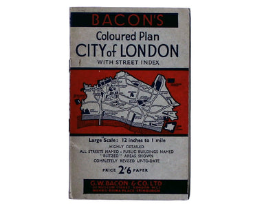
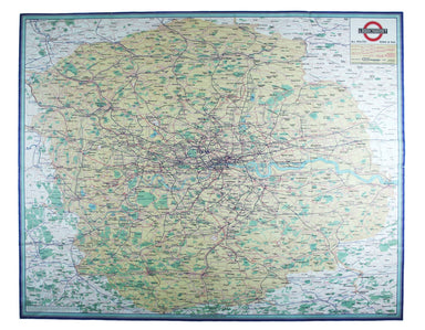
£500.00
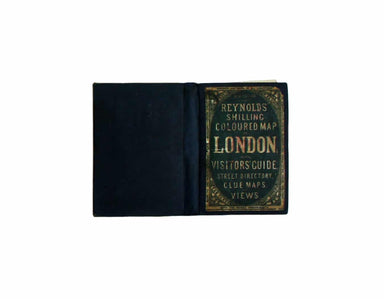
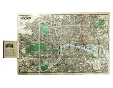
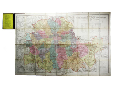
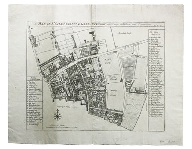
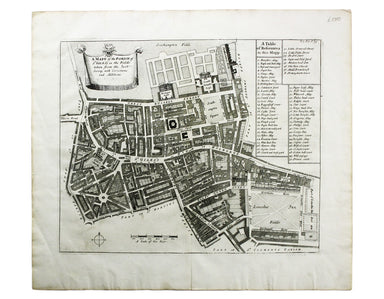
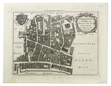
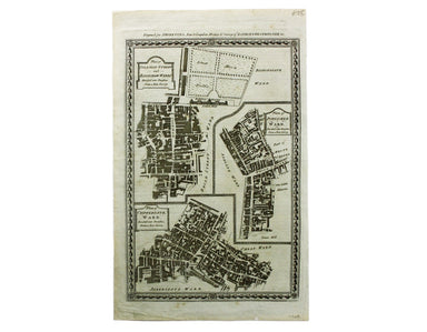
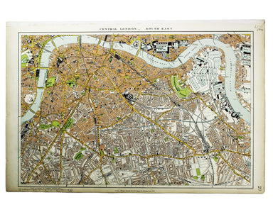
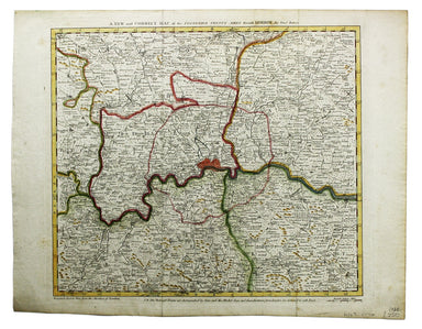
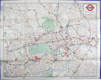
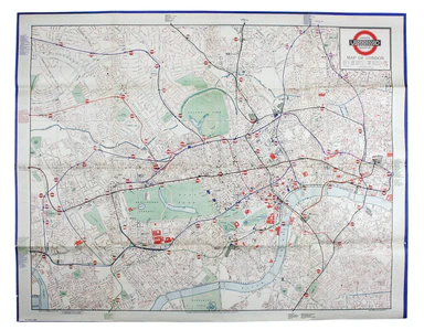
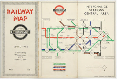
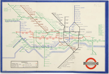
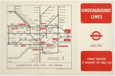
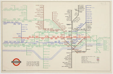
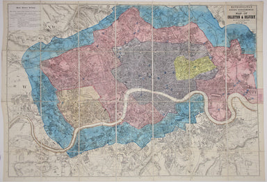
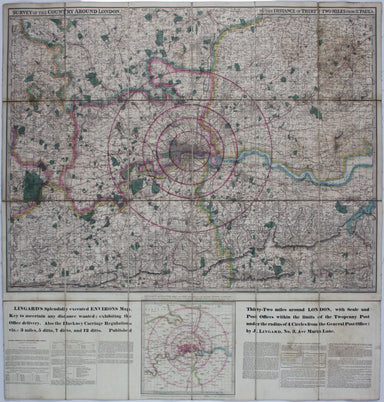
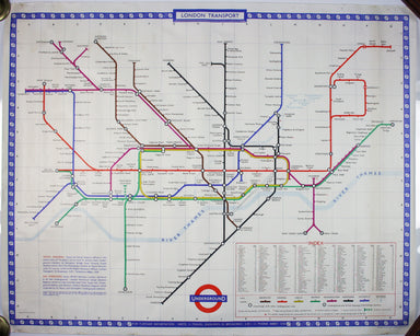
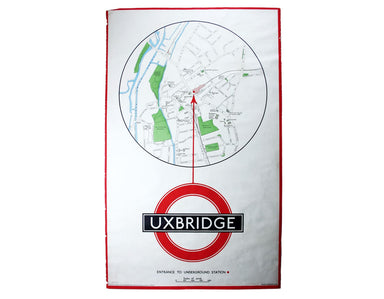
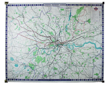
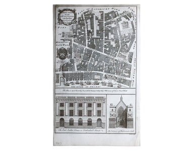
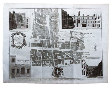
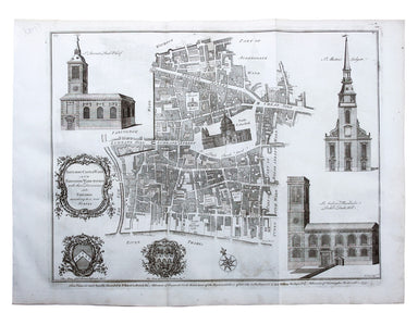
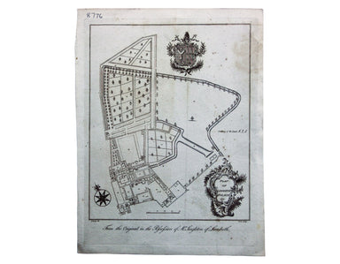
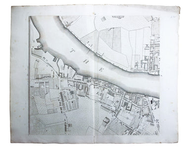
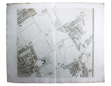
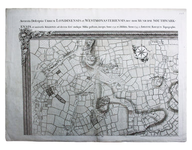
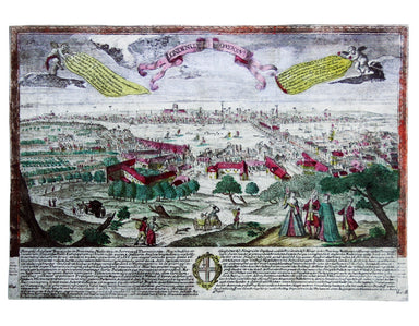
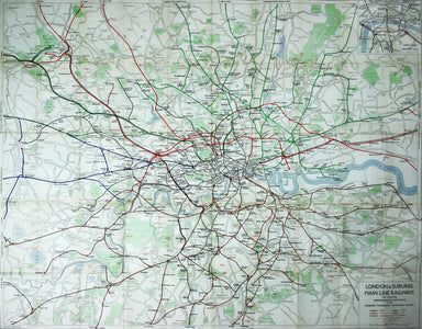
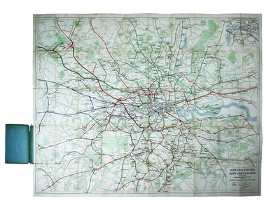
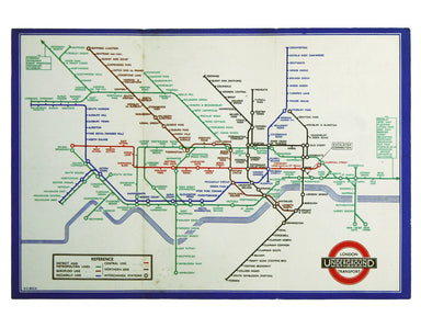
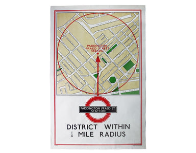
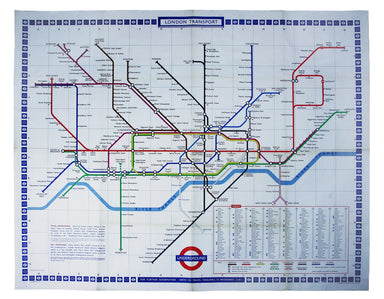
Gill’s Large Format Passenger Map
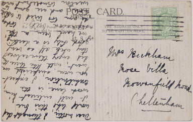
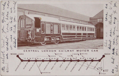
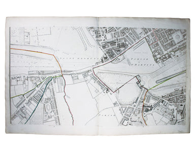
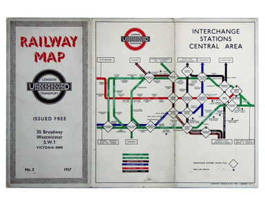
MacDonald Gill, brother of Eric, was a successful commercial artist in his own right, and a noted calligrapher who designed the font used on all he...
View full details