Mercator's Miniature Map of the British Isles
Anglia, Scotia et Hibernia. Copper engraving, 13.7 x 18.2 cm, black and white, numbered in an early hand in upper margin, Latin text on verso. Eng...
View full detailsAnglia, Scotia et Hibernia. Copper engraving, 13.7 x 18.2 cm, black and white, numbered in an early hand in upper margin, Latin text on verso. Eng...
View full detailsHelvetia Copper engraving, 15.2 x 19.2 cm, black and white, numbered in an early hand in upper margin, light waterstaining in lower margin, Latin t...
View full detailsTurcicum Imperium Copper engraving, 15 x 18.5 cm, black and white, numbered in an early hand in upper margin, light waterstaining in lower margin, ...
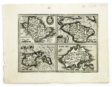
View full detailsAnglesey Ins[ula]; Wight ol[im] Vectis; Ins[ula] Garnsey; Ins[ula] Iarsay. Copper engraving, 13.7 x 18.2 cm, black and white, numbered in an early...
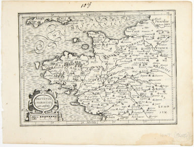
View full detailsBritannia et Normandia cum consiniis This map of Brittany and Normandy was engraved by Jodocus Hondius for the ‘Atlas Minor’. Condition & Mater...
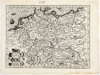
View full detailsGermania! This map shows the ‘Germanic’ regions of Europe, including the Low Countries, Poland and Austria, and was engraved by Jodocus Hondius for...
View full details