£200.00
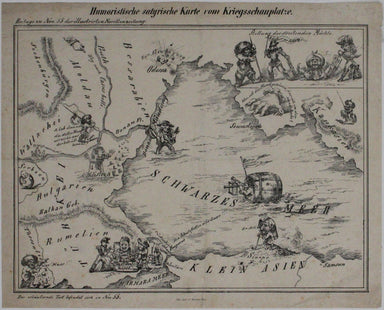
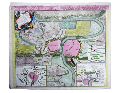
Austrian Crimean War Satirical Map
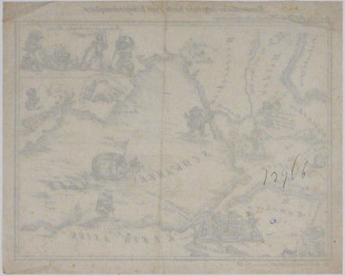
Humoristiche satyrische Karte von Kriegsschauplatze This Austrian pictorial map satirising the Crimean War was published in July 1854 in No. 55 the...
View full details