£2,500.00


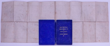
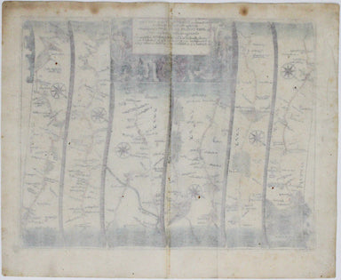
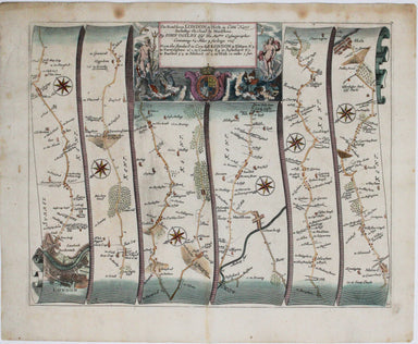
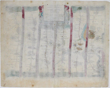
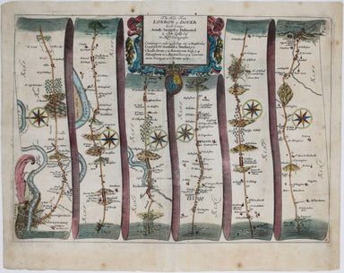
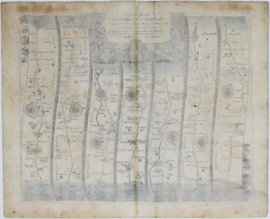
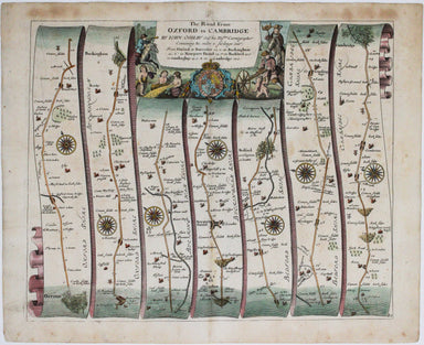
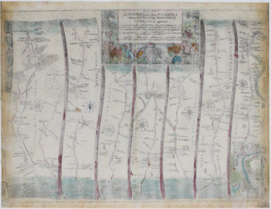
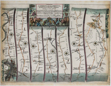
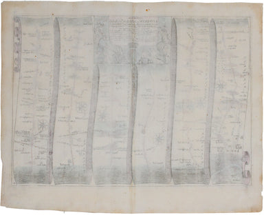
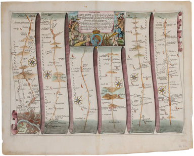
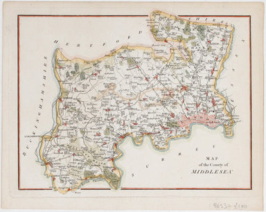
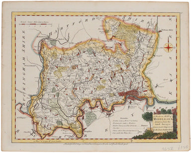
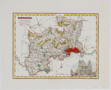
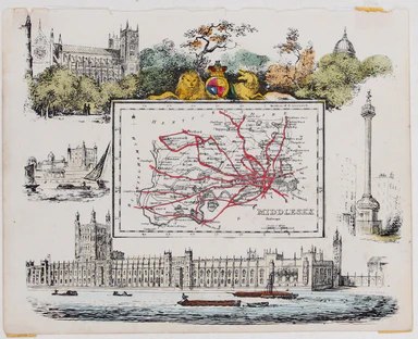
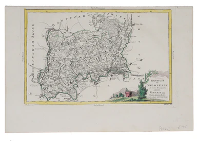
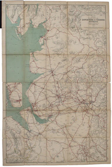
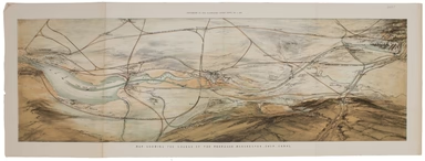
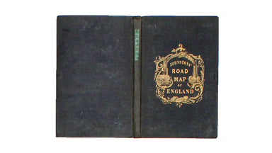
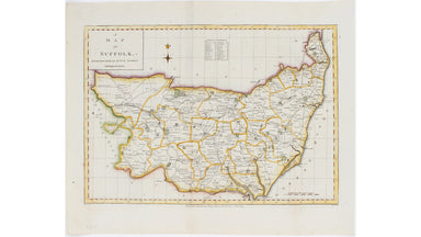
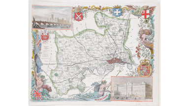
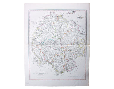
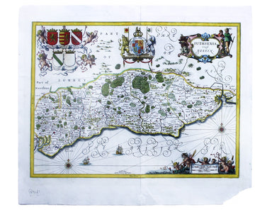
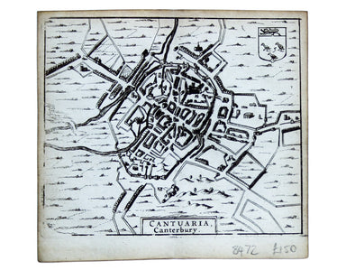
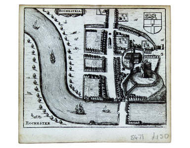
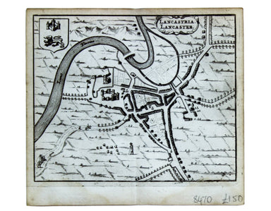
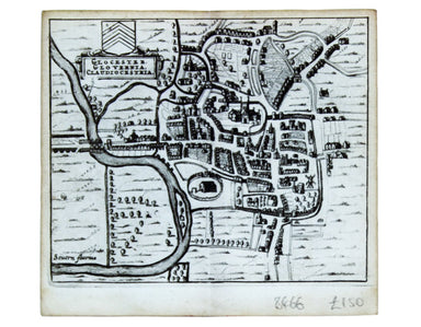
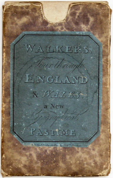
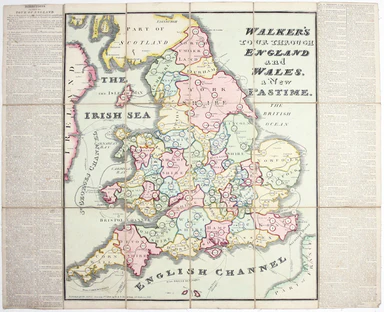
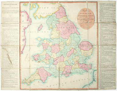
Reuben Ramble's' county atlas for children
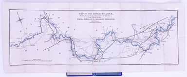
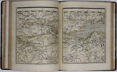
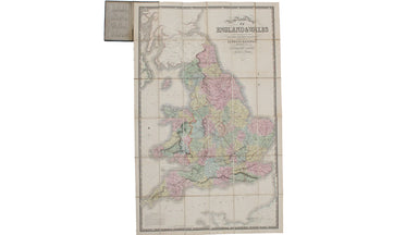
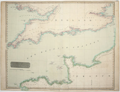
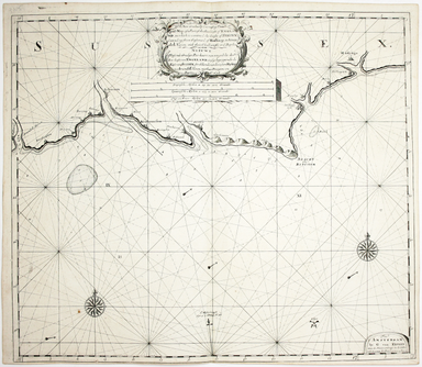
Reuben Ramble's Travels in the Counties of England This is a county atlas designed for children or ‘the little geographer’, with simple text by Sam...
View full details