

Ogilby's Road from Coventry to Derby
The Road from Oxford to Coventry continued to Darby... This map was published as sheet 82 in the 1698 folio edition of Ogilby’s pioneering road atl...
View full details

The Road from Oxford to Coventry continued to Darby... This map was published as sheet 82 in the 1698 folio edition of Ogilby’s pioneering road atl...
View full details

The Extended Road from Oakham to Richmond... commencing at Oakham aforesaid & extending to Barnsley in Yorkshire This map was published as she...
View full details

The Continuation of the Road from London to Holy-Head... Plate 3d., commencing at the City of Lichfield & extending to the City of Chester This...
View full details

Robert Morden's county maps, like this one of Northumberland, were engraved to illustrate Gibson's edition of William Camden's Britannia, first pub...
View full details

This map of Dorset was published in Philip Lea’s edition of Christopher Saxton’s county atlas, commonly known as the Lea-Saxton or Saxton-Lea. Chr...
View full details

Robert Morden's county maps, like this one of Cornwall, were engraved to illustrate Gibson's edition* of William Camden's Britannia. Camden was an ...
View full details

Robert Morden's country maps, like this one of Suffolk, were engraved to illustrate Gibson's edition* of William Camden's Britannia. Camden was an ...
View full details

Robert Morden's county maps, like this one of Surrey, were engraved to illustrate Gibson's edition* of William Camden's Britannia. Camden was an El...
View full details

Thousands of miles of roads were surveyed for John Ogilby’s pioneering road atlas, the ‘Britannia’. The decorative cartouche on this map of the roa...
View full details

Thousands of miles of roads were surveyed for John Ogilby’s pioneering road atlas, the ‘Britannia’. This sheet shows the roads between the Cumbrian...
View full details

Thousands of miles of roads were surveyed for John Ogilby’s pioneering road atlas, the ‘Britannia’. This sheet covers the road between High Barnet ...
View full details
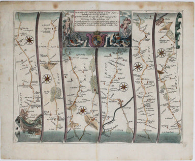
Our journey to Hythe begins in London and follows the road through East Peckham and Eltham, reaching Hythe via Maidstone. Thousands of miles of roa...
View full details
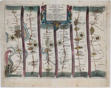
Our journey to Dover begins in London and follows the road through Deptford, Blackheath, Shooter’s Hill, and Dartford, reaching Dover via Rochester...
View full details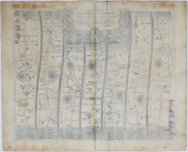
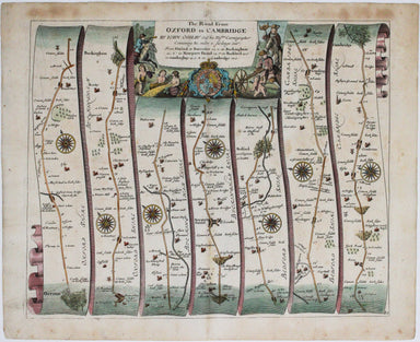
Our journey takes us along the road between the university towns of Oxford and Cambridge, via Bedford. Thousands of miles of roads were surveyed fo...
View full details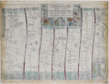
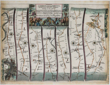
Our journey begins in London and follows the road west through Knightsbridge and Kensington (with Hyde Park to one side), Hammersmith and Turnham G...
View full details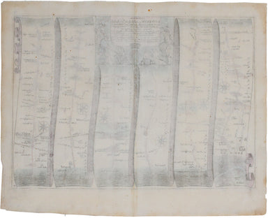
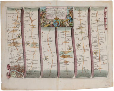
This road map includes London, Islington, and Highgate, and extends as far as Towcester. It was published as sheet 21 in the 1698 folio edition of ...
View full details
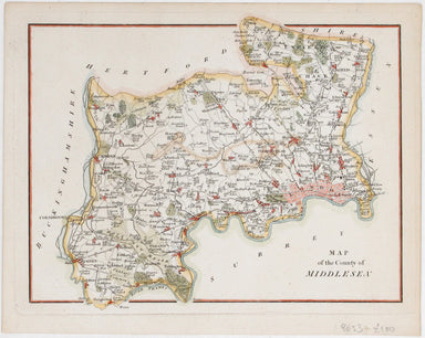
This attractive, detailed map of the county of Middlesex is unsigned; as yet, we have been unable to identify the engraver. Do feel free to write t...
View full details
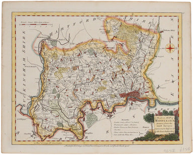
Ellis' map of Middlesex conveys a wealth of detailed information: borough towns are shown with stars identifying the number of Members returned to ...
View full details
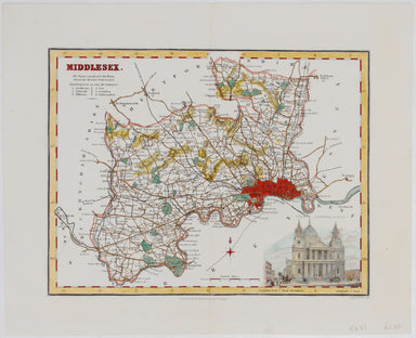
This map of Middlesex included a vignette of St. Paul's Cathedral. It was published in James Bell’s 'New and Comprehensive Gazetteer of England and...
View full details
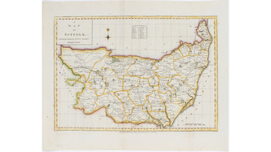
This map of Suffolk is from a series of maps engraved between 1787-1791 by Edward Sudlow after John Haywood. It was subsequently published in atlas...
View full details
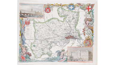
This map of Middlesex is illustrated with vignettes of Buckingham Palace (before its early 20th century re-modelling) and the ‘new’ Houses of Parli...
View full details
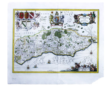
Suthsexia, vernacule Sussex Condition & Materials Copper engraving, 38.5 x 50.5 cm, modern hand-colour, closed centrefold split with some margi...
View full details
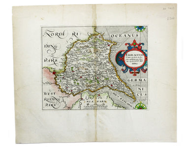
Eboracensis Comitatus […] pars Orientalis, vulgo East Riding. This map of the East Riding is from the second edition of Philemon Holland’s translat...
View full details
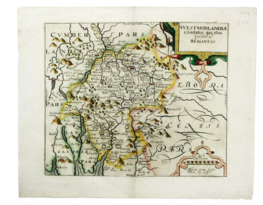
Wesmorlandia e comitatis. This map of Westmorland is from the second edition of Philemon Holland’s translation of Camden’s Britannia into English, ...
View full details
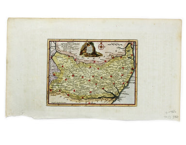
This map of Sussex was first issued in The London Magazine, which between 1747 and 1754 published a complete set of English county maps by Thomas K...
View full details
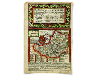
This map of Somerset was engraved by Emanuel Bowen for John Owen’s Britannia Depicta, a pocket road book derived from Ogilby’s innovative atlas of ...
View full details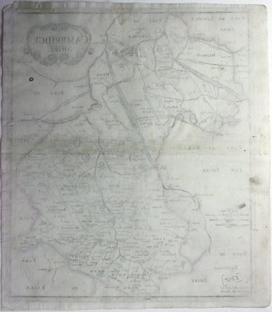
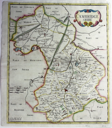
Robert Morden's maps were engraved to illustrate Gibson's edition of William Camden's Britannia, first published in 1695 and reprinted in various 1...
View full details
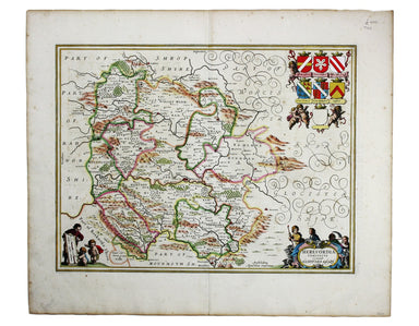
Joannes Janssonius II (1588-1664) married into the Hondius family and, with Henricus Hondius, worked on a revised edition of the Mercator-Hondius a...
View full details
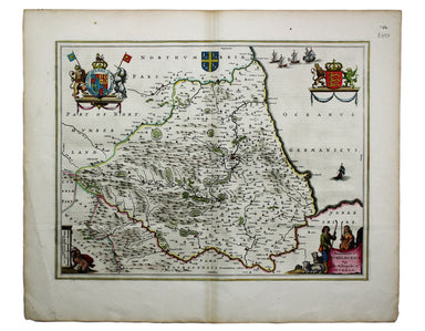
Blaeu and the rival Golden Age Dutch cartographic publishing house of Janssonius raced to bring out atlases of the British Isles in the 1630s and e...
View full details
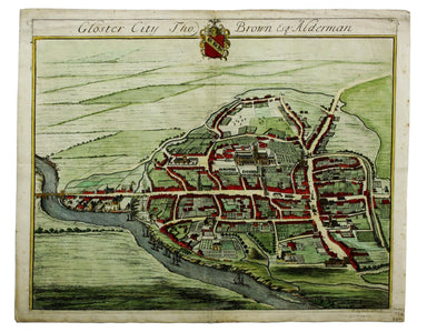
This map of Gloucester was engraved by Johannes Kip for 'The Ancient and Present State of Glostershire'. It is one of the earliest views of the cit...
View full details
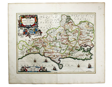
Comitatus Dorcestria vulgo Anglice Dorsetshire Joannes Janssonius II (1588-1664) married into the Hondius family and, with Henricus Hondius, worked...
View full details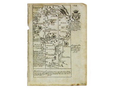
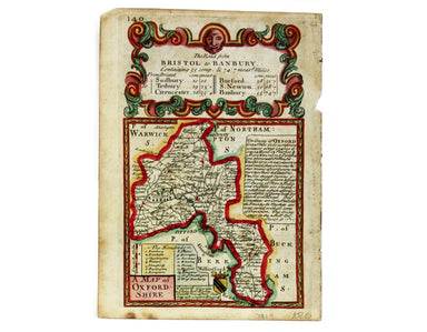
This map of Oxfordshire was engraved by Emanuel Bowen for John Owen’s Britannia Depicta, a pocket road book derived from Ogilby’s innovative atlas ...
View full details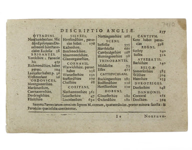
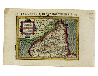
Northumbria, Cumberlandia et Dunelmensis Episcopatus This map of northern England is from the first edition of Tabularum geographicarum contractaru...
View full details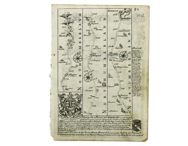
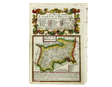
This map of Middlesex was engraved by Emanuel Bowen for John Owen’s Britannia Depicta, a pocket road book derived from Ogilby’s innovative atlas of...
View full details
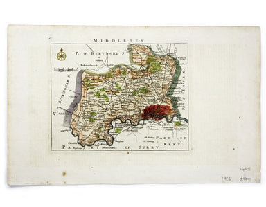
This map of Middlesex was first published in 1746 to accompany Thomas Read’s English Traveller. The the plates were acquired by John Rocque and re-...
View full details
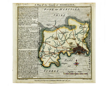
Condition & Materials Copper engraving, 15.5 x 15.5 cm, modern hand-colour, blank verso; a map of Middlesex engraved by Toms for Thomas Badesla...
View full details
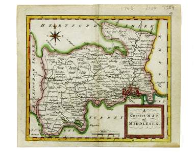
This map of Middlesex was published in Geographia Magnae Britanniae, or, Correct Maps of all the Counties in England, Scotland and Wales. It was pr...
View full details
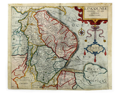
Lincolniae Comitatus ubi olim insederunt Coritani This map of Lincolnshire is from the second edition of Philemon Holland’s translation of Camden’s...
View full details
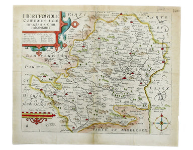
Hertfordiae Comitatus This map of Hertfordshire is from the second edition of Philemon Holland’s translation of Camden’s Britannia into English, th...
View full details
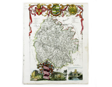
This map of Herefordshire is by Moule, a bookseller, writer on heraldry and publisher who commissioned what is generally considered to be the last ...
View full details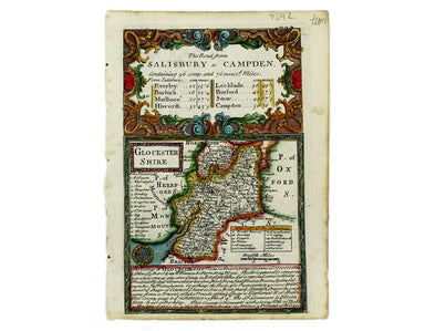
This map of Gloucestershire was engraved by Emanuel Bowen for John Owen’s Britannia Depicta, a pocket road book derived from Ogilby’s innovative at...
View full details
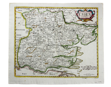
Condition & Materials Copper engraving, 36 x 42 cm, recent hand-colour, spotting top left, blank verso. A map of Essex engraved to accompany Gi...
View full details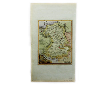
This map of Cambridgeshire was first issued in The London Magazine, which between 1747 and 1754 published a complete set of English county maps by ...
View full details
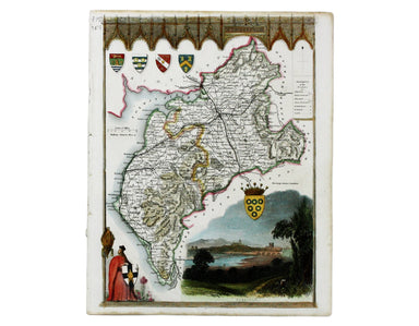
This map of Cumberland is by Moule, a bookseller, writer on heraldry and publisher who commissioned what is generally considered to be the last rea...
View full details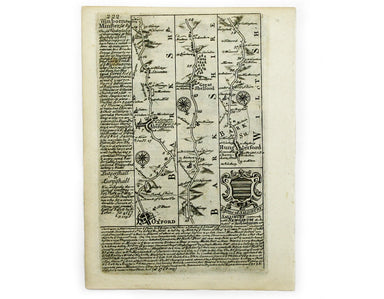
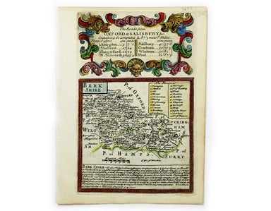
This map of Berskhire was engraved by Emanuel Bowen for John Owen’s Britannia Depicta, a pocket road book derived from Ogilby’s innovative atlas of...
View full details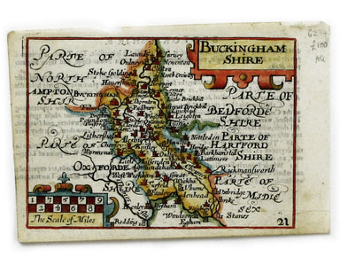
This map of Buckinghamshire is from the so-called miniature Speed. This miniature atlas used maps by van den Keere to illustrate a pocket edition o...
View full details
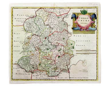
This map of Shropshire was engraved to accompany Gibson’s edition of Camden’s Britannia, first published in 1695. Condition & Materials Copper ...
View full details
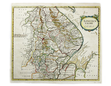
This map of Lincolnshire was engraved to accompany Gibson’s edition of Camden’s Britannia, first published in 1695. Condition & Materials Coppe...
View full details
