£250.00
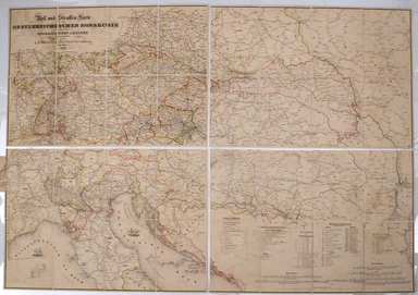
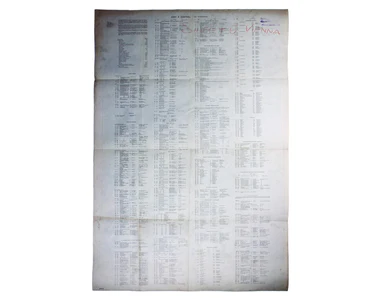
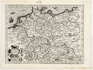
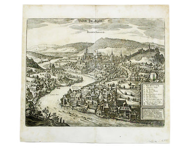
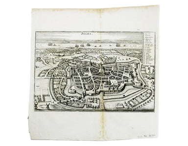
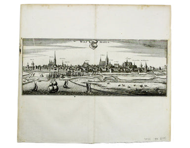
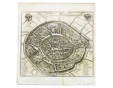
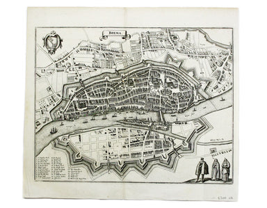
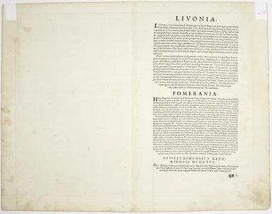
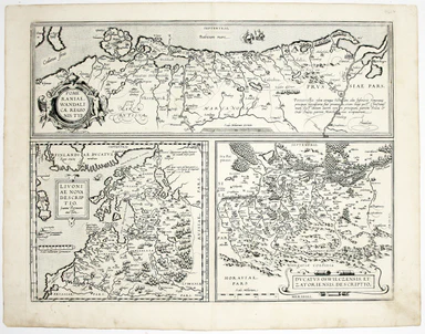
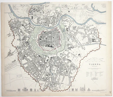
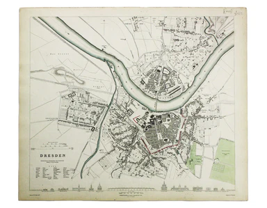
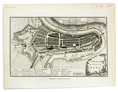
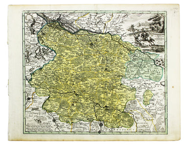
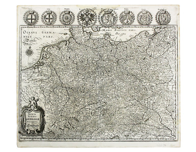
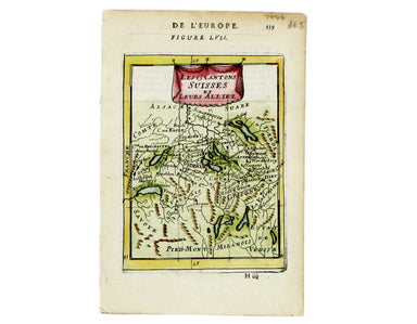
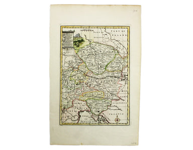
Post Roads of the Austro-Hungarian Empire
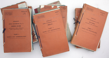
Folding map showing the post roads of the Austro-Hungarian Empire. Condition & Materials 4 folding engraved map sheets, which can be joined, e...
View full details