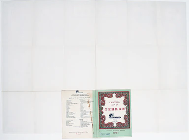
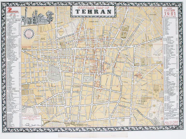
Sahab's Map of Tehran
This map of Tehran features a legend in the borders listing 218 places of interest in the pre-Revolutionary city. The mapmaker’s own premises are i...
View full details

This map of Tehran features a legend in the borders listing 218 places of interest in the pre-Revolutionary city. The mapmaker’s own premises are i...
View full details
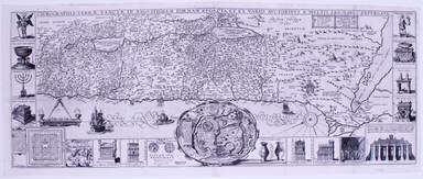
Chorographia Terrae Sanctae in angustiorem formam redacta, et ex variis auctoribus a multibus erroribus expurgata This map of the Holy Land, after ...
View full details

Théâtre de la Guerre: Carte de l’Empire Ottoman en Europe et en Asie With an inset of Sevastopol, our map covers the region at the outbreak of the ...
View full details
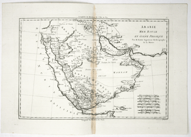
Carte de L’Arabie, du Golfe Persique et de la Mer Rouge, avec L’Egypte, La Nubie et L’Abissinie This map of Arabia was published in an Italian edit...
View full details
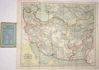
This map of Persia, Afghanistan and Balochistan is part of the Authentic Imperial Maps series published by the London Geographical Institute. Condi...
View full details
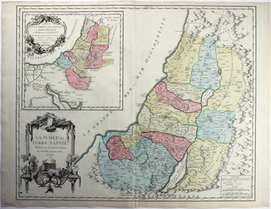
La Judée ou Terre Sainte, divisée en ses douze Tribus This is the second state of Robert de Vaugondy’s Old Testament map of the Holy Land. The map ...
View full details
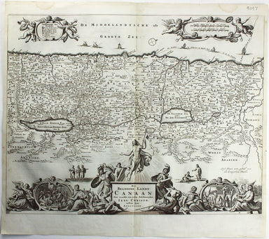
Het Beloofde Landt Canaan door wandelt van onfen Salichmaeker Iesu Christo, nessens syne Apostelen Oriented to the west, this map of the Holy Land ...
View full details
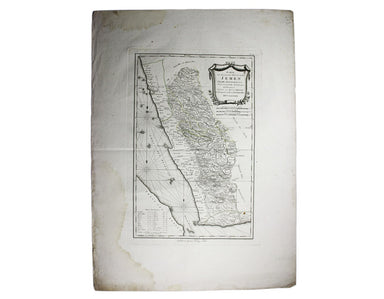
Karte von dem groessten theil des landes Jemen, Imame, Kaukeban &. &. […] This map of Yemen and the Red Sea follows the detailed maps by Ge...
View full details
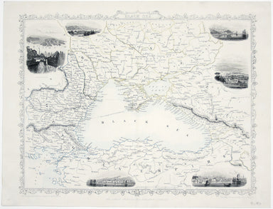
This map of the Black Sea has been updated to show the 300 miles of submarine telegraph cable laid between Varna and Balaclava by Robert Stirling N...
View full details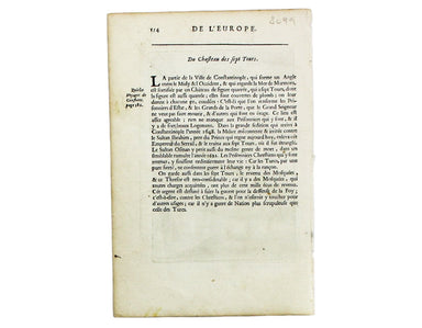
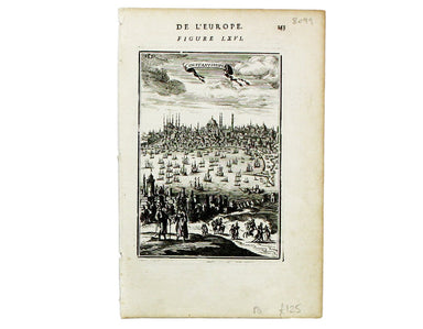
This view of Constantinople isfrom Mallet’s Description de l’Univers, first published in Paris in 1683 and reprinted with German text in Frankfurt ...
View full details
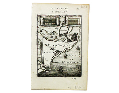
This plan of Constantinople is from Mallet’s Description de l’Univers, first published in Paris in 1683 and reprinted with German text in Frankfurt...
View full details
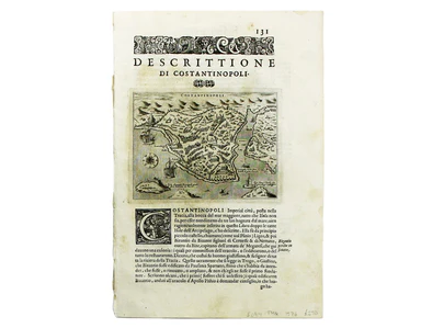
Constantinopoli / Descrittione di Constantinopoli First published in 1572, our example of Porcacchi’s map of Constantinople is from the second edit...
View full details
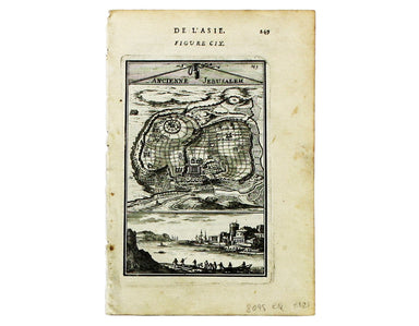
This map of Ancient Jerusalem is from Mallet’s Description de l’Univers, first published in Paris in 1683 and reprinted with German text in Frankfu...
View full details
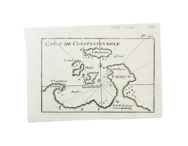
This sea chart shows the environs of Marmara Island on the southern coast of the Sea of Marmara, Turkey. The practical pocket sea atlas by Marseill...
View full details
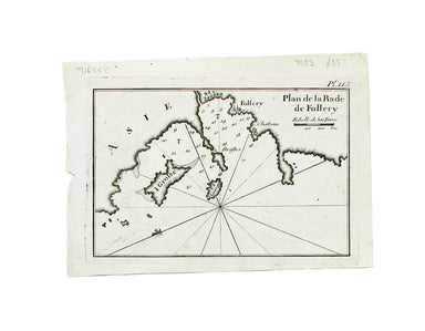
A sea chart of Foça, Turkey; near Smyrna. The practical pocket sea atlas by Marseilles hydrographer Joseph Roux, charting the ports and harbours of...
View full details
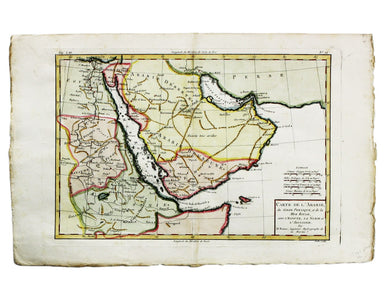
Carte de L’Arabie, du Golfe Persique et de la Mer Rouge, avec L’Egypte, La Nubie et L’Abissinie This map of Arabia is from the Atlas de Toutes Part...
View full details
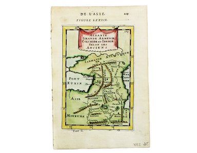
Albanie, Grand Armenie, Colchide et Iberie selon les anciens This map of the Ancient Caucasus is from Mallet’s Description de l’Univers. Condition ...
View full details
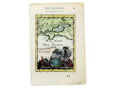
Condition & Materials Copper engraving, 14.5 x 10.5 cm, recent hand-colour, light waterstaining in upper margin, French text on verso, from Ma...
View full details
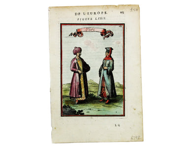
Condition & Materials Copper engraving, 15 x 10.5 cm, recent hand-colour, French text on verso, from Mallet’s Description de l’Univers.
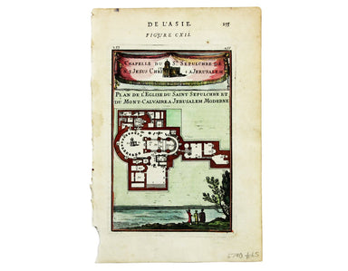
Chapelle du St Sepulchre de N.S. Jesus Christ à Jerusalem The Church of the Holy Sepulchre, Jerusalem, from Mallet’s Description de l’Univers. Cond...
View full details
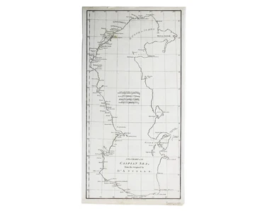
Condition & Materials Copper engraving, 52.5 x 26.5 cm; a chart of the Caspian Sea after Jean Baptiste Bourguignon d'Anville, black and white, ...
View full details
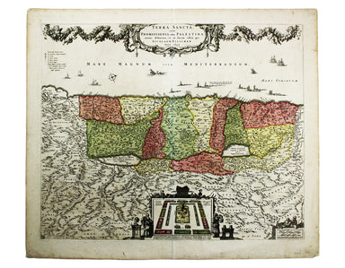
Terra Sancta, sive Promissionis, olim Palestina recens delineata, et in lucem edita per Nicolaum Visscher… Visscher’s influential map of the Holy L...
View full details
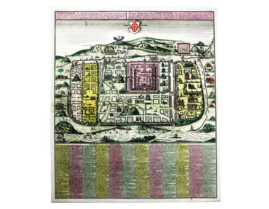
Jerusalem, cum suburbiis, prout tempore Christi floruit, accurate notatis omnibus insgnibus et praecipuè iis locis, in quibis Christus passus est e...
View full details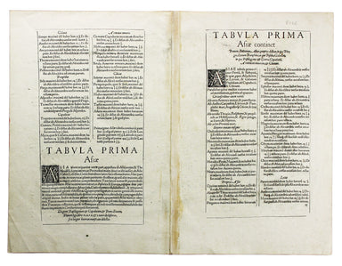
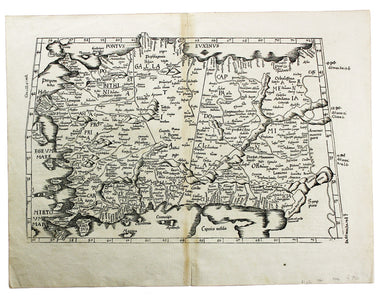
Tabula Prima Asiae continet Pontum, Bithyniam, Asiae propriae dictam, in qua Phyrgia Lyciam Pamphiliam, in qua Pisidia, Galatiam, in qua Paphlagoni...
View full details
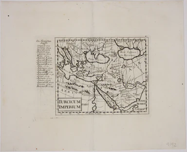
In the margin to the left of this map is an incomplete list of sultans of the Ottoman Empire. The map was published in Wagner’s ‘Delineatio Provinc...
View full details
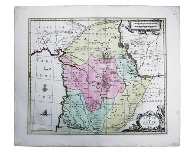
Syriae sive Soriae, nova et accurata descriptio Petrus Schenk and Gerard Valk often worked in partnership, towards the end of the Dutch Golden Age,...
View full details
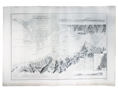
Mer Méditerranée – Port de Smyrne This French naval chart of Smyrna includes insets of Port d’Abri (the inner harbour at modern day Izmir) and two ...
View full details
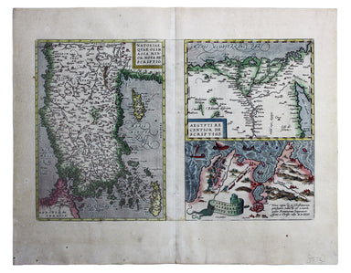
Natoliae quae olim Asia Minor nova descriptio / Aegypti recentior descriptio / Carthaginis celeberrimi sinus typus Here on one sheet we have three ...
View full details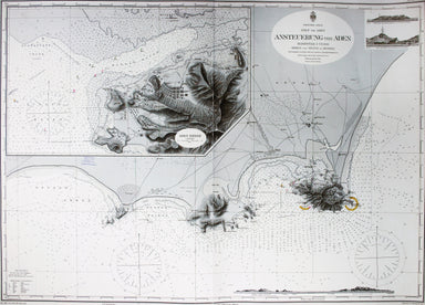
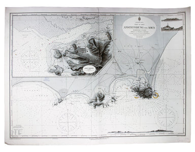
Indsicher Ozean – Golf von Aden – Ansteuerung von Aden This German naval chart of Aden shows breakwaters and lights highlighted in colour. It detai...
View full details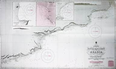
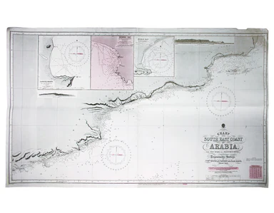
Chart of the South East Coast of Arabia from Ras Sukra to Palinurus Shoal, compiled from trigonometric Surveys First published in 1860 with correct...
View full details
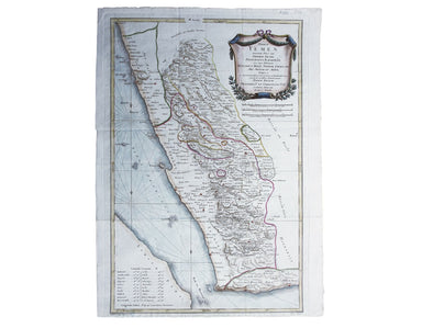
Terrae Yemen maxima Pars seu Imperii Imami, Principatus Kaukebân, nec non ditionum Haschid u Bekîl, Nehhm, Chaulân, Abu Arîsch Et Aden, Tabula ex o...
View full details
