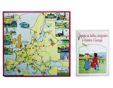
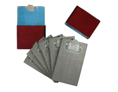

Faden's Chart of the English Channel & the Bay of Biscay
This chart shows the waters of the British Channel and the Bay of Biscay. The coasts of Ireland, Wales, England, France and Spain are also featured...
View full detailsThis chart shows the waters of the British Channel and the Bay of Biscay. The coasts of Ireland, Wales, England, France and Spain are also featured...
View full detailsThe Argonautica illustrates the mythical voyage of Jason and the Argonauts in their quest for the Golden Fleece. The map shows Black Sea and easter...
View full details
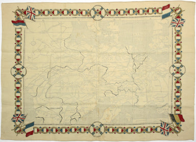
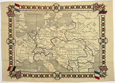
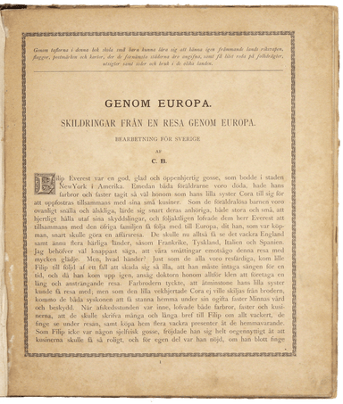
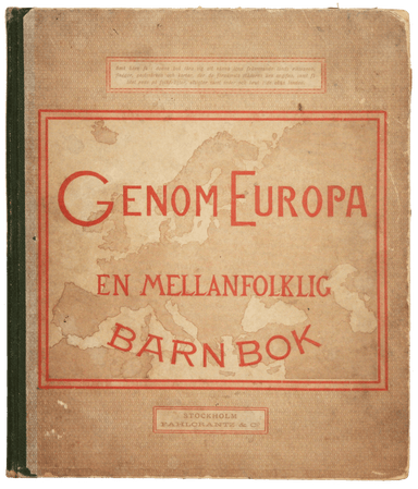
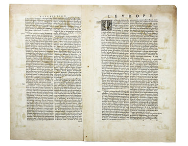
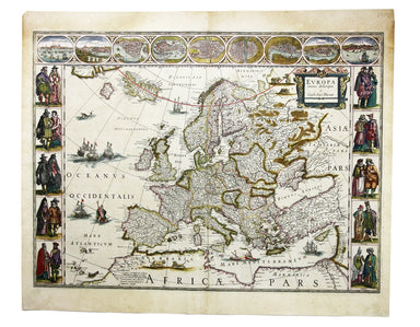
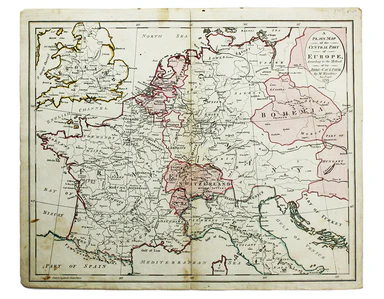
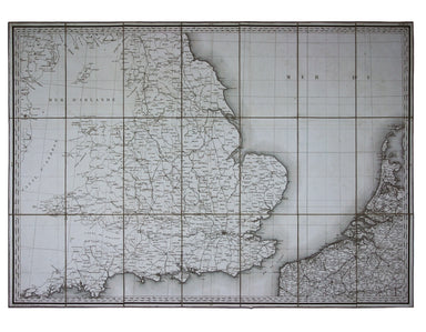
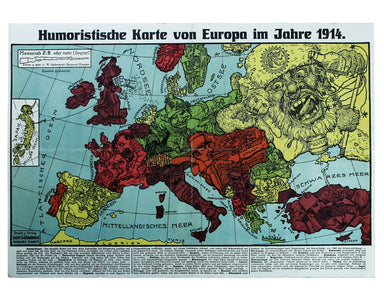
Voyage en ballon dirigeable a travers l’Europe Airship race game, board 36.5 x 38.5 cm, box label 26.5 x 19 cm, both printed in colours, neither la...
View full detailsThis wartime souvenir handkerchief map of Europe was issued ‘by permission of the Manchester Guardian’, who printed the map over a full broadsheet ...
View full detailsCollection of 61 ‘basic’ and ‘zone’ handbooks covering enemy and occupied countries in Europe, and Siam. A collection of 61 intelligence handbooks,...
View full detailsGenom Europa en mellanfolklig Barn Bok [cover title]. Stockholm: Fahlcrantz & Co. 1886 [i.e. 1895]. A typically bloodthirsty work for children ...
View full detailsonce having belonged to Colonel Robert Cheney Robert Cheney (1766-1820, former owner of this map of Europe) served in the 1st Foot Guards throughou...
View full detailsAeneae Troiani Navigatio, as Virgilii sex priores Aeneidos Copper engraving, c, trivial adhesion damage in left hand part of the map, above a depic...
View full detailsEuropa recens descripta Copper engraving, 41.5 x 56 cm, original hand-colour, some oxidisation, French text on verso. Blaeu's 'carte à figure' map ...
View full detailsA Plain Map of the Central Part of Europe. According to the Method of the Abbé Gaultier by Mr Wauthier his Pupil. Copper engraving, 36 x 44 cm, or...
View full detailsImperium Caroli Magni occidentis Imperatoris complectens Galliam, Marcam Hispanicam, Baleares insulas, Corsicam, Italiam Vulturnum usque et Ausidum...
View full detailsCarte Routière de la France dressée par ordre de Monsieur le Directeur Général des Ponts et Chaussées Large engraved map of Europe and the First Fr...
View full detailsHumoristische Karte von Europa im Jahre 1914 Satirical map of Europe, 35 x 50 cm, printed in colours, splits to folds, laid on tissue, blank verso....
View full details“Hell on Wheels” War Against the Axis 1942 – 1943 – 1944 First version of a campaign map charting the wartime progress of the US 2nd Armored Divisi...
View full details