Edwardian Airship Racing Game
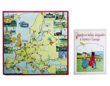
Voyage en ballon dirigeable a travers l’Europe No rule sheet, but fairly self explanatory: the board is a simplified map of Europe with vignettes o...
View full details

Voyage en ballon dirigeable a travers l’Europe No rule sheet, but fairly self explanatory: the board is a simplified map of Europe with vignettes o...
View full details
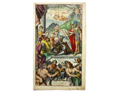
[Title-page] Atlas Novus This title-page shows Europe, seated, accepting tribute from the other continents: Asia, Africa and America. In the foregr...
View full details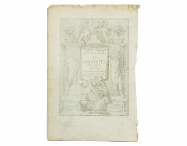
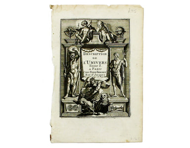
[Title-page] Description de l’Univers Tome I This is the title-page for the first volume of Mallet’s Description de l’Univers printed by Denis Thie...
View full details
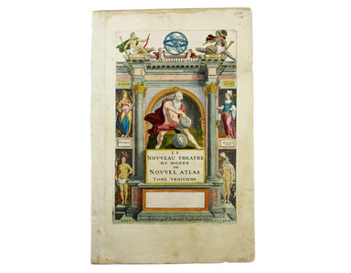
[Title-page] Le Nouveau Theatre du Monde ou Nouvel Atlas, Tome Troisieme Copper engraved title-page, 37.5 x 23.5 cm, later hand-colour, blank verso...
View full details
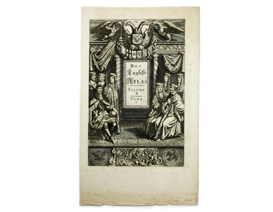
[Title-page] The English Atlas, Volume II Pitt worked in partnership with Janssonius’ heir Joannes van Waesbergen, and this title-page for the Germ...
View full details
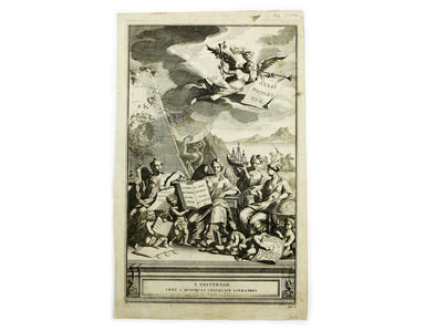
[Title-page] Atlas Historique The classical muses on this title page represent Chronology, History, Navigation and Geography. Atlas braces himself ...
View full details
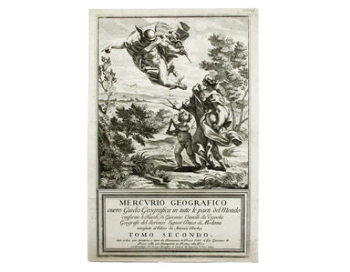
[Title-Page] Mercurio Geografico […] Tomo Secondo […] Condition & Materials Copper engraved title-page, 42 x 26.5 cm, black and white as issue...
View full details
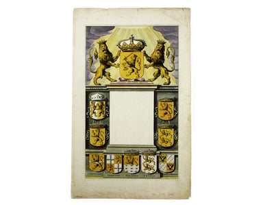
This is the general title page for Blaeu’s town books of the Netherlands. The first volume features plans and views of the towns of the Northern p...
View full details
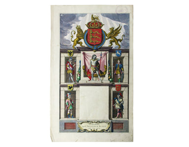
[Title page: Atlas Novus, volume IV] This is an architectural title page, engraved for the fourth volume of Blaeu’s Atlas Novus. The central panel ...
View full details

[Title-page] Anglorum Indoles Studia et Actiones In attempting to define the character of the English there is a strong emphasis on trade and disco...
View full details
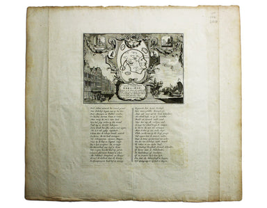
Afbeeldinge van’t zeer vermaarde Eiland Geks-Kop This Dutch ‘fool’s cap’ map satirises the bursting of the financial bubbles of 1720. Cartographic ...
View full details
