£950.00
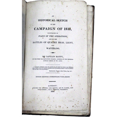
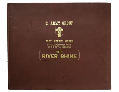
Presentation copy of Batty's account of the Waterloo campaign
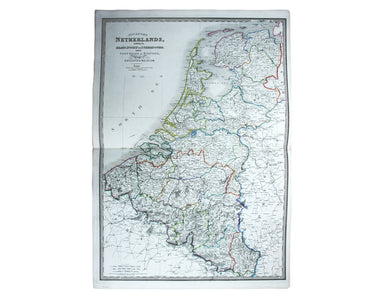
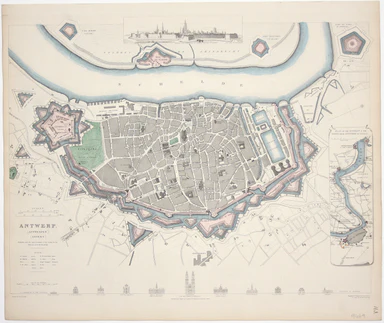
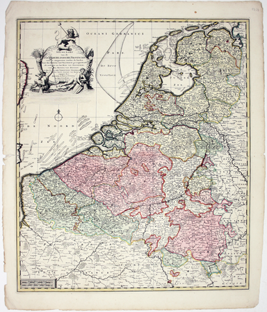
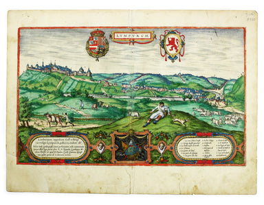
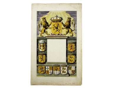
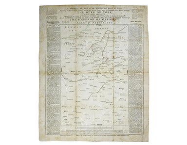
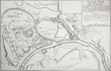
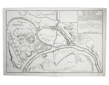
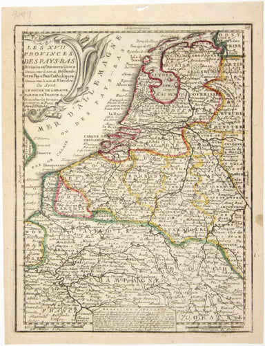
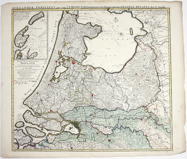
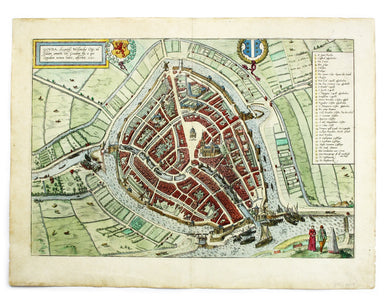
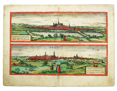
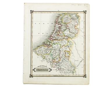
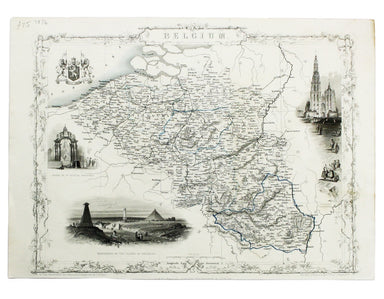
An Historical Sketch of the Campaign of 1815, illustrated by plans of the operations and of the battles of Quatre Bras, Ligny, and Waterloo... seco...
View full details