

Bowen's Map of the Americas
Bowen’s New General Map of America appeared in a number of publications, and features widely held cartographic misconceptions of the time, such as ...
View full details

Bowen’s New General Map of America appeared in a number of publications, and features widely held cartographic misconceptions of the time, such as ...
View full details

Hill's Los Angeles City Map and Tourist Guide This detailed city plan of Los Angeles is bordered by an extensive street index. A legend identifies ...
View full details

This map of the Dominion of Canada was made by John Bartholomew & Son for Dawson Brothers. It features insets of the environs of Montreal, New...
View full details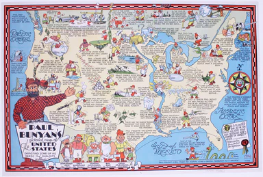
Paul Bunyan's pictorial map of the United States depicting some of his deeds and exploits Stories about Paul Bunyan, the lumberjack of gigantic pr...
View full details

After a lonely and hazardous journey (especially after he quarrelled and parted company with Major Stephen Long’s expedition) Beltrami (1779-1855) ...
View full details
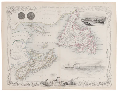
This map of Nova Scotia was engraved by John Rapkin for John Tallis' popular ‘Illustrated Atlas’; it includes black and white vignettes of Halifax,...
View full details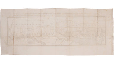
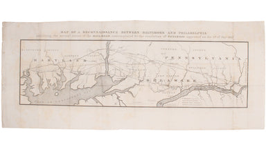
This route map was published in a report to Congress as ‘Letter from the postmaster general transmitting a report of General Bernard, of surveys of...
View full details
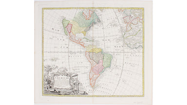
Our map of the Americas was prepared for the Homann firm by Johann Matthias Hase, professor of mathematics in Wittenberg, on his stereographic hori...
View full details
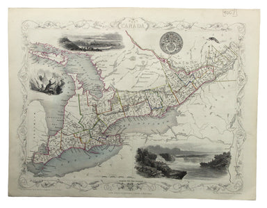
This map of West Canada was engraved by John Rapkin for the ‘Illustrated Atlas’. The map also includes black and white vignettes of Kingston, Ontar...
View full details
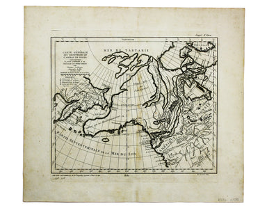
Carte générale des découvertes de l’Amiral de Fonte, representant le grande probabilité d’un Passage au Nord Ouest Maps depicting the purported voy...
View full details
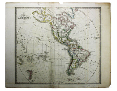
This map of America is from Wyld's New General Atlas. James Wyld senior established a highly successful firm of map publishers, which passed to his...
View full details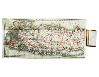
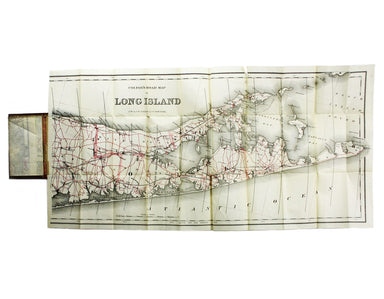
Condition & Materials Lithographed in red and black on two sheets, each 38.5 x 80 cm; this map of Long Island is printed on thin india paper; ...
View full details
