

Tenth edition of Anson's Voyage
A voyage round the world, in the years MDCCXL, I II, III, IV by George Anson, esq; now Lord Anson... compiled from his his letters and papers by Ri...
View full details

A voyage round the world, in the years MDCCXL, I II, III, IV by George Anson, esq; now Lord Anson... compiled from his his letters and papers by Ri...
View full details

Motus in Coelo Spirales This chart shows the irregular orbits of Mercury and Venus on Tycho Brahe’s model, as observed from Earth, for the years 17...
View full details

Bacon’s Map of the World on Mercator’s Projection Condition & MaterialsLithographed folding map, sheet size 48 x 66 cm. Original hand colour, a...
View full details
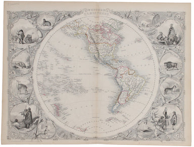
The map of the Eastern Hemisphere tracks the overland route to India (subject of a separate map in the series) and on to Australia. John Tallis the...
View full details
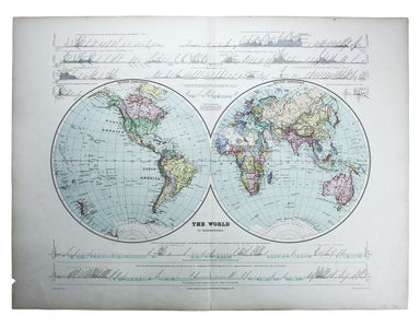
This double hemisphere world map was published in the second trade edition of Stanford’s London Atlas. Edward Stanford (senior) acquired Arrowmsith...
View full details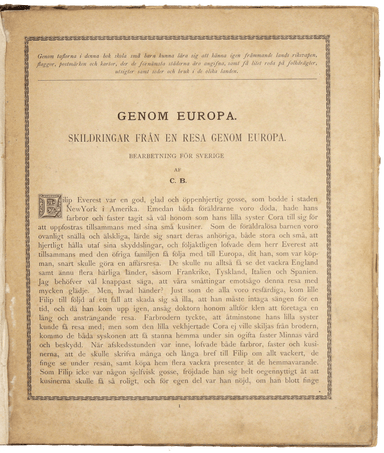
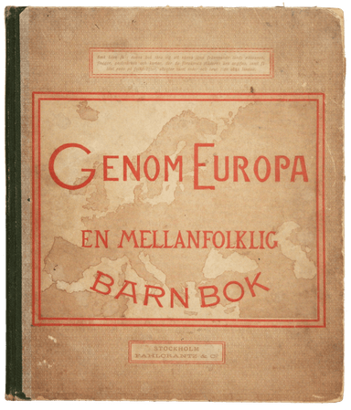
The framing device used by this children’s atlas is a little dark: Filip and his sister Cora are orphans, living with their aunt and uncle and cous...
View full details
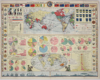
Founded in 1894, on the cusp of the Anglo-German naval arms race, the Navy League was a pressure group seeking to influence politicians and popular...
View full details
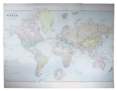
Chart of the World on Mercator’s Projection, shewing the principal Ocean Steam Routes, the Submarine Telegraph &c This world map was published ...
View full details
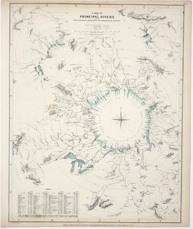
A Map of the Principal Rivers shewing their courses, countries and comparative lengths The Society for the Diffusion of Useful Knowledge was founde...
View full details
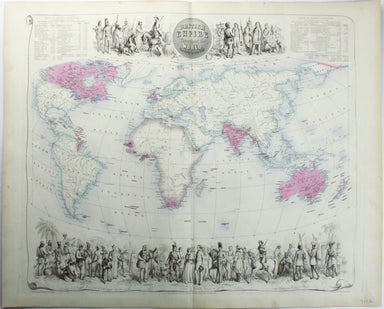
British Empire Throughout the World Exhibited in One View This is a highly decorative map of the British Empire by John Bartholemew, with British p...
View full details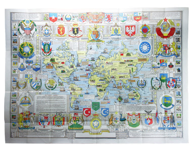
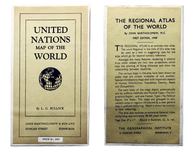
The United Nations was established in October 1945, and Bullock’s map is a joyful celebration of what promised to be a more effective successor to ...
View full details
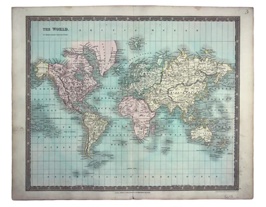
This map of the world is coloured by continent, with the exception of Russian America which is coloured as an extension of Asia. It was published i...
View full details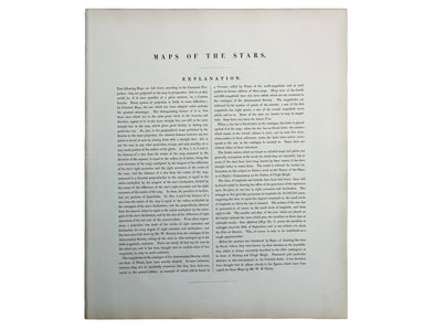
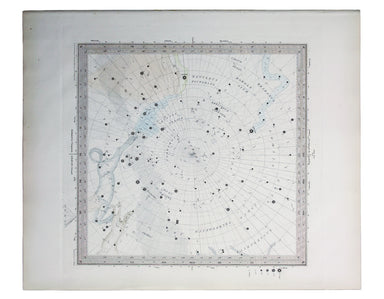
The Stars in Six Maps, on the the Gnomonic Projection, revised by the Rev. WR Dawes These star charts show allegorical images of the various conste...
View full details
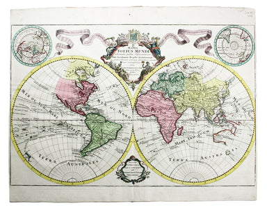
Mappa Totius Mundi adornata juxta Observationes dnn. Academiae Regalis Scientiarum et nonnullorum aliorum secundum annotationes recentissimas edita...
View full details
