

Navy League Pocket Map of the British Empire
SKU: 9198
Title:
Navy League Pocket Map of the British Empire
Date of publication:
Printed Measurement:
Publisher:
Colour:
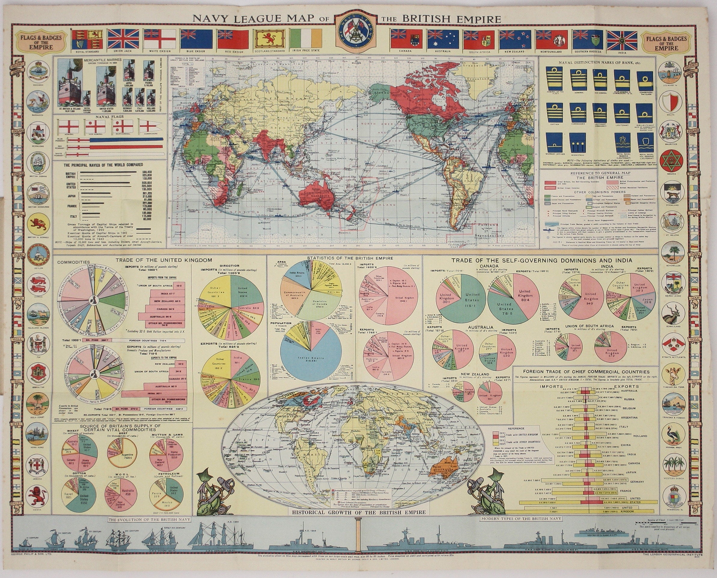
Founded in 1894, on the cusp of the Anglo-German naval arms race, the Navy League was a pressure group seeking to influence politicians and popular opinion (including the nation’s youth) in the cause of maintaining a powerful navy to protect British interests overseas – through trade and empire.
The borders of this map show flags and badges of the British Empire, and a smaller map at the foot charts its historical growth. At the bottom is a series of vessels illustrating the evolution of the British ‘navy’, stretching back into the Anglo-Saxon era (a school of thought asserted that its origins lay with the fleet ordered by King Alfred in 896). Dwarfing the other modern types is the mighty Hood, launched in 1918 and sunk by the Bismarck in 1941. Much of the sheet is devoted to tables of statistics, analysing the relative strengths of the world’s navies and mercantile marines, and international trade. Read more
The main map highlights the British Empire (including recently mandated territories) but the eye is drawn to the great commercial sea routes. The new postwar political boundaries made fresh wall and pocket maps essential, across the board, but our map was also published in the year of the Washington Naval Treaty. Germany's navy had been effectively neutralised at Versailles, but at Washington the size of national navies and individual ships were limited for the victorious powers too.
Opinion in the Navy League was split between a leadership which publicly welcomed moves towards universal disarmament in the aftermath of the war to end all wars, and a membership which was far from convinced. Some members who were serving or former officers in the Royal Navy, such as Admiral Freemantle and Captain Dewar, forcibly expressed opinions that the League had abrogated responsibility for ensuring that the public understood the importance of maintaining naval supremacy.
Condition & Materials
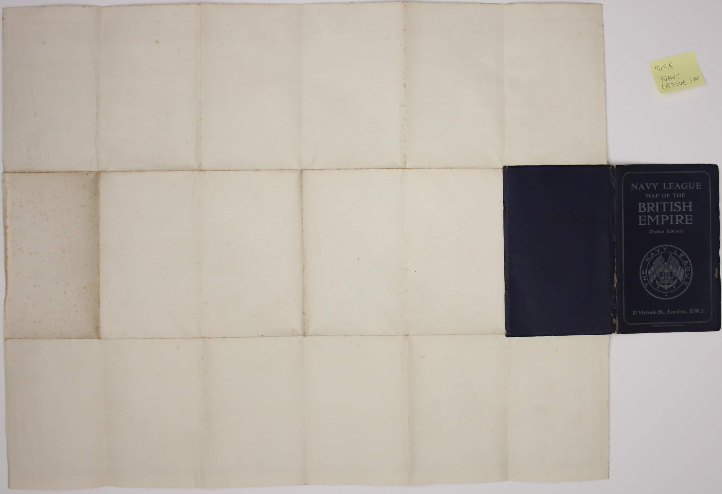
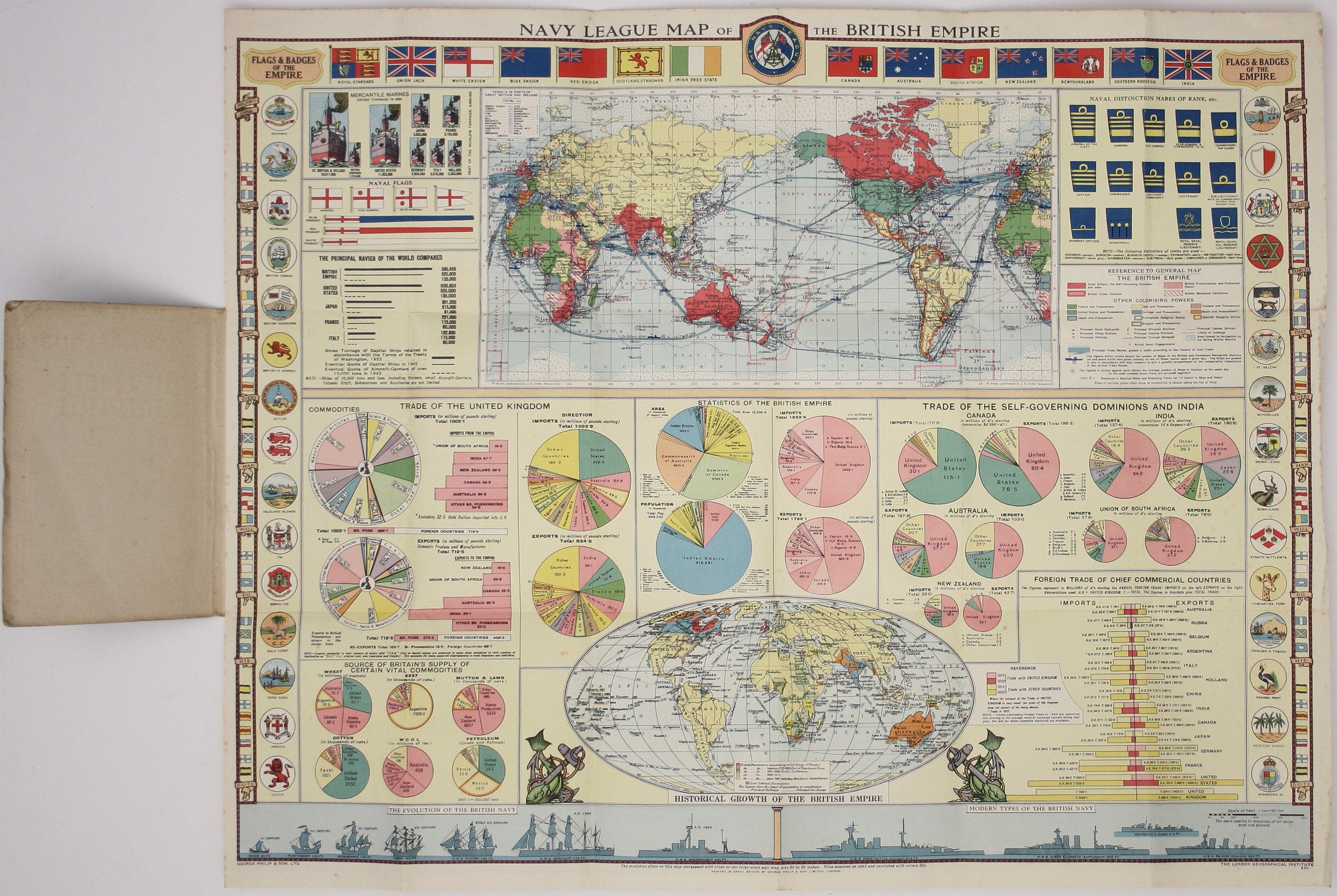
Folding map of the British Empire, 50 x 63.5 cm, printed in colours, laid on linen and folding into stiff card covers, which are a little rubbed and worn.
References
cf Duncan Redford in a 2010 article, ‘Collective Security and Internal Dissent’ Read less