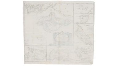
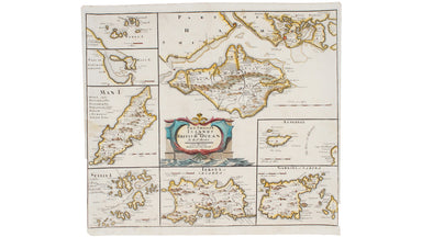
Morden's Map of British Islands
Robert Morden's maps were engraved to illustrate Gibson's edition of William Camden's Britannia, first published in 1695 and reprinted in 1722 and ...
View full details

Robert Morden's maps were engraved to illustrate Gibson's edition of William Camden's Britannia, first published in 1695 and reprinted in 1722 and ...
View full details
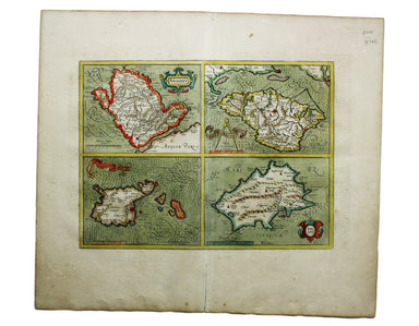
La VIII Table d’Angleterre/Anglesey, Wight, Vectis olim, Garnsey, Iarsay Islands around the British coast were often grouped, in various combinatio...
View full details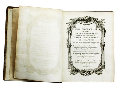
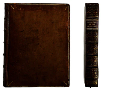
Jacques Nicolas Bellin the elder (1703-1772) was first chief hydrographic engineer of the "Dépôt des cartes, plans et journaux du Ministère de la M...
View full details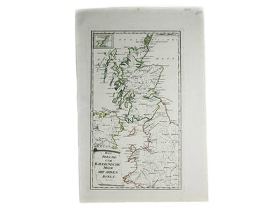
Das Irische und Kaledonische Meer mit Seinen Inseln This map focuses on the islands off the coast of Scotland and in the Irish Sea, and it's from f...
View full details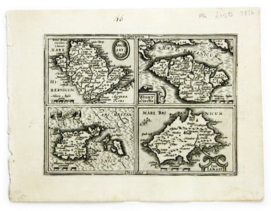
Anglesey Ins[ula]; Wight ol[im] Vectis; Ins[ula] Garnsey; Ins[ula] Iarsay This map of Anglesey, the Isle of Wight, Guernsey and Jersey was engraved...
View full details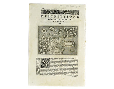
Isola Hebride, et Orcade First published in 1572, our map of the Hebrides and Orkney islands is from the second edition of L’Isole piu famose del M...
View full details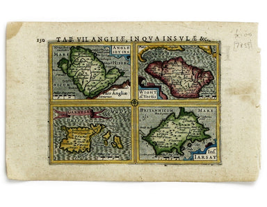
Anglesey Insula; Wight olim Vectis; Insula Garnsey; Insula Iarsay This map of Anglesey, the Isle of Wight, Guernsey and Jersey is from the first ed...
View full details
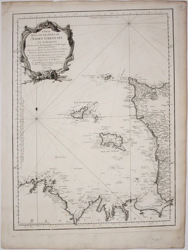
Carte reduite des Isles de Jersey Grenesey et d'Aurigny avec les Costes de Normandie et de Bretagne qui en sont voisines This chart covers the Chan...
View full details
