

Bellin’s Essai Géographique sur les Isles Britanniques
SKU: 6882
Title:
Bellin’s Essai Géographique sur les Isles Britanniques
Date of publication:
Binding:
Publisher:
Author:
Edition:
Jacques Nicolas Bellin the elder (1703-1772) was first chief hydrographic engineer of the "Dépôt des cartes, plans et journaux du Ministère de la Marine," charged by the French king with mapping the coasts of France first and then the rest of the world. He was also a member of the Royal Society of London.
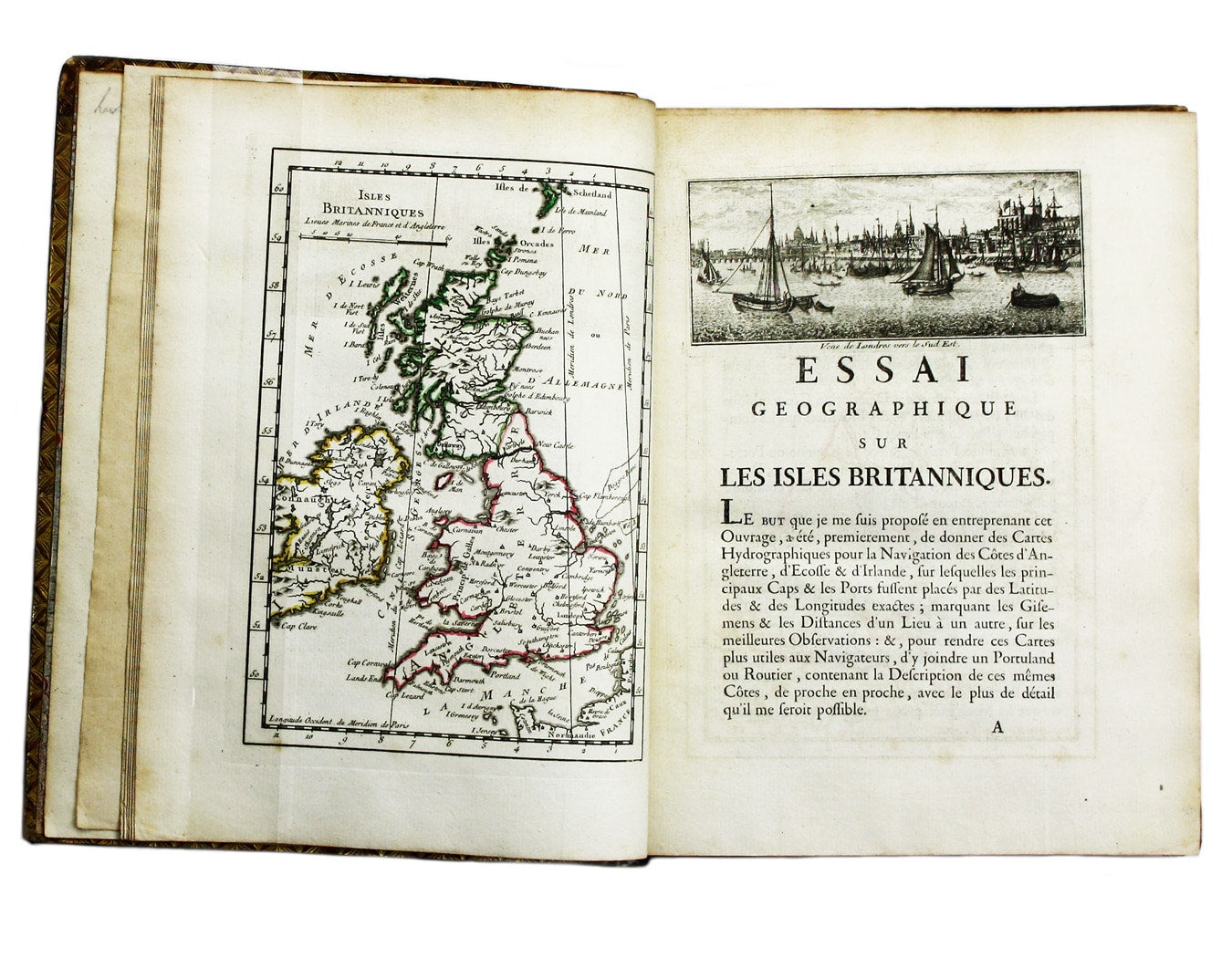
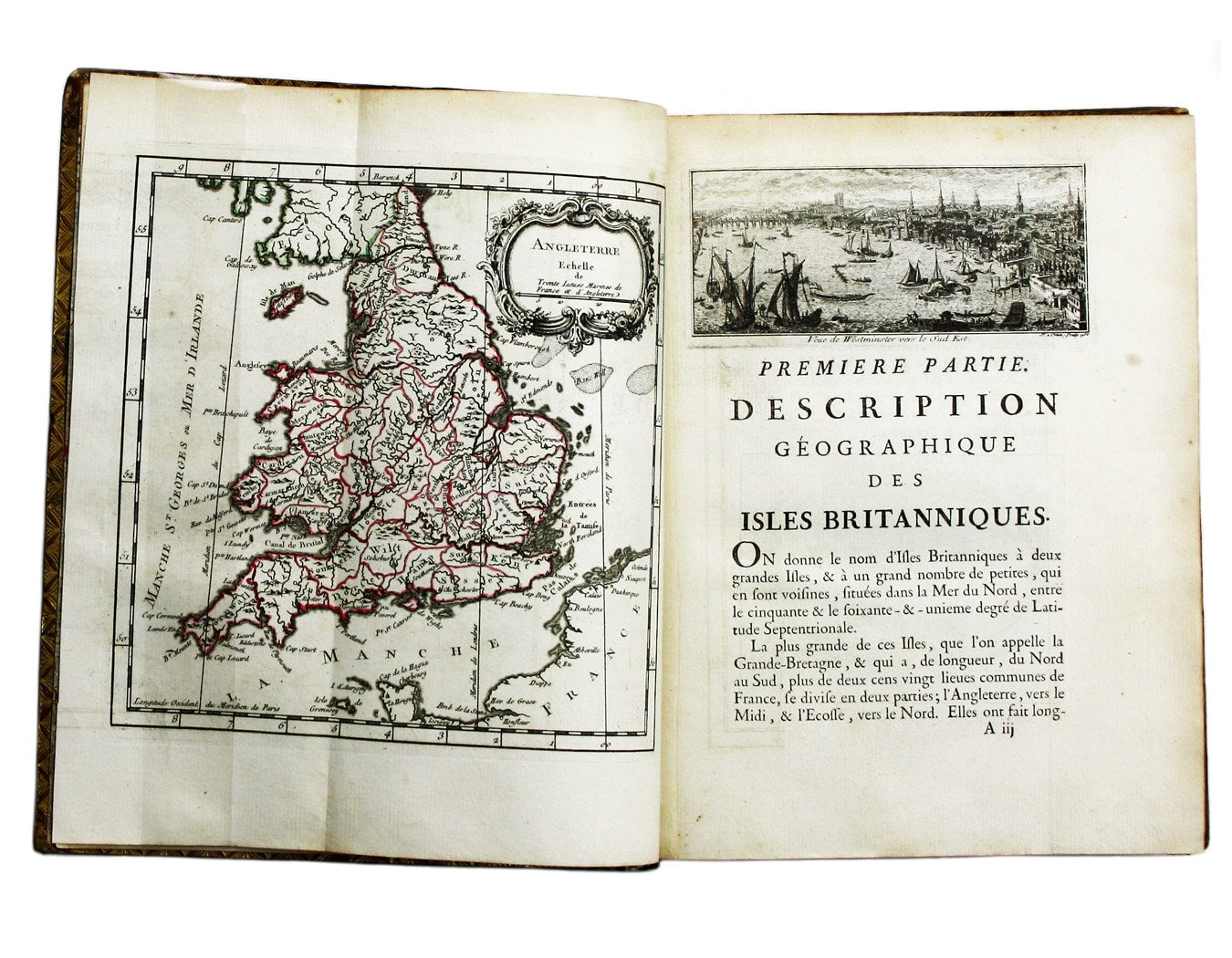
His work on the British Isles is divided into three parts: a geographical description of the three kingdoms; a description of the coasts, harbours, soundings etc; and an analysis of the maps. Read more
The work attracted the early attention of antiquary Richard Gough (British Topography, 1780): “Bellin observes that the French maps of England are worth very little; he made use of Collins’s Great Britain’s Coasting Pilot [the routier is an almost verbatim translation of Collins’s text] Moll’s maps, Speed’s Theatre, Morden’s county maps, Kitchin and Jefferys’ small English Atlas, 1751, Bowen’s maps in the System of Geography, and Jefferys’ six-sheet map, which, he says, proves the want of exactness in all. [...] for want of sufficient materials, he considers it only as an essay, though the first of the kind. By the affectation peculiar to his countrymen, or the negligence of his printer, he has given directions scarce intelligible to us, though copied from English guides”.
The need for a work of this nature - at the height of the Seven Years’ War and with the real possibility of a French invasion - will be readily apparent; however, the quality of engraving and printing is as superb as one might expect.
Condition & Materials
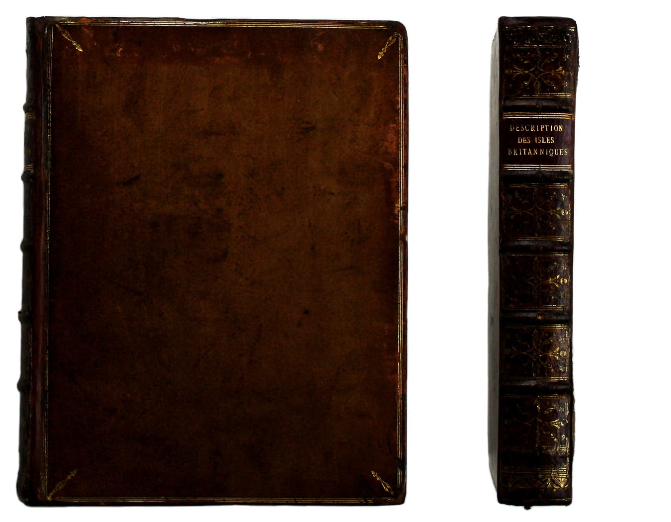
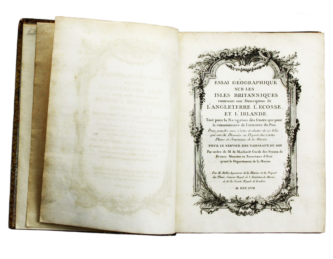
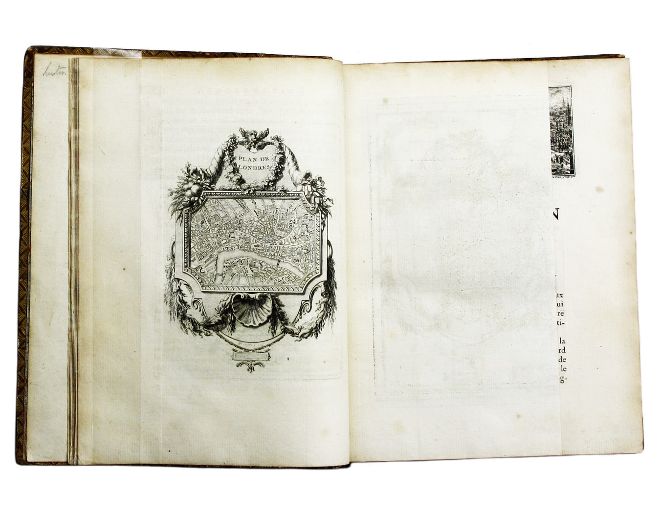
Jacques Nicolas Bellin: Essai Géographique sur les Isles Britanniques. A Paris, de l’Imprimerie de Didot, 1757. 4to. pp. [vi], 471, [i] + finely engraved additional title within an elegant rococco border, title vignette, 5 maps (hand-coloured in outline) and 35 vignette views and plans of British towns and harbours, occasional trivial spotting but in general a crisp and clean example; contemporary speckled calf, rubbed and worn but sound, sometime rebacked preserving original spine. Read less