£300.00


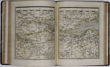
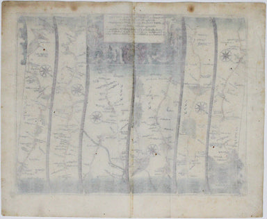
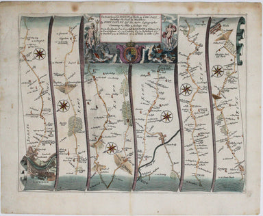
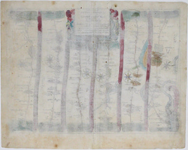
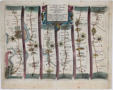
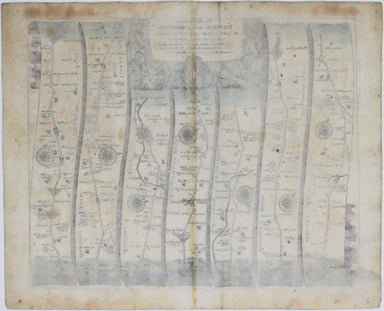
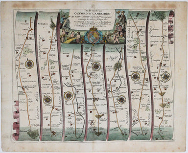
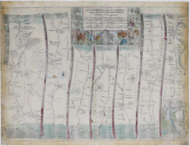
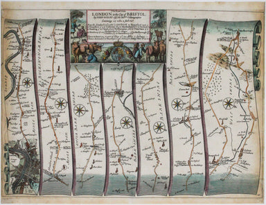
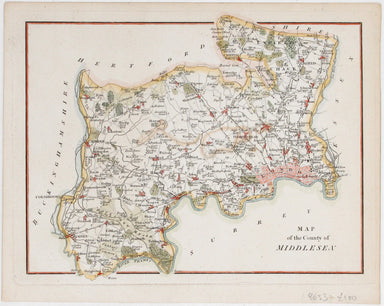
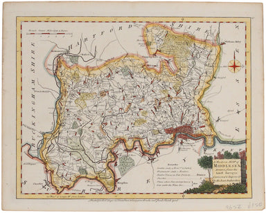
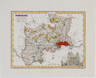
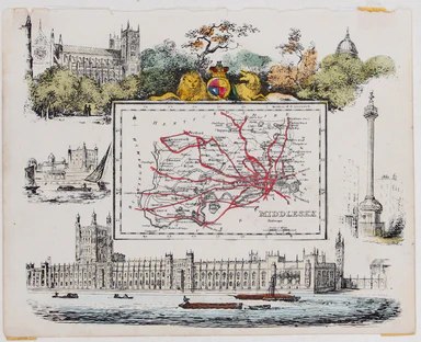
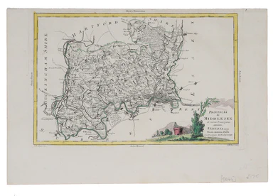
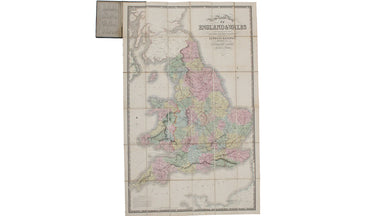
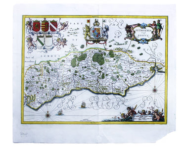
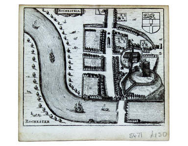
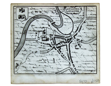
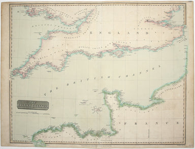
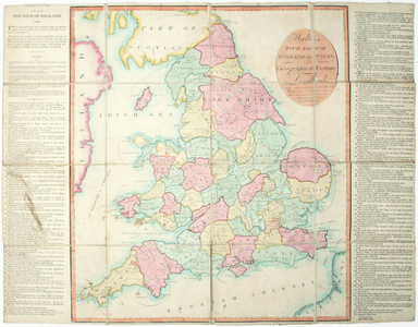
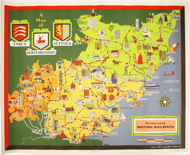
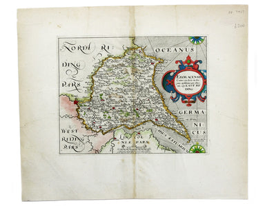
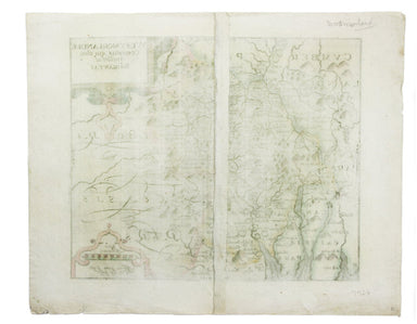
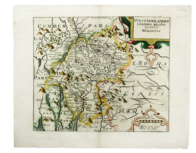
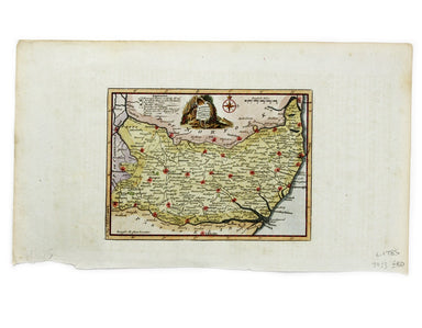
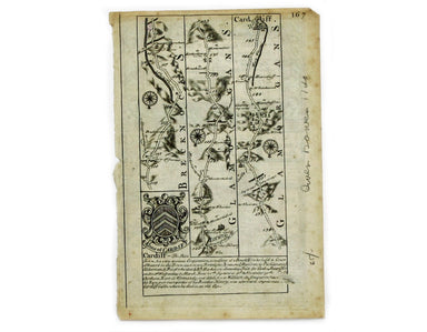
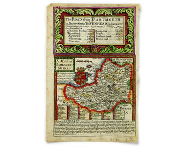
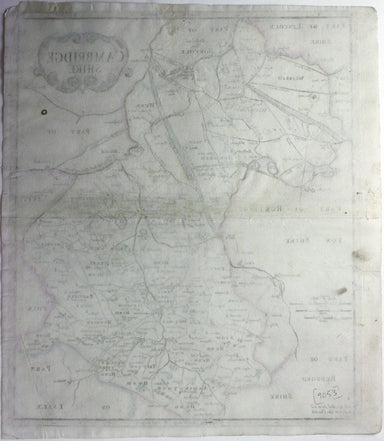
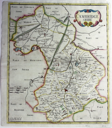
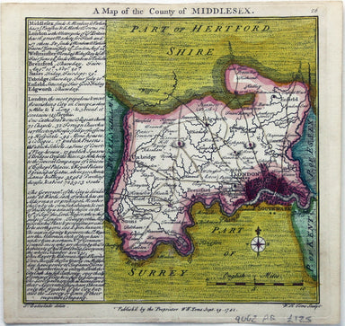
Smith's New Map of England and Wales
Smith's New Map of England and Wales, with part of Scotland including the turnpike and principal cross roads, the course of the rivers and navigabl...
View full details