£600.00


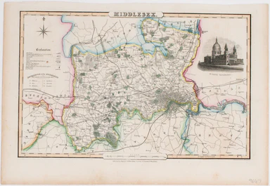
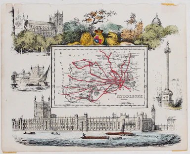
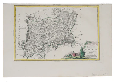
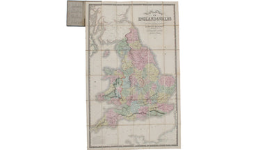
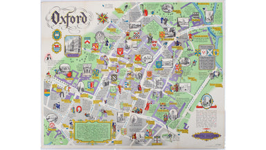
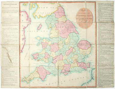
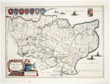
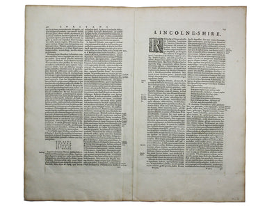
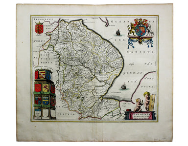
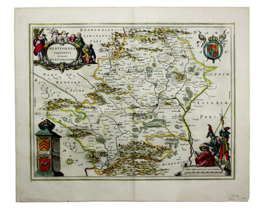
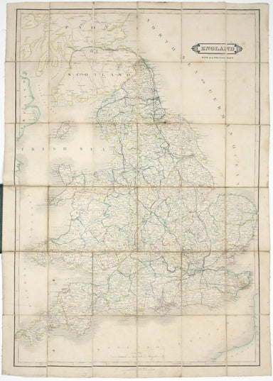
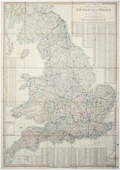
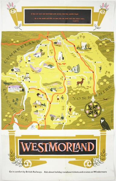
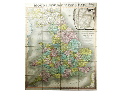
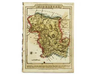
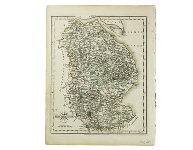
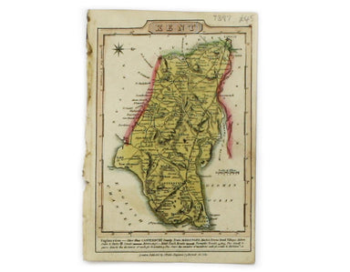
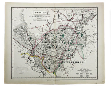
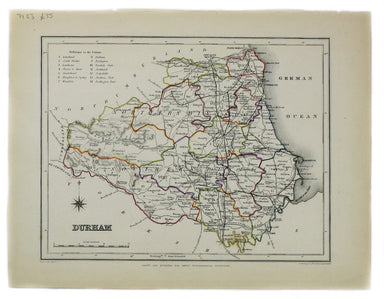
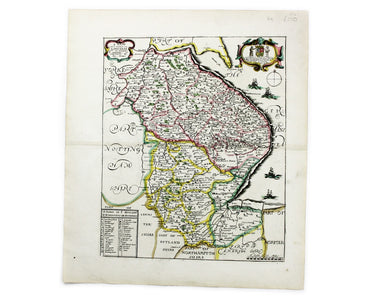
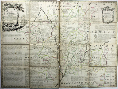
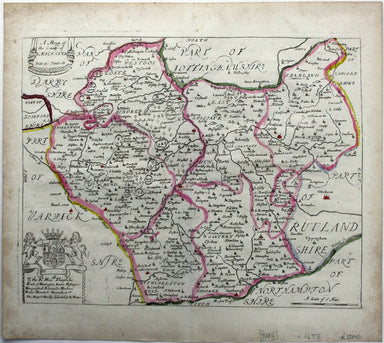
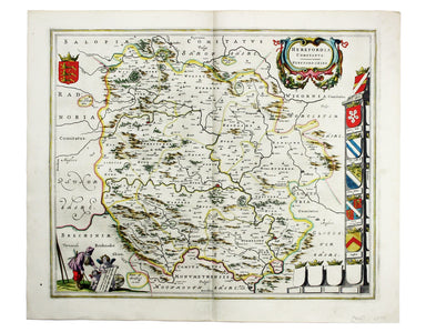
Blaeu's Map of Norfolk
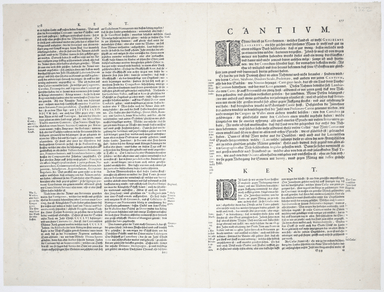
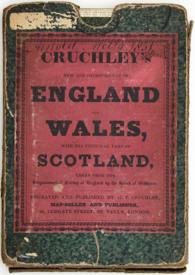
Blaeu and the rival Golden Age Dutch cartographic publishing house of Janssonius raced to bring out atlases of the British Isles in the 1630s and e...
View full details