

Bradshaw’s Early Canal Map of the Southern Counties
SKU: 9420
Title:
Bradshaw’s Early Canal Map of the Southern Counties
Date of publication:
Printed Measurement:
Colour:
Mapmaker:
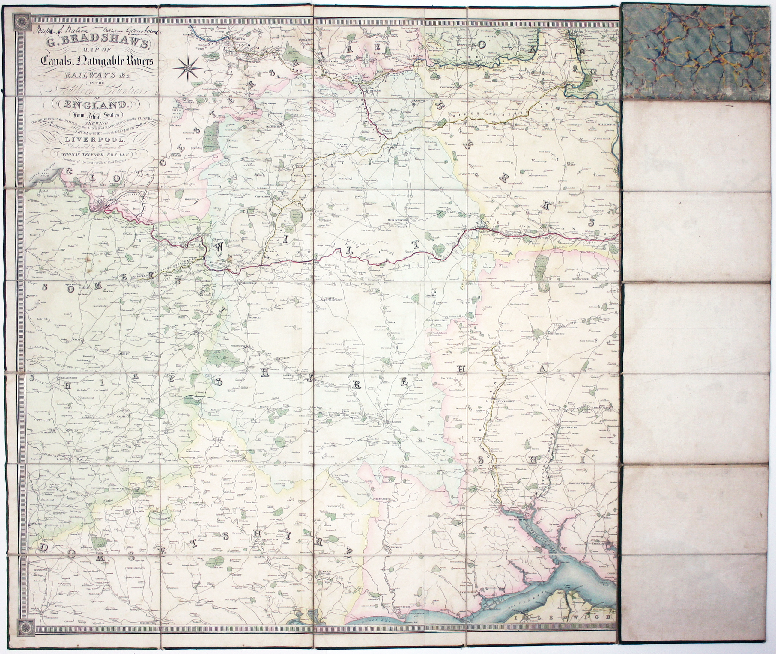
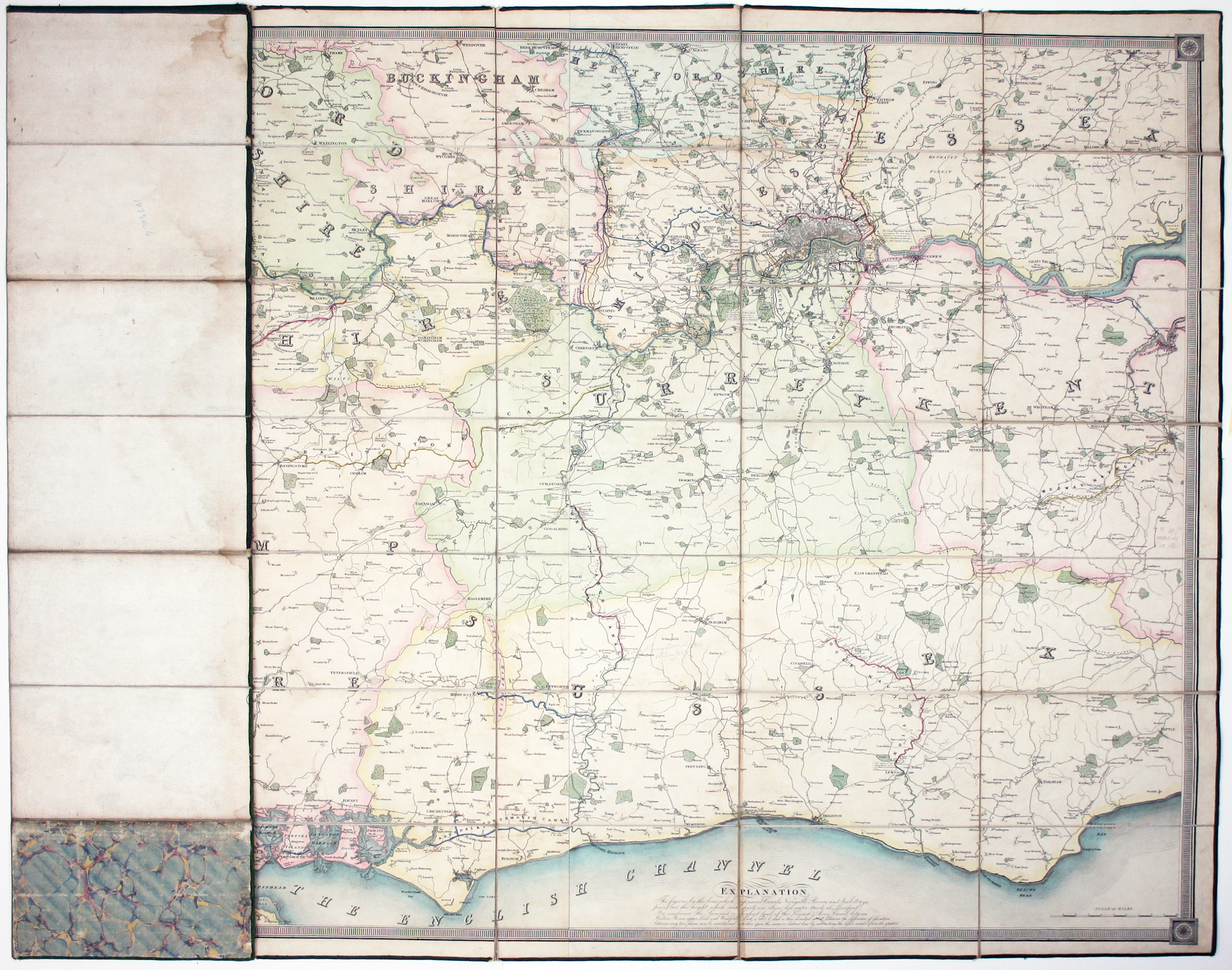
G. Bradshaw’s Map of Canals, Navigable Rivers, Rail Roads etc. in the Southern Counties of England. From actual survey shewing heights of the ponds on the lines of navigation, also the planes on the railways… Dedicated by permission to Thomas Telford
This map was the third of ‘Bradshaw’s Maps of Inland Navigation’, completing a set of canal maps first published in 1829-1830 which also covered the north and midlands. Bradshaw had trained as an engraver, and he had engraved maps for others (for example, in 1830 he engraved Elias Hall’s ‘A mineralogical & geological map of the coalfield of Lancashire’) but this was the first significant series which he compiled himself. Read more
Published a decade before the railway maps and guides which made him a household name, his canal maps ‘earned for him a great reputation’. Half a dozen or so examples dated 1830 are held by institutions around the world, listed on Worldcat; one dated 1833 is in the Huntington Library, and an 1835 example is in the Bodleian. Our example is undated, but appears to date from the early 1830s. It shows some early railways such the Croydon and Merstham, and Avon and Gloucestershire railways; the London and Birmingham Railway is ‘proposed’. The map covers a large extent of southern England stretching between parts of Somerset and western Kent, and includes London.
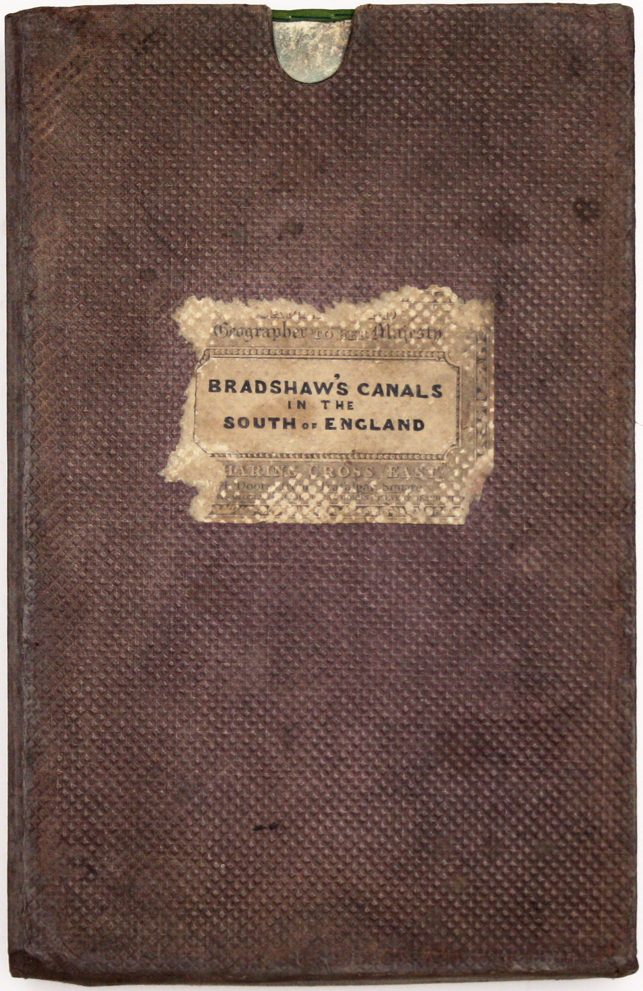
Condition & Materials
3 engraved map sheets, joined, 99.5 x 189.5 cm, dissected into 56 panels and laid on linen, original hand colour, minor wear, edged in green silk; folding into brown cloth slipcase with worn publisher’s paper label; base renewed. Later ownership signature (above the title) of Joseph S Watson, Beckingham, Gainsborough (the owner of a Lincolnshire shipyard, which he appears to have established in Beckingham, on the Gainsborough side of the River Trent, in 1889). A pencilled note in the same hand refers to the closure of part of a navigation in January 1888, suggesting that the map was still in use in the late 19th century (although it seems to be referring to part of the Wey and Arun Canal, which had fallen into disuse in the 1870s)
References
Royde-Smith, The History of Bradshaw, p. 17 Read less