

Tenth edition of Anson's Voyage
A voyage round the world, in the years MDCCXL, I II, III, IV by George Anson, esq; now Lord Anson... compiled from his his letters and papers by Ri...
View full details

A voyage round the world, in the years MDCCXL, I II, III, IV by George Anson, esq; now Lord Anson... compiled from his his letters and papers by Ri...
View full details

Nouveau voyage en Espagne, ou tableau de l'état actuel de cette monarchie Jean-François, baron de Bourgoing (1748-1811), was a French diplomat, wr...
View full details

This map shows Lisbon on the banks of the River Tagus, still at the height of her prosperity as the hub of a Portuguese empire and trade network wh...
View full details

This plan of the town and harbour of Mahon, St. Philip’s Castle, and its fortifications was engraved by Isaac Basire and published in Nicholas Tind...
View full details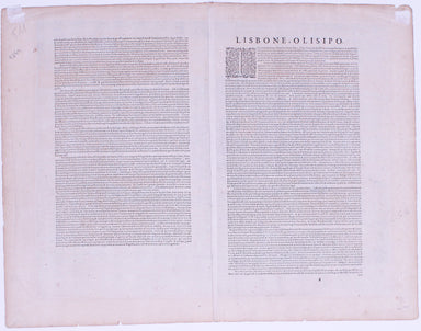
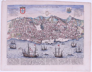
Olissippo quae nunc Lisboa, civitas amplissima Lusitaniae, ad Tagum, totius Orientis, et multarum Insularum Aphricaeque et Mericae emporium nobilis...
View full details
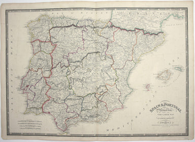
Spain and Portugal. Reduced from the large map in four sheets James Wyld senior established a highly successful firm of map publishers, which passe...
View full details
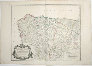
Partie Septentrionale de la Couronne de Castille où se trouvent les Royaumes de Castille Vieille, de Leon, de Gallice, des Asturies, la Biscaye et ...
View full details
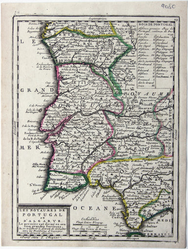
Les Royaumes de Portugal et d’Algarve This map of Portugal was published in Chiquet’s ‘Le nouveau et curieux atlas géographique et historique ...’....
View full details
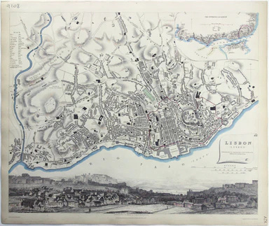
This map of Lisbon was engraved by Josiah Henshall after William Barnard Clarke. It was published by the Society for the Diffusion of Useful Knowle...
View full details
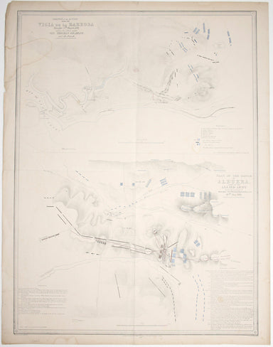
Sketch of the action near the Vigia de la Barrosa fought 5th March, 1811 between the allied armies under Sir Thomas Graham, and the French […] Plan...
View full details
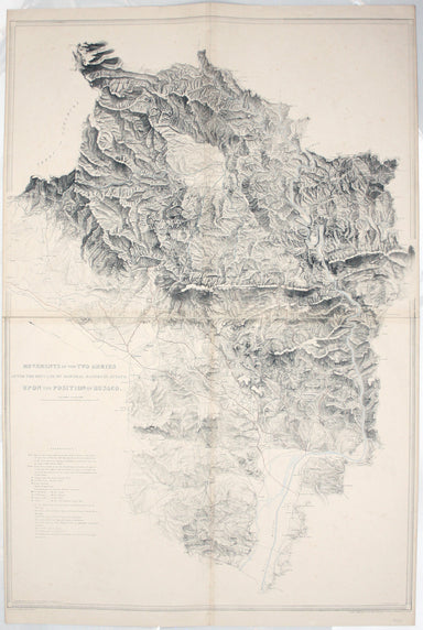
Movements of the two armies after the repulse of Marshall Massena’s attack upon the position of Bussaco This map was lithographed by AR Grive and p...
View full details
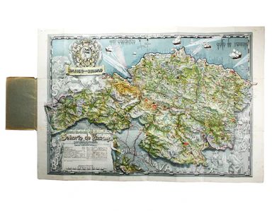
Carta ilustrada del Muy Noble y Muy Leal Señorio de Vizcaya This map was published to mark the centenary of the Banco de Bilbao, one of the big fou...
View full details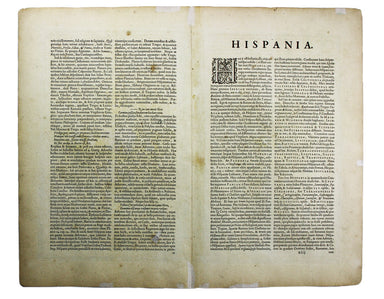
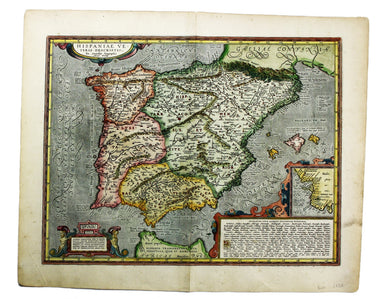
Hispaniae veteris typus Our example of this map of Ancient Spain was published by Balthasar Moretus at the Plantin Press, in the final edition of t...
View full details
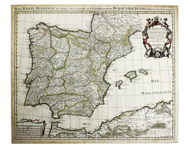
L’Espagne dressée sur la Description qui en a eté faite par Rodrigo Mendez Sylva… par G. de l’Isle/Nova Regni Hispaniae accurata descriptio… Thus ...
View full details
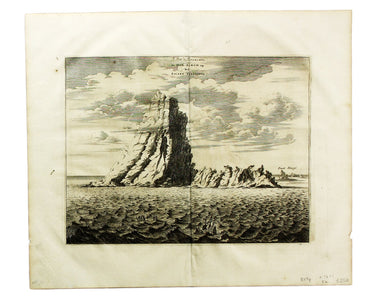
Le Pik de Teneriffe/De Piek-Bergh op het Eilant Tenerifto The Anaga mountain range meets the sea in the northeastern part of Tenerife, close to the...
View full details

Plan of Cardona, a strong City and Castle of Catalonia, upon the River Cardoner as besieged by the French and defended by the Allies This plan of t...
View full details
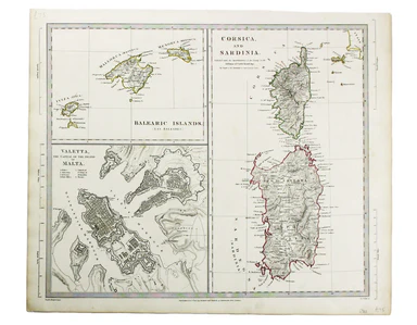
This map of the Balearics, Corsica, Sardinia and Valetta was published by the SDUK The Society for the Diffusion of Useful Knowledge was founded in...
View full details
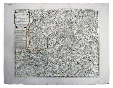
La Castille Vieille et Nouvelle This map shows Old and New Castile in central Spain. Condition & Materials Copper engraving, 44.5 x 55.5 cm, or...
View full details
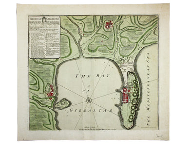
The Bay of Gibraltar. With a plan of the Town, Rocks and Fortifications of Gibraltar as they now are. Also a plan of Algezira… Copied from the Drau...
View full details
