

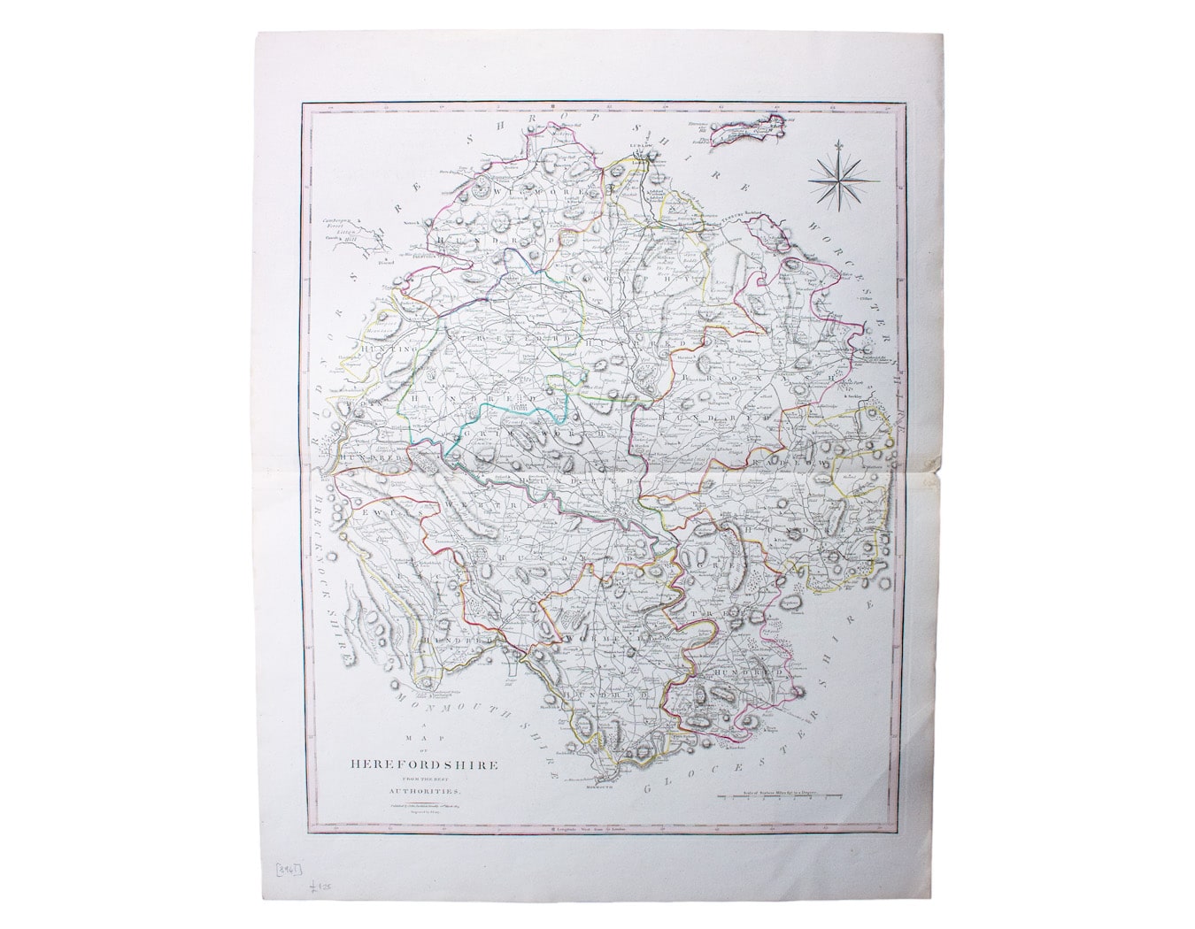
Cary’s Map of Herefordshire, from Camden’s Britannia
SKU: 8941
Title:
Cary’s Map of Herefordshire, from Camden’s Britannia
Date of publication:
Printed Measurement:
Publisher:
Colour:
Mapmaker:
This characteristically clear and elegant map of Herefordshire is by John Cary, one of the leading cartographic engravers, publishers and globe-makers of the period, perhaps best known for his English county atlases.
This is the second state of the map, which was first published in the 1789 edition of Camden’s Britannia edited by the antiquary Richard Gough, and reprinted with minor revisions by Stockdale.
Read more
Condition & Materials
Copper engraving, 53.5 x 43.5 cm, original hand-colour, blank verso. Read less