Lizars’ Railway Map of England & Wales
SKU: 9440
Title:
Lizars’ Railway Map of England & Wales
Date of publication:
Printed Measurement:
Colour:
Mapmaker:
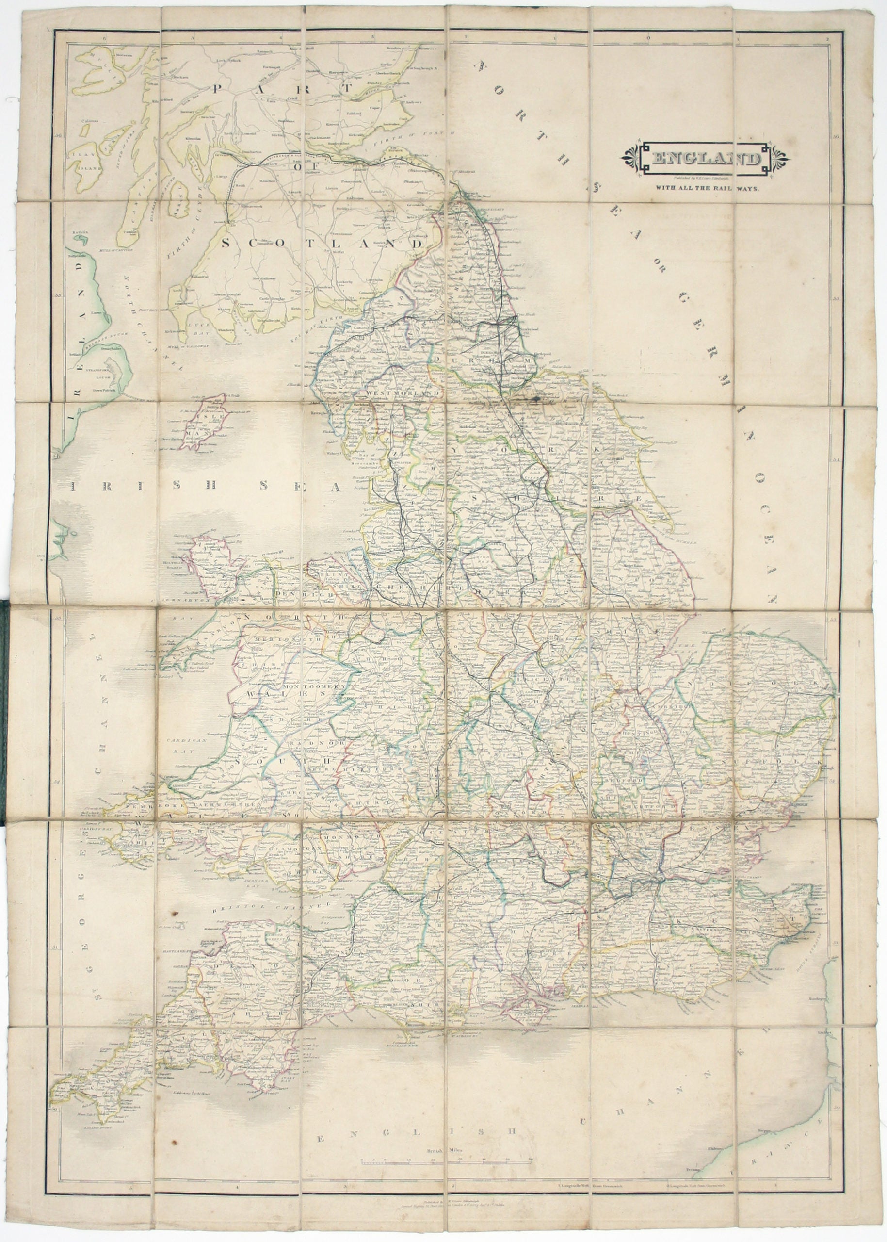
England, with all the railways…
This edition of Lizars’ railway map was published c. 1845, featuring lines such as the Maryport & Carlisle Railway, which was completed in that year (although map publishers sometimes pre-empted reality in order to keep their maps current for as long as possible). Read more
Lizars was Edinburgh based and his map includes southern Scotland, showing early Scottish lines such as the Glasgow, Paisley and Greenock Railway (completed 1841). The Great North British Railway is described as ‘proposed’: established in 1844, the line opened in 1846, which confirms the likely window of publication. Lizars trained as a painter, but in 1812 took over the Edinburgh publishing and engraving business established by his father.
Condition & Materials
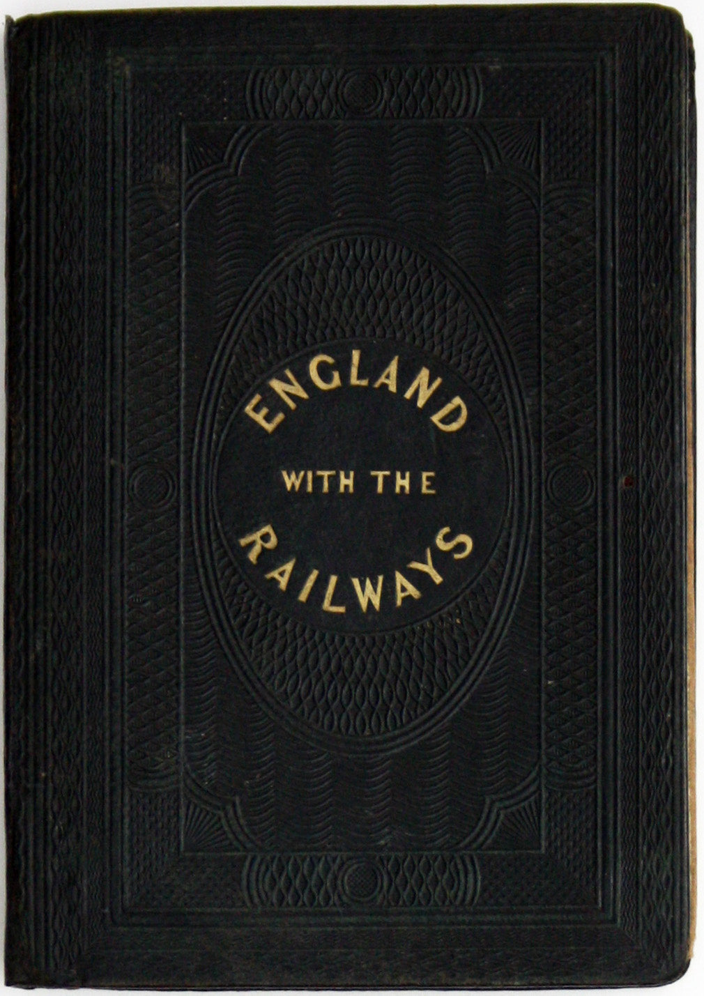
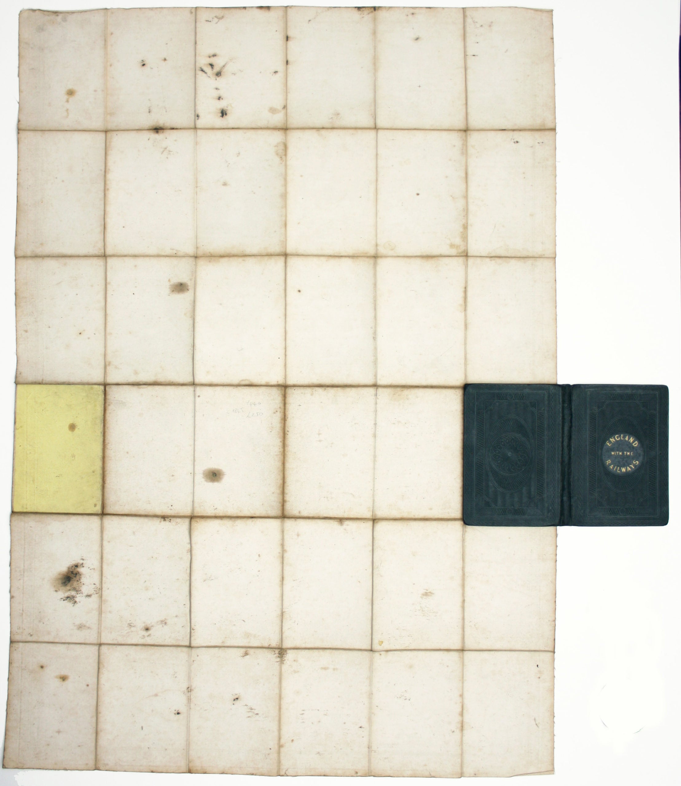
Engraved folding map, sheet size 84.5 x 59 cm, dissected into 36 panels and laid on linen, original hand-colour in outline, somewhat soiled and dusty; folding into publisher’s green calf covers, handsomely tooled in gilt and blind, foot of spine renewed; embossed bookseller’s ticket to front pastedown. Read less


