

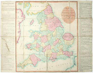
Smith's New Map of England and Wales
Smith's New Map of England and Wales, with part of Scotland including the turnpike and principal cross roads, the course of the rivers and navigabl...
View full details

Smith's New Map of England and Wales, with part of Scotland including the turnpike and principal cross roads, the course of the rivers and navigabl...
View full details
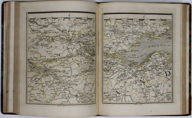
Cary’s new map of England and Wales, with part of Scotland. On which are carefully laid down All the Direct and Principal Cross Roads the Course of...
View full details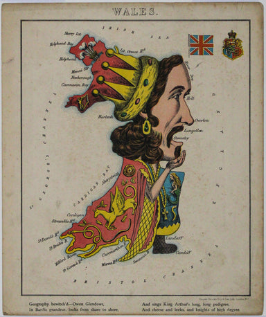
This anthropomorphic map depicting Wales as "Owen Glendowr, in Bardic grandeur" is from 'Geographical Fun: Being Humorous Outlines of Various Count...
View full details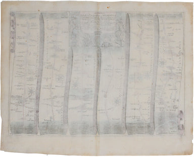
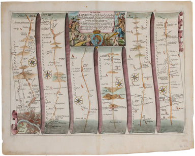
This road map includes London, Islington, and Highgate, and extends as far as Towcester. It was published as sheet 21 in the 1698 folio edition of ...
View full details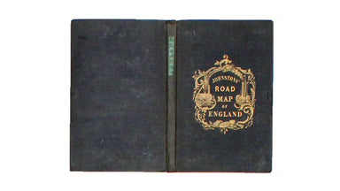
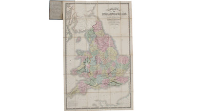
New Road Map of England & Wales... shewing all the lines of railway, canals &c., describing the picturesque scenery and forming a complete ...
View full details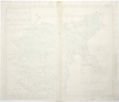
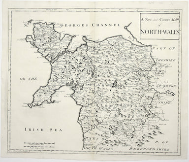
A New and Correct Map of North Wales Robert Morden's maps were engraved to illustrate Gibson's edition of William Camden's Britannia, first publish...
View full details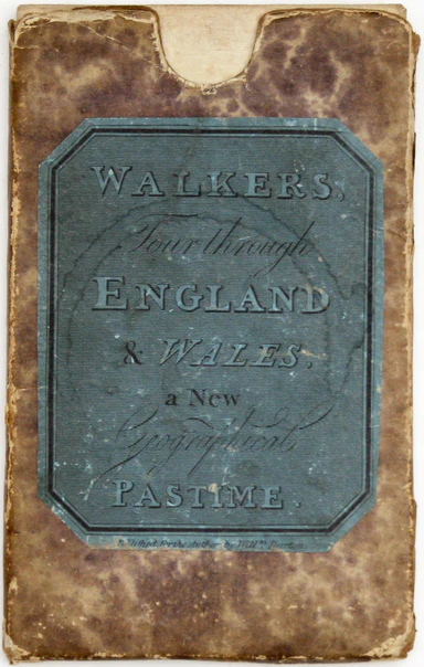
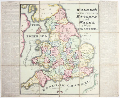
A New Geographical Pastime: Walker’s Tour through England and Wales Most games of this nature were educational, and in this case players learn as t...
View full details
A New Geographical Pastime The elder John Wallis (c. 1745-1818) recovered from bankruptcy to become one of the major publishers of children’s games...
View full details
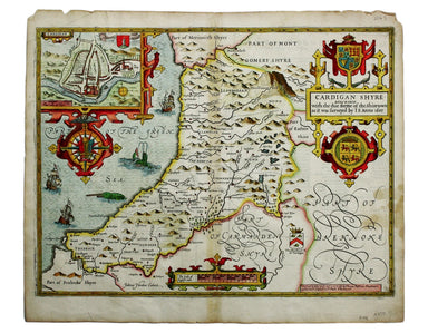
Cardigan Shyre described with the due forme of the Shiretown as it was surveyed by JS. Anno 1610 John Speed (1552-1629) is unquestionably the most ...
View full details
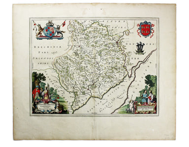
This map of Monmouthshire and the Severn Estuary is from ‘the rarest edition of Blaeu’s Large Atlases’: only ten of the proposed eleven volumes wer...
View full details
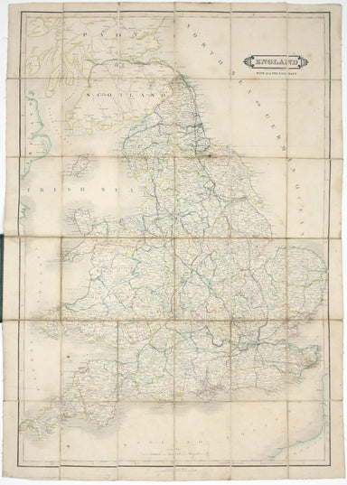
England, with all the railways… This edition of Lizars’ railway map was published c. 1845, featuring lines such as the Maryport & Carlisle Rail...
View full details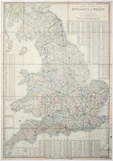
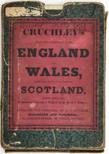
Cruchley’s Improved Geographical Companion throughout England & Wales including part of Scotland In this map of England and Wales, we have an i...
View full details
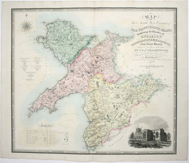
Map of the North West Circuit of the Principality of Wales, comprising the Counties of Anglesey, Caernarfon & Merioneth, from an Actual Survey…...
View full details
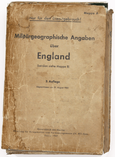
Mappe A […] Militärgeographische Angaben über England […] 3 Auflage, Abgeschlossen am 31 August 1941. Berlin: Generalstab des Heeres, Abteilung für...
View full details
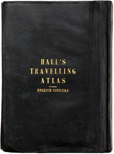
A Travelling County Atlas: With all the Coach and Rail Roads accurately laid down and coloured and carefully corrected to the present time. London:...
View full details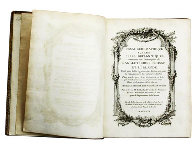
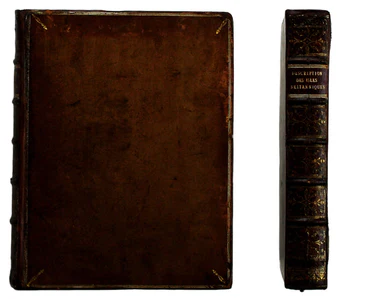
Jacques Nicolas Bellin the elder (1703-1772) was first chief hydrographic engineer of the "Dépôt des cartes, plans et journaux du Ministère de la M...
View full details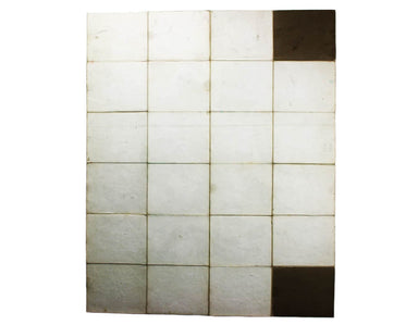
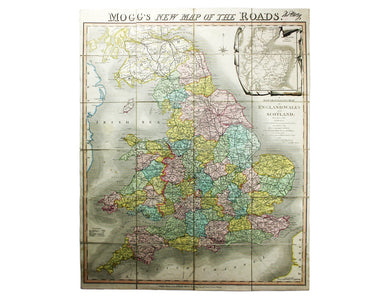
Mogg’s New Map of the Roads. A New Travelling Map of England, Wales and Scotland […] Condition & Materials Copper engraving, 77 x 63.5 cm, a ro...
View full details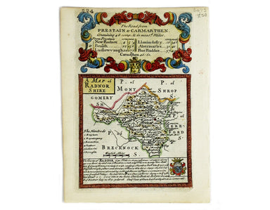
This map of Radnorshire was engraved by Emanuel Bowen for John Owen’s “Britannia Depicta”, a pocket road book derived from Ogilby’s innovative atla...
View full details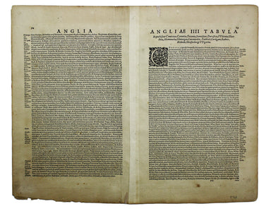
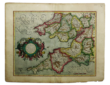
This is the southwestern sheet of Mercator’s five regional maps of England and Wales; Janssonius revised the decorative elements in the 1630s, but ...
View full details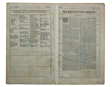
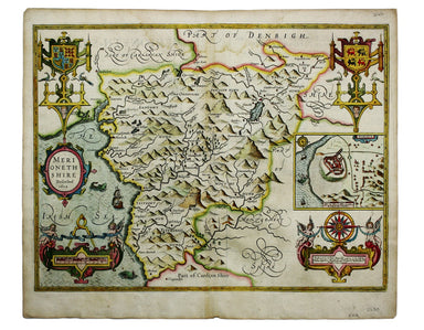
This map of Merionethshire includes an inset town-plan of Harlech. John Speed (1552-1629) is unquestionably the most significant English map-maker ...
View full details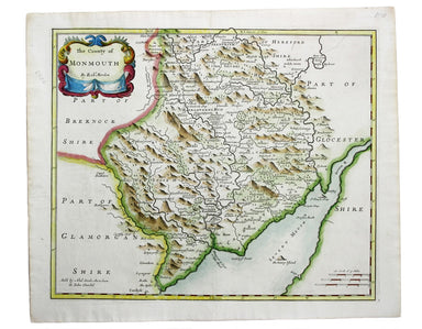
This map of Monmouthshire was engraved to accompany Gibson’s edition of Camden’s Britannia, first published in 1695. Condition & Materials Copp...
View full details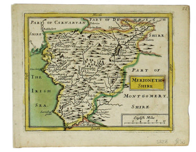
This map of Merionethshire was prepared for Anglia Contracta, Seller's miniature county atlas. Seller's atlases are notoriously difficult to date b...
View full details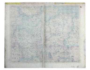
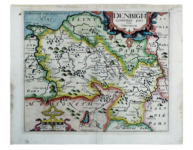
This map of Denbighshire was published in the second edition of Philemon Holland’s translation of Camden’s Britannia into English, the third printi...
View full details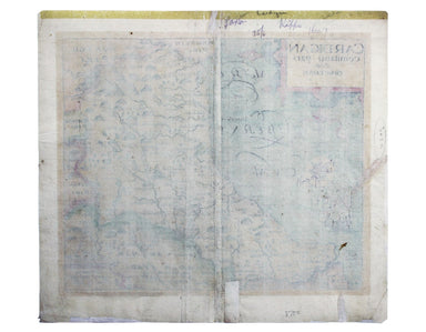
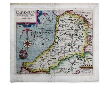
This map of Cardiganshire was published in the second edition of Philemon Holland’s translation of Camden’s Britannia into English, the third print...
View full details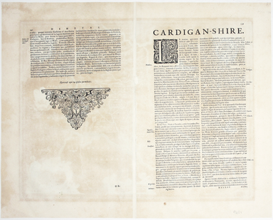
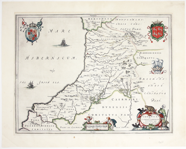
Ceretica sive Cardiganensis Comitatus; Anglis Cardigan Shire Blaeu and the rival Golden Age Dutch cartographic publishing house of Janssonius raced...
View full details
