Blaeu’s Map of Cardiganshire
SKU: 9401
Title:
Blaeu’s Map of Cardiganshire
Date of publication:
Printed Measurement:
Colour:
Mapmaker:
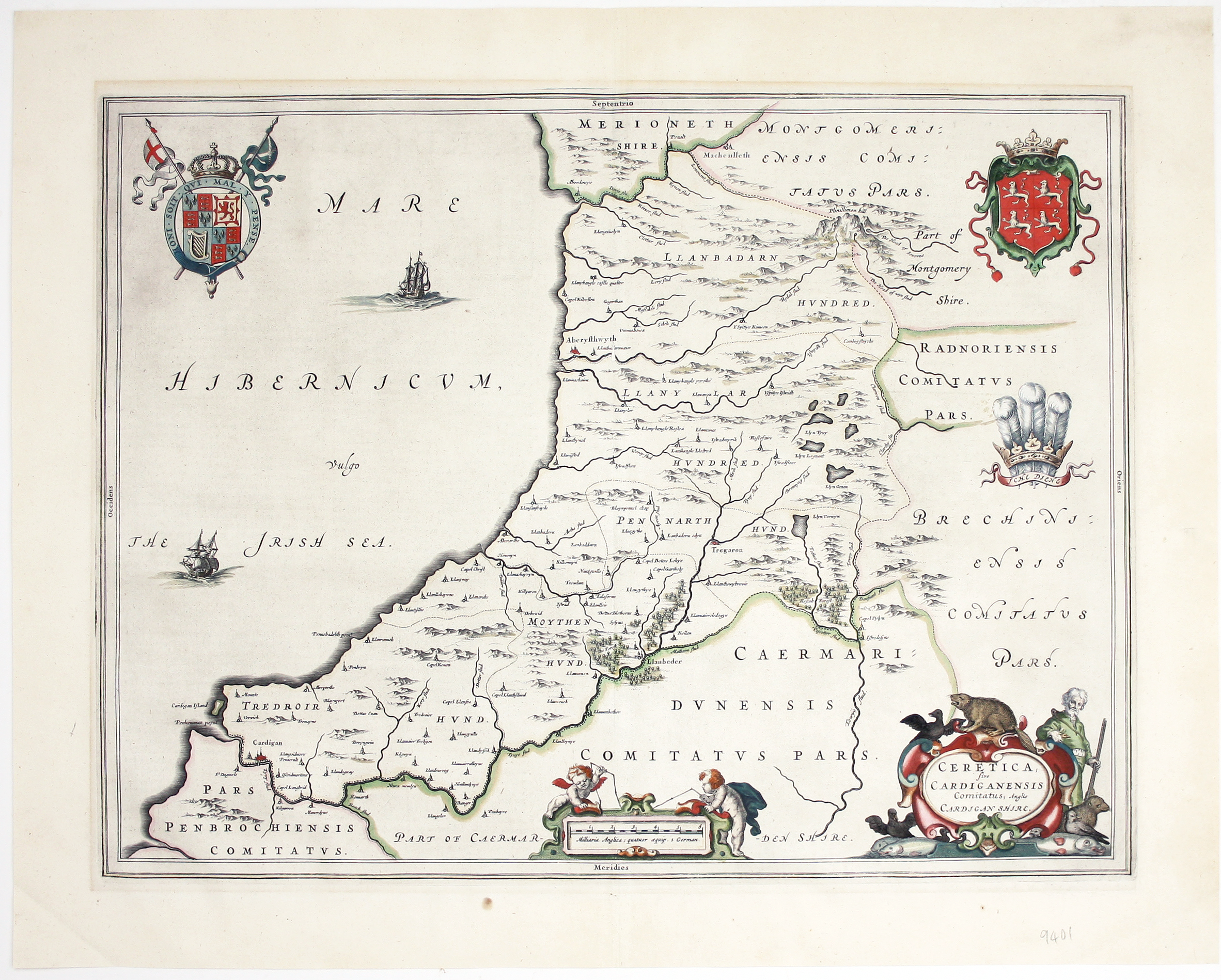
Ceretica sive Cardiganensis Comitatus; Anglis Cardigan Shire
Blaeu and the rival Golden Age Dutch cartographic publishing house of Janssonius raced to bring out atlases of the British Isles in the 1630s and early 1640s, to add to their expanding world atlases. The work of the two firms represents Dutch map-making of the highest quality at a time when the Low Countries were at the forefront of the international market. Read more
Both of these great map houses worked from Elizabethan and Jacobean surveys by Saxton, Speed and others, and based the accompanying text on Camden's Britannia. They retained distinctive features of English county cartography (such as the enclosures; distinguished local historical figures with their coats of arms; and decorative elements giving a flavour of the region, as on this map of Cardiganshire.
Blaeu issued the first editions of his British atlas, with Latin and French text, in 1645 and Dutch text the following year. It was never printed in English. The Blaeu Atlas was eventually extended to the eleven volume Atlas Major, widely considered to be the most magnificent work of its kind ever published, and issued in various editions between 1662 and the disastrous 1672 fire which destroyed most of the firm’s copper printing-plates and effectively put them out of business.
The Blaeu firm was official cartographer to the Dutch East India Company (VOC), and Blaeu globes were carried on all VOC vessels.
Condition & Materials
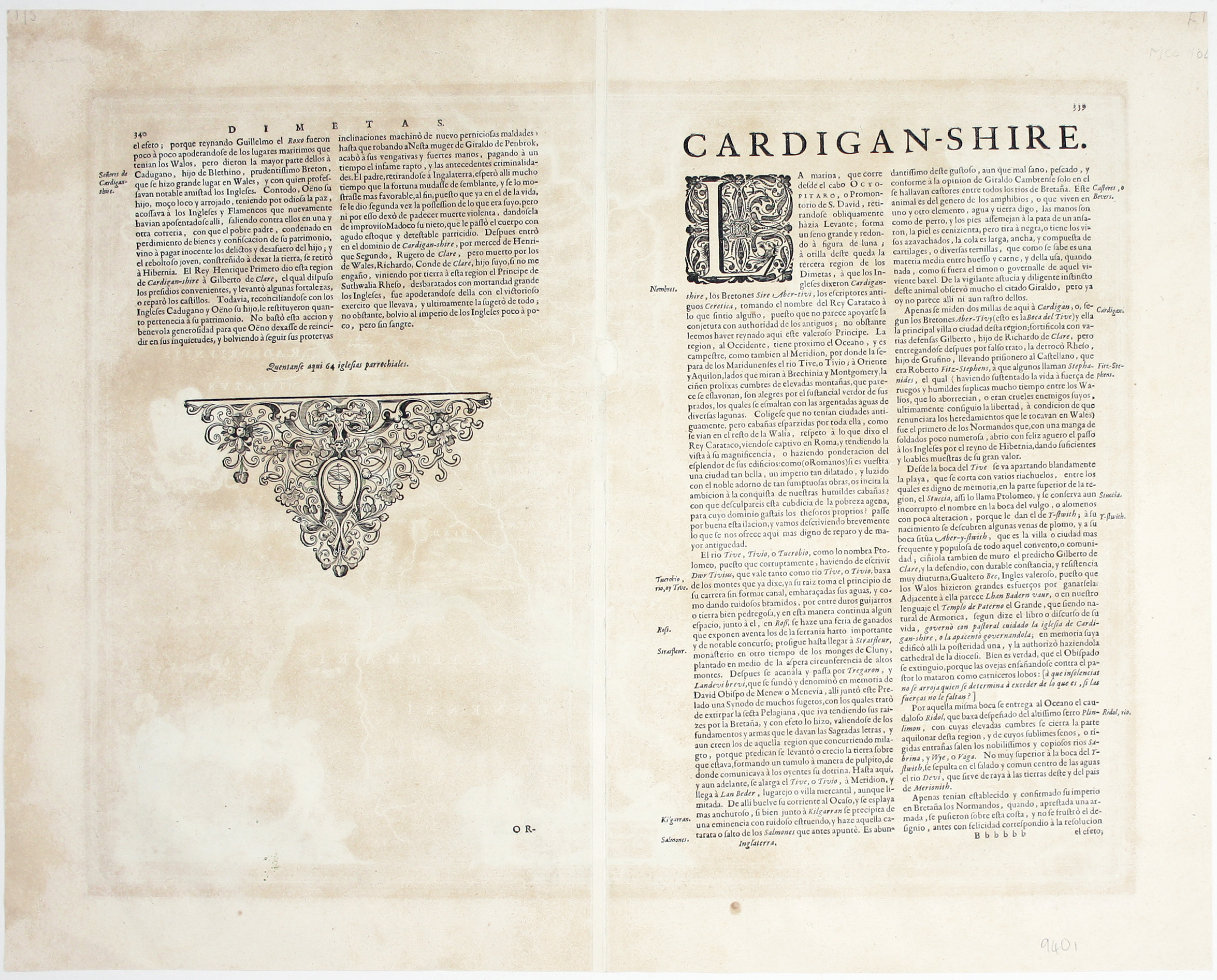
Copper engraving, 38.5 x 50.5 cm, original hand-colour, marginal toning where previously mounted, Spanish text on verso. Map of Cardiganshire from “the rarest edition of Blaeu’s Large Atlases”: only ten of the proposed eleven volumes were completed and issued in a limited quantity between 1658 and the the 1672 fire, which brought work on the final volume to a halt.
References
Koeman, Atlantes Neerlandici, Bl 60 A Read less


