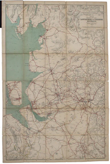
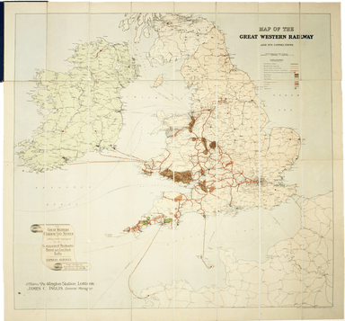
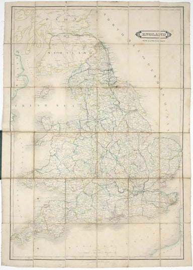
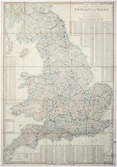
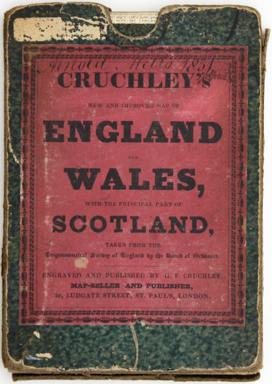
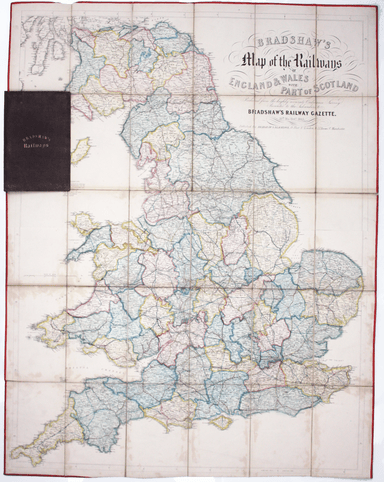
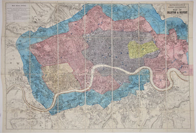
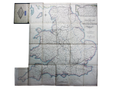
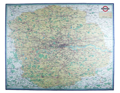
Railway Clearing House Map of Lancashire
The Railway Clearing House allocated revenue on occasions where one company’s train ran over another’s track, and promoted standardisation (of ever...
View full details
The Railway Clearing House allocated revenue on occasions where one company’s train ran over another’s track, and promoted standardisation (of ever...
View full details
This pictorial plan of central Oxford was printed for the recently nationalised British Railways (Western Region). The arms of the University and t...
View full details
Map of the Grand Junction Railway and its Adjacent Country. [Copied by permission from the Company’s official map.] Shewing all the the stations on...
View full details
Bradshaw’s Railway Companion, containing the times of departure, fares &c., of the railways in England, and also hackney coach fares from the p...
View full details
Map of the Great Western Railway and Connections This map illustrates how the Great Western Railway connected resources such as coal fields, china ...
View full details
This pictorial map grouping the three counties northeast of London was published by British Railways (Eastern Region) to promote leisure travel jus...
View full details
England, with all the railways… This edition of Lizars’ railway map was published c. 1845, featuring lines such as the Maryport & Carlisle Rail...
View full details
This District Railway map of Greater London shows the approximate extent from Epsom to Enfield and from Windsor to Grays, with inset of the Henley ...
View full details
Cruchley’s Improved Geographical Companion throughout England & Wales including part of Scotland In this map of England and Wales, we have an i...
View full details
Bradshaw’s map of the railways of England & Wales with part of Scotland, reduced from the highly accurate Ordnance Survey, presented to the sub...
View full details
Bradshaw’s Railway Manual, Shareholder’s Guide and Official Directory, 1914; containing the History and Financial Position of every Railway Company...
View full details
Bradshaw’s Railway Manual, Shareholder’s Guide and Official Directory for 1868. Containing the History and Financial Position of Every Company, Bri...
View full details
A Travelling County Atlas: With all the Coach and Rail Roads accurately laid down and coloured and carefully corrected to the present time. London:...
View full details
If thou art worn and hard beset with sorrows that thou wouldst forget… Go to the woods and hills; no tears dim the sweet look that nature wears. He...
View full details
Loosely inserted into this railway guide is a 1952 letter from Bradshaw’s, replying to an enquiry from Gordon C. Dickinson, a former owner of our c...
View full details
Metropolitan Goods Conference Map of Collection & Delivery Boundary This map is a variant of the London plan typically issued with Kelly’s Dire...
View full details
This is an LNER colliery map covering the midlands and north of England and Wales ('Collieries in Yorkshire, Nottinghamshire, Derbyshire, Lancashir...
View full details
Published in March 1935, this is a commercially available map showing the operating area of the recently formed London Passenger Transport Board, a...
View full details
Cheffins’s Map of the English & Scotch Railways Cheffins’s Map of the Railways in England & Scotland, accurately delineating all the lines ...
View full details
This map attempts full integration of bus and coach routes, tramways, the Underground and main-line railways, and is possibly the first issue showi...
View full details