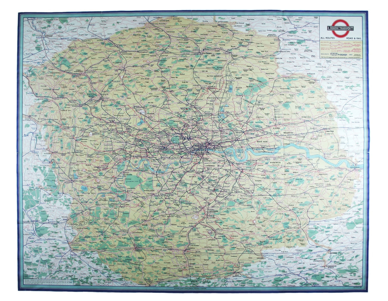
Map of the LPTB Operating Area
SKU: 8377
Title:
Map of the LPTB Operating Area
Date of publication:
Printed Measurement:
Publisher:
Colour:
Mapmaker:
This map attempts full integration of bus and coach routes, tramways, the Underground and main-line railways, and is possibly the first issue showing the whole operating area of the recently formed London Passenger Transport Board, already re-branded as London Transport.
Examples would have been posted at selected bus and Underground stations, enquiry offices and similar venues. The legend, bottom left, explains how the map has been distorted to allow for greater detail in the central area: the oval curves actually represent circles equidistant from Charing Cross. As well as public transport, prominence is given to relatively new form of private travel, by air. Read more
About a dozen areodromes, RAF and civil, had already sprung up within the LPTB area. Some, such as RAF Biggin Hill, would shortly find fame during the Battle of Britain. Others, such as the small commercial fields at Heathrow and Gatwick (and this must be one of the very first maps to show the latter) would become the huge international hubs we know today. At the time the map was made, Croydon boasted Britain’s major international airport.
Condition & Materials
Quad royal station wall map, 101 x 26 cm, printed in colours, trivial wear at fold intersections and short split along one fold, blank verso.
A Note on Shipping
Shipping rates are not available for this item. Select ‘pick up’ at checkout to collect it from the shop, or contact us for a custom quote. We will email you an invoice for the item price plus shipping, and you can complete the transaction securely online. Read less

