

Daily Telegraph Underground Railway and Tramway Map of London
The Daily Telegraph was one of a number of newspapers to sponsor London underground maps, like our example from 1919 which also includes the tramwa...
View full details

The Daily Telegraph was one of a number of newspapers to sponsor London underground maps, like our example from 1919 which also includes the tramwa...
View full details

Beck’s 1938 passenger map features on its reverse an enlargement of the central London area with interchange stations named inside large diamonds. ...
View full details

Underground map of London with some motor bus connections, September 1916 issue. The London General Omnibus Company was by this point owned by the ...
View full details

The May 1925 issue of Stingemore’s passenger map shows Wembley Exhibition Grounds, and its covers advertise the number of escalators and other amen...
View full details
The Central London Railway pioneered giving maps like this one to passengers free of charge, something which we now take for granted but which only...
View full details

This issue of Beck’s 1934 map saw a slight increase in size of the card folder given away to passengers. Beck’s diagram is one of the most innovat...
View full details

Our map of the London underground is the second edition in a series designed by Fred Stingemore, issued free to passengers from May 1925 onwards an...
View full details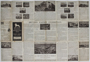
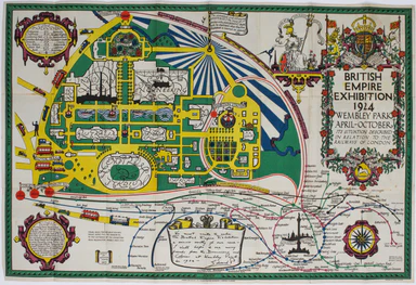
The British Empire Exhibition was, at the time, the largest exhibition staged anywhere in the world; a high profile, postwar statement of confidenc...
View full details
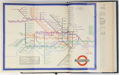
A first edition of the famous diagram from January 1933 Beck’s diagram is one of the most innovative and influential designs of the twentieth centu...
View full details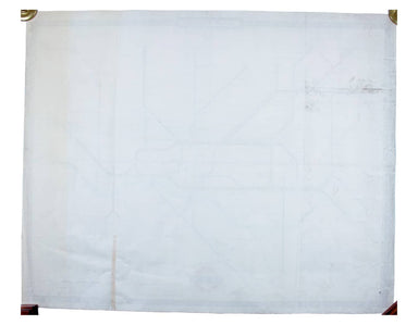
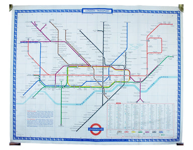
Garbutt believed he had ‘rescued’ the London Underground map from the clutches of Harold Hutchison and his ‘ham-fisted parody’ of Beck’s designs ...
View full details
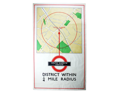
District within ¼ mile radius [of] South Harrow Stanford’s was a firm of map publishers as well as map retailers until after the Second World War, ...
View full details
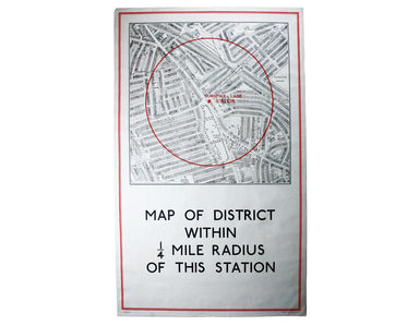
District within ¼ mile radius [of] Turnpike Lane Stanford’s was a firm of map publishers as well as map retailers until after the Second World War,...
View full details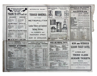
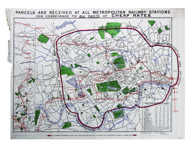
Map with lines showing the boundary for free collection and delivery of parcels and passengers’ luggage The main map shows central London, includin...
View full details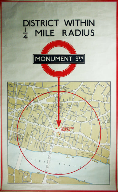
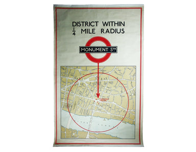
District within ¼ mile radius [of] Monument Stanford’s was a firm of map publishers as well as map retailers until after the Second World War, with...
View full details
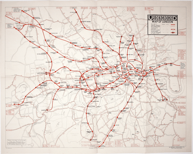
The map shows bus, tram and train services operated by the Underground Group and is very similar to the pocket map issued in guidebooks c.1924 (ill...
View full details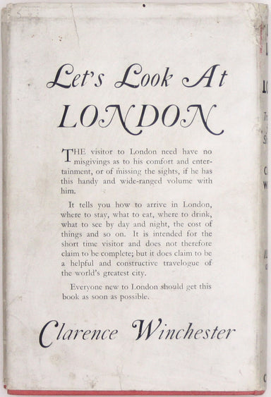
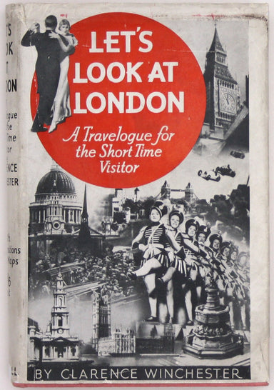
Beck’s diagram is possibly one of the most innovative and influential designs of the 20th century. First published in 1933, Beck remained directly ...
View full details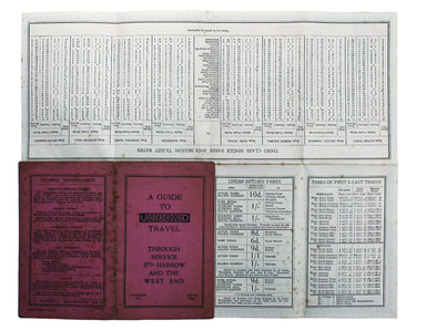
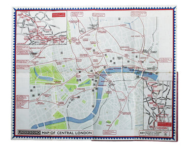
Underground Map of Central London/A Guide to Underground Travel, Through Service Sth. Harrow and the West End Leboff and Demuth draw attention to t...
View full details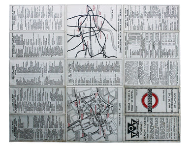
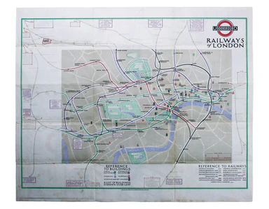
Underground Railways of London/What to see and how to travel: Map of the Electric Railways of London The continuation of lines in the margins is no...
View full details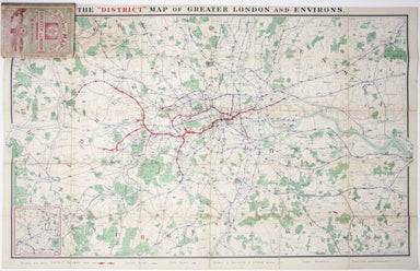
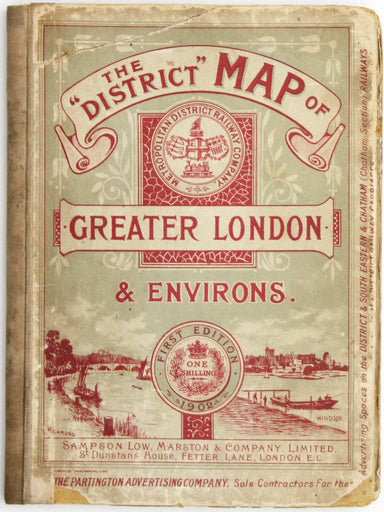
This District Railway map of Greater London shows the approximate extent from Epsom to Enfield and from Windsor to Grays, with inset of the Henley ...
View full details
Un-titled, undated and without a printer, this exceptionally scarce early poster was created for display in stations, but establishing which ones p...
View full details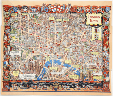
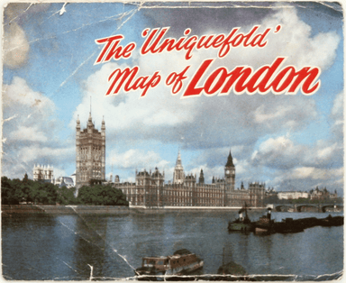
This pictorial map of London employs an unusual form of Turkish fold which makes use of inclined folding lines. The map is a simplified pocket vers...
View full details
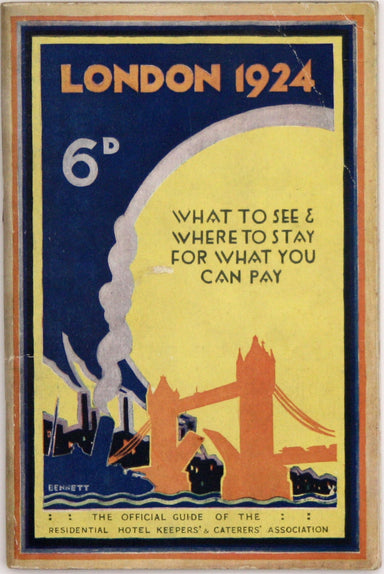
MacDonald Gill, brother of Eric, was a successful commercial artist in his own right, and a noted calligrapher who designed the font used on all he...
View full details
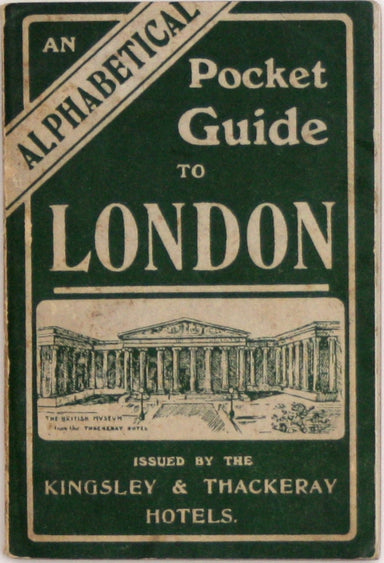
This iteration of the UERL common design marks George Philip & Son’s first official map for the Underground Group; the firm had designed the fi...
View full details
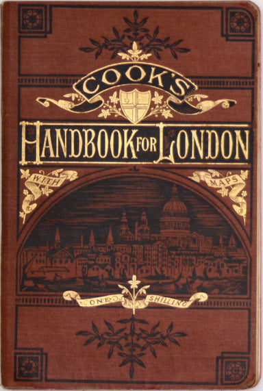
The earliest versions of this map advertised the Franco-British Exhibition which closed at the end of October 1908, marked here as ‘Exhibition’. In...
View full details

Our map shows bus, tram and train services operated by the Underground Group and is very similar to the pocket map issued in guidebooks c. 1924. T...
View full details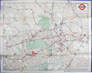
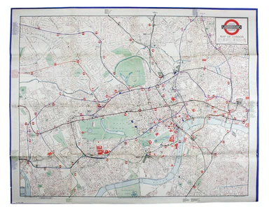
The first edition of this map was printed in 1932 but the introduction of Beck's diagram in 1933 did not obviate the need for geographically accura...
View full details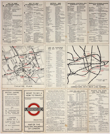
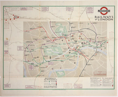
Underground Railways of London What to see and how to travel: Map of the Electric Railways of London Condition & Materials Summer 1925 issue of...
View full details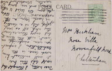
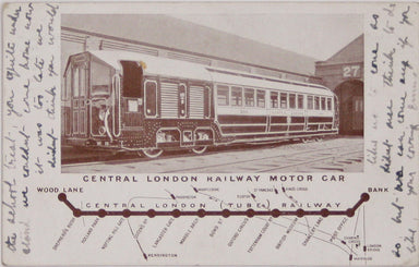
The Central London Railway produced a considerable quantity of advertising material in the Edwardian period. Other postcards included views of Lots...
View full details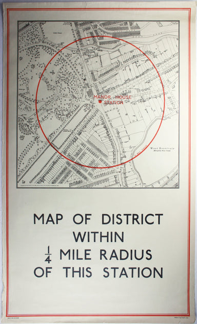
District within ¼ mile radius [of] Manor House Stanford’s was a firm of map publishers as well as map retailers until after the Second World War, w...
View full details
Garbutt believed he had ‘rescued’ the London Underground map from the clutches of Harold Hutchison and his ‘ham-fisted parody’ of Beck’s designs. H...
View full details
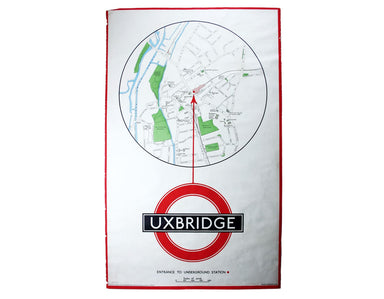
District within ¼ mile radius [of] Uxbridge Stanford’s was a firm of map publishers as well as map retailers until after the Second World War, with...
View full details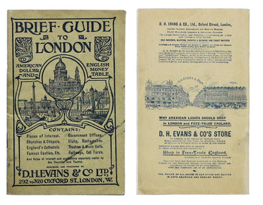
The guide seems to have been aimed at an American audience, with several pages devoted to converting prices in pounds, shillings and pence into dol...
View full details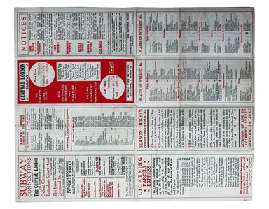
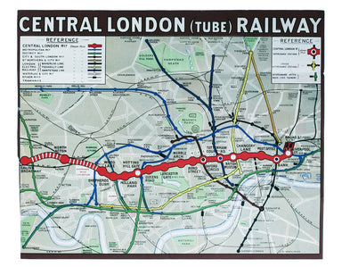
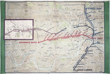
This Central London Railway map is similar in style to the UERL common design which had been in circulation since 1908, although with a chocolate r...
View full details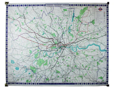
Benjamin Getzel Lewis' map of the London underground shows the Victoria Line under construction in the originally proposed colour Lewis (1900-1966)...
View full details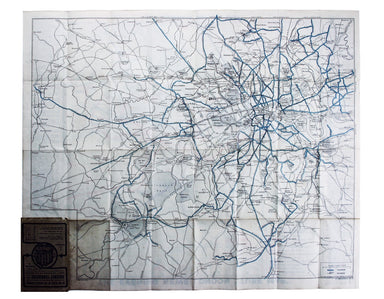
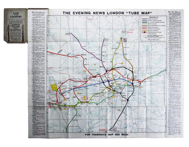
The Evening News was responsible for coining the name ‘Bakerloo Line’ for the Baker Street and Waterloo Railway, and here the newspaper makes a rel...
View full details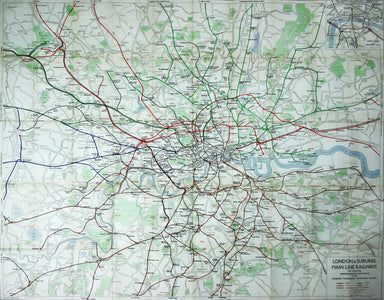
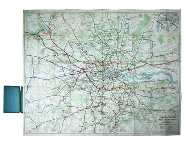
Published in March 1935, this is a commercially available map showing the operating area of the recently formed London Passenger Transport Board, a...
View full details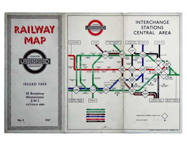
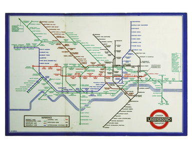
Beck’s diagram is possibly one of the most innovative and influential designs of the twentieth century. First published in 1933, Beck remained dire...
View full details
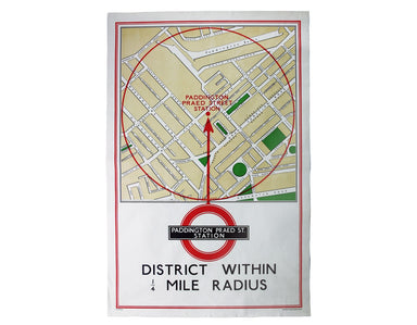
District within ¼ mile radius [of] Paddington Praed Street Stanford’s was a firm of map publishers as well as map retailers until after the Second ...
View full details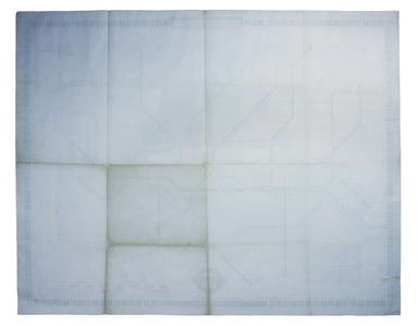
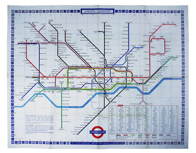
Garbutt believed he had ‘rescued’ the London Underground map from the clutches of Harold Hutchison and his ‘ham-fisted parody’ of Beck’s designs. H...
View full details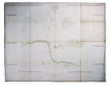
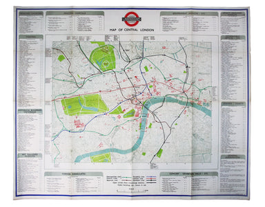
The introduction of Beck's diagram did not obviate the need for geographically accurate maps, which pinpointed the location of Underground stations...
View full details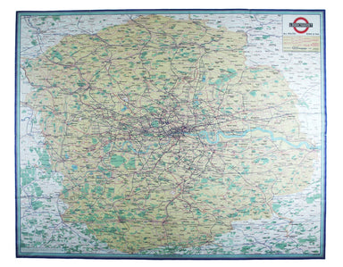
This map attempts full integration of bus and coach routes, tramways, the Underground and main-line railways, and is possibly the first issue showi...
View full details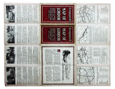
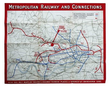
In 1933 the Met became part of the LPTB. Here though, the Tube and other railways fade into the background. The emphasis is on work/life balance, c...
View full details
