UERL 1912 Common Design Passenger Map
SKU: 9233
Title:
UERL 1912 Common Design Passenger Map
Date of publication:
Printed Measurement:
Publisher:
Colour:
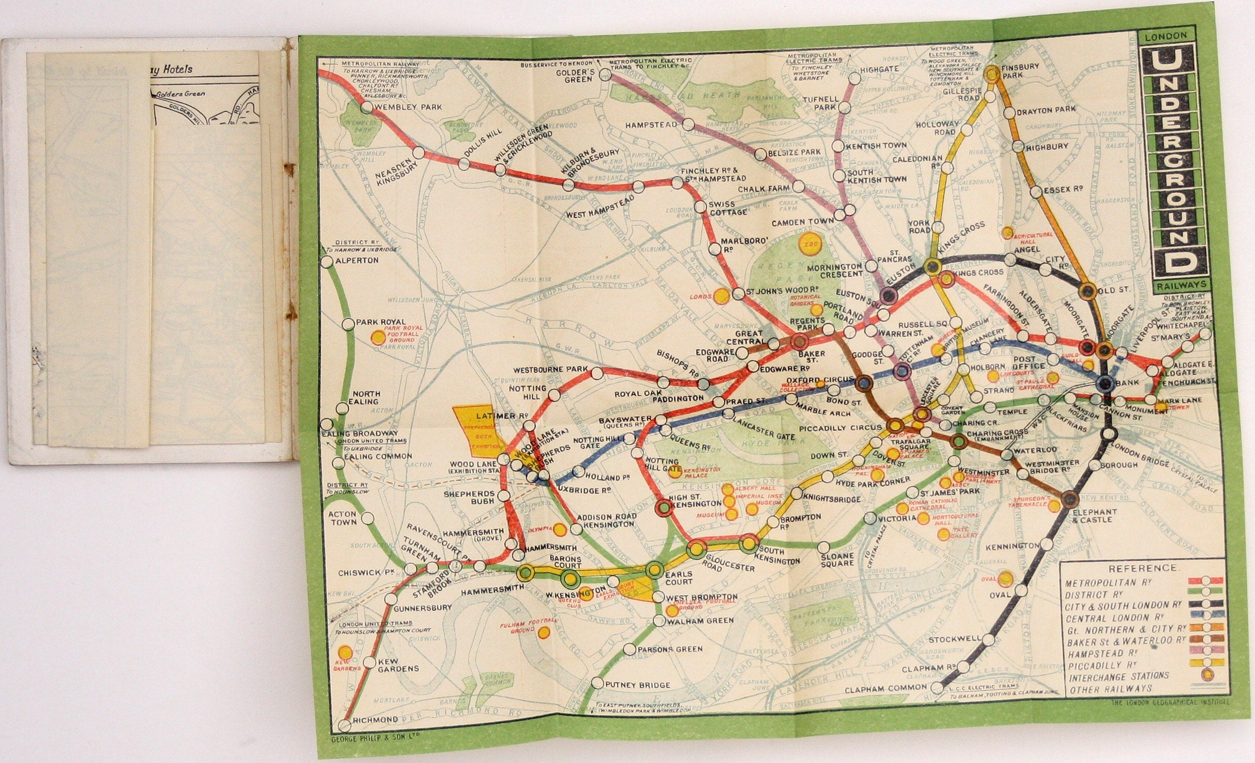
This iteration of the UERL common design marks George Philip & Son’s first official map for the Underground Group; the firm had designed the first colour coded Tube map with equal weighting of lines for the Evening News in 1907. The vertical Underground logo was more commonly seen displayed outside stations than on maps.
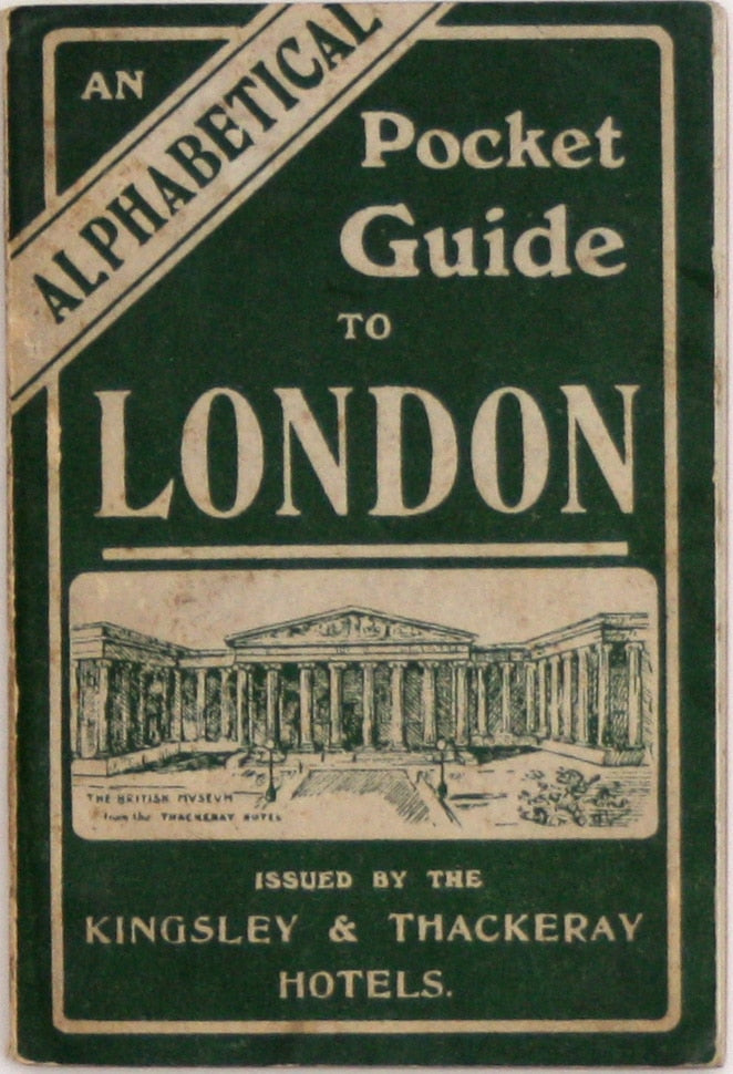
This example is tipped in at the end of ‘An alphabetical pocket guide to London, issued by the Kingsley & Thackeray Hotels’, temperance hotels located near the British Museum. It is a small (12 x 8 cm) 91 page publication with some black and white photographic illustrations, a guide to bus services and a folding sketch map of central London, listing the (alcohol free) delights of the capital from the Royal Academy to London Zoo. Read more
For much of the 20th Century, London Transport and its predecessors seem to have been happy to distribute quantities of the official map at no charge (or a minimal one?) to commercial publishers to be bound into guide books. Presumably it was seen as free advertising. Some were the standard issue with text on the verso, as distributed to passengers; some were the normal issue but supplied flat, and folded differently to fit the format of the book; some, as here, were special guide book issues, supplied with a blank verso. Many have been removed from their original context over time, and it is interesting to note that it was not just major publishers such as Ward Lock who were able to obtain supplies of maps.
Condition & Materials
Six panel passenger map tipped into a contemporary guide book, 20.3 x 27 cm, printed in colours, blank verso.
References
Dodd, Maps of London’s Transport, p. 52; Leboff & Demuth, No Need to Ask, p. 58. Read less


