£1,500.00
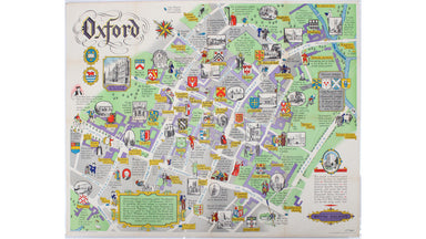
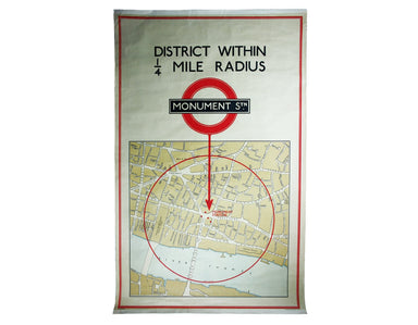
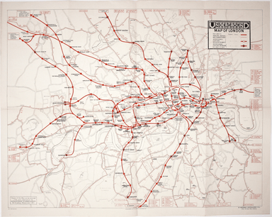
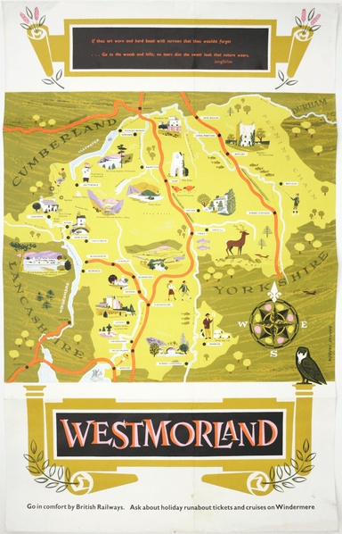
Sayer's Pictorial Map of Oxford
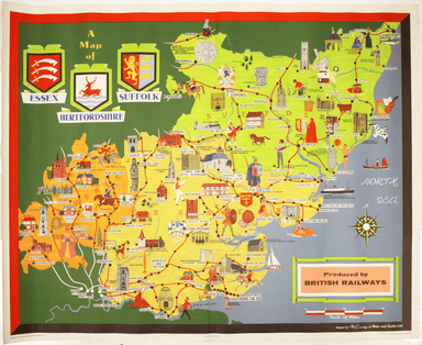
This pictorial plan of central Oxford was printed for the recently nationalised British Railways (Western Region). The arms of the University and t...
View full details