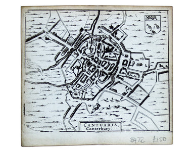
Hermannides’ Plan of Canterbury
This map of Canterbury is from Hermannides' Magna Britannia. Nearly all of the plans are based on the small inset plans shown on John Speed's count...
View full details

This map of Canterbury is from Hermannides' Magna Britannia. Nearly all of the plans are based on the small inset plans shown on John Speed's count...
View full details
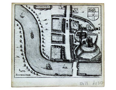
This map of Rochester is from Hermannides' Magna Britannia. Nearly all of the plans are based on the small inset plans shown on John Speed's county...
View full details
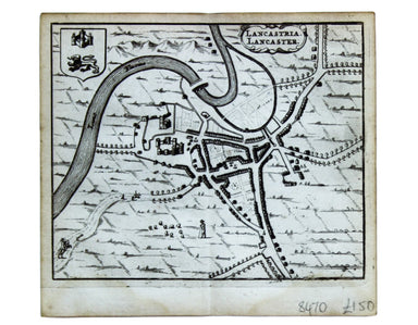
This map of Lancaster is from Hermannides' Magna Britannia. Nearly all of the plans are based on the small inset plans shown on John Speed's county...
View full details
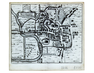
This map of Gloucester is from Hermannides' Magna Britannia. Nearly all of the plans are based on the small inset plans shown on John Speed's count...
View full details
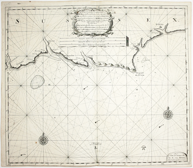
A new gradually encreasing Compass-Map of part of the Sea Coasts of England, in which is contained the Coasts of Sussex, extending from Eastwards o...
View full details
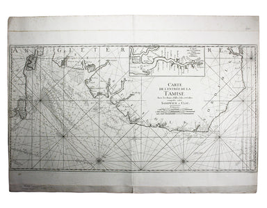
Carte de l’entrée de la Tamise, avec les Bancs, Passes, Isles et Costes comprises entre Sandwich et Clay This is a revised version of a chart which...
View full details
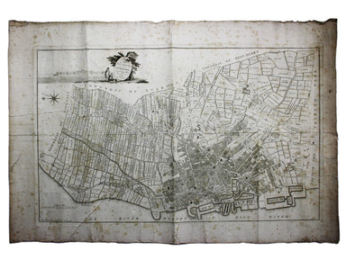
A Plan of the Town and Township of Liverpool, from an actual survey taken in the year 1785 by C. Eyes This map of Liverpool was surveyed and publis...
View full details

[Title-page] Anglorum Indoles Studia et Actiones In attempting to define the character of the English there is a strong emphasis on trade and disco...
View full details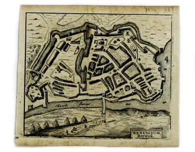
This map of Berwick-upon-Tweed is from Hermannides' Magna Britannia. Nearly all of the plans are based on the small inset plans shown on John Speed...
View full details
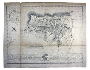
“To the Right Honourable Anthony, Ashley Cooper, Earl of Shaftesbury; Baron Ashley of Winborne St. Giles; Baron Cooper of Powlett in the County of ...
View full details
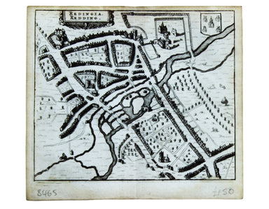
This map of Reading is from Hermannides' Magna Britannia. Nearly all of the plans are based on the small inset plans shown on John Speed's county m...
View full details
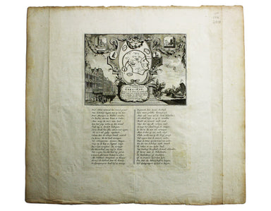
Afbeeldinge van’t zeer vermaarde Eiland Geks-Kop This Dutch ‘fool’s cap’ map satirises the bursting of the financial bubbles of 1720. Cartographic ...
View full details
