

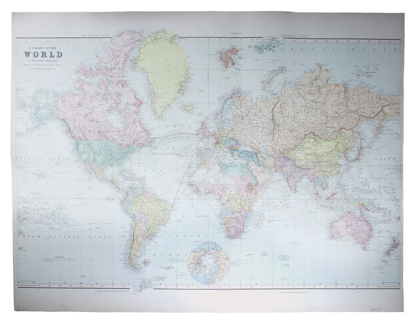

Stanford’s World Map on Mercator’s Projection
SKU: 8963
Title:
Stanford’s World Map on Mercator’s Projection
Date of publication:
Printed Measurement:
Colour:
Mapmaker:
Chart of the World on Mercator’s Projection, shewing the principal Ocean Steam Routes, the Submarine Telegraph &c
This world map was published in the second trade edition of Stanford’s London Atlas. Read more
Edward Stanford (senior) acquired Arrowmsith's stock in 1874. His own version of the London Atlas, first published in 1887 and dedicated to Queen Victoria in the year of her Golden Jubilee, is considered to be his last significant work before his retirement.
Later editions were revised in keeping with the latest information, for example showing the rapid European colonisation of Africa after the Berlin Conference. British possessions are coloured red.
Condition & Materials
Two lithographic map sheets joined, total sheet size 74 x 96 cm, map approx 62 x 94 cm with extensions across the neatline (Greenland, Antarctica etc), printed in colours, narrow left and right hand margins, blank verso. Read less