

Visscher’s Map of the Holy Land
SKU: 8208
Title:
Visscher’s Map of the Holy Land
Date of publication:
Printed Measurement:
Colour:
Mapmaker:
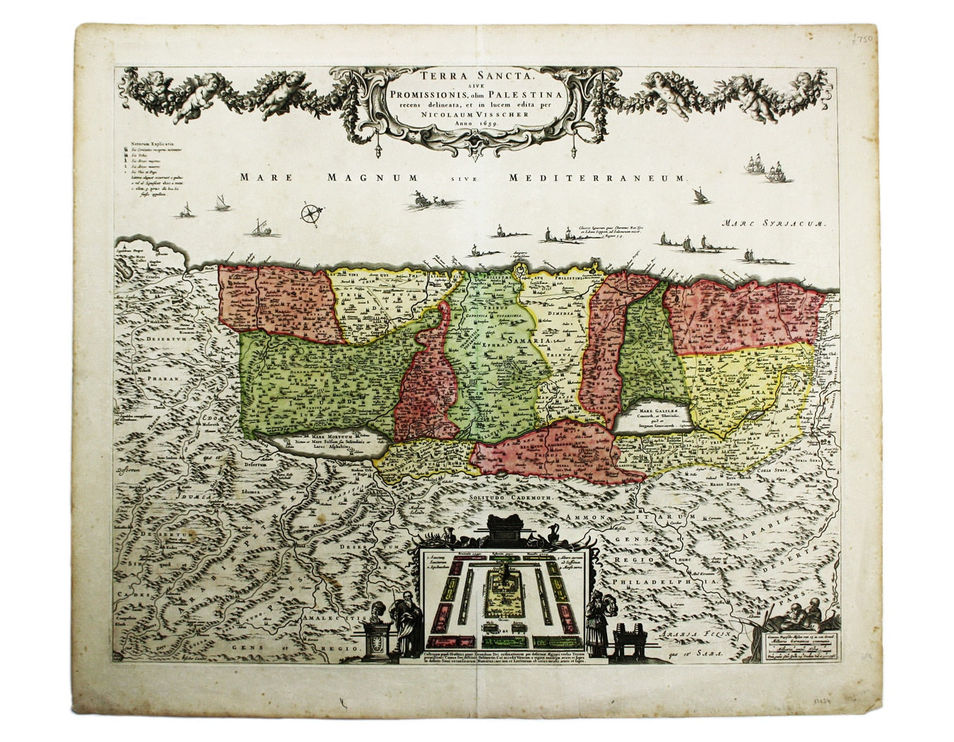
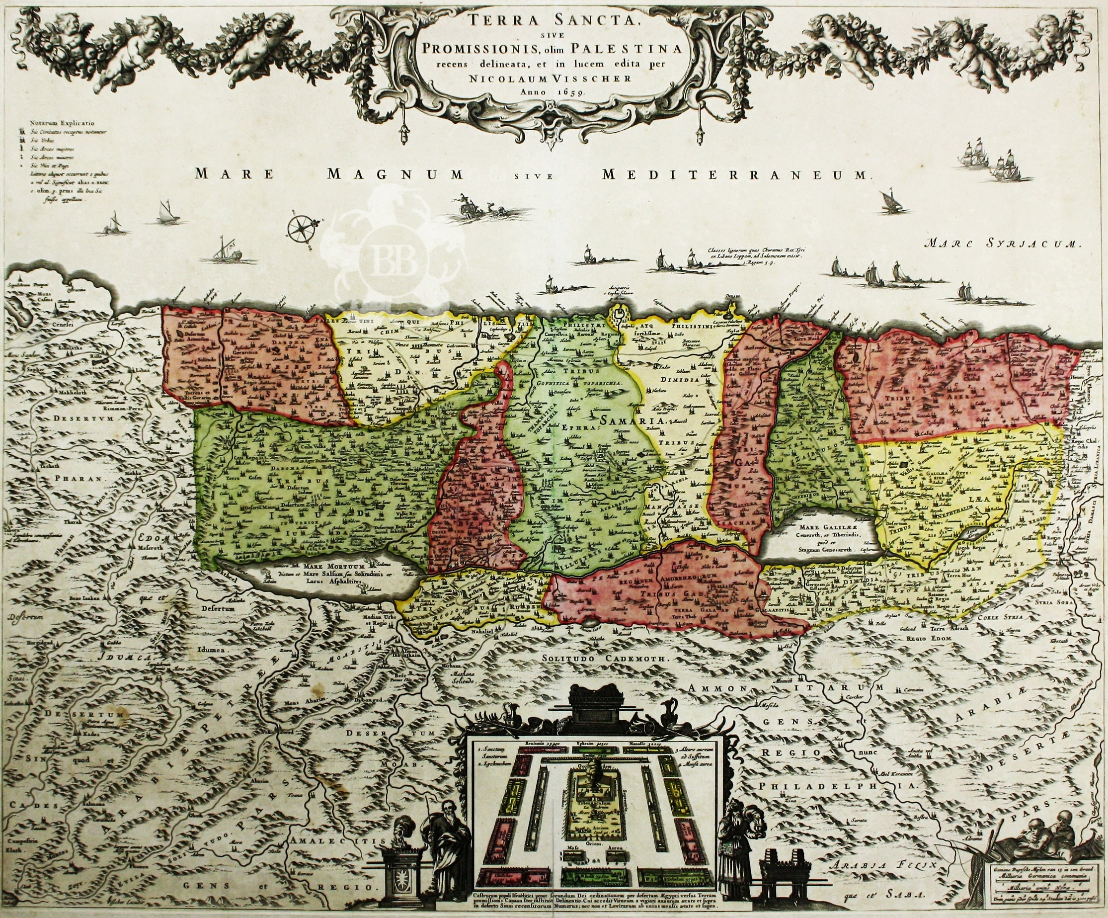
Terra Sancta, sive Promissionis, olim Palestina recens delineata, et in lucem edita per Nicolaum Visscher…
Visscher’s influential map of the Holy Land is oriented to the West and divided among the Tribes on both sides of the Jordan. Read more
In the foreground Visscher depicts the encampment of the Tribes of Israel in the desert with the Tabernacle at their centre, flanked the figures of Moses and Aaron.
The map was published by Visscher and his heirs for some years, and was the model for many subsequent maps of the region, by De Wit, Danckerts and others.
Condition & Materials
Copper engraving, 46.5 x 57 cm, original hand colour, blank verso.
References
Laor, Maps of the Holy Land, 793 Read less