

Stoopendaal’s New Testament Map of the Holy Land
SKU: 9097
Title:
Stoopendaal’s New Testament Map of the Holy Land
Date of publication:
Printed Measurement:
Colour:
Mapmaker:
Engraver:
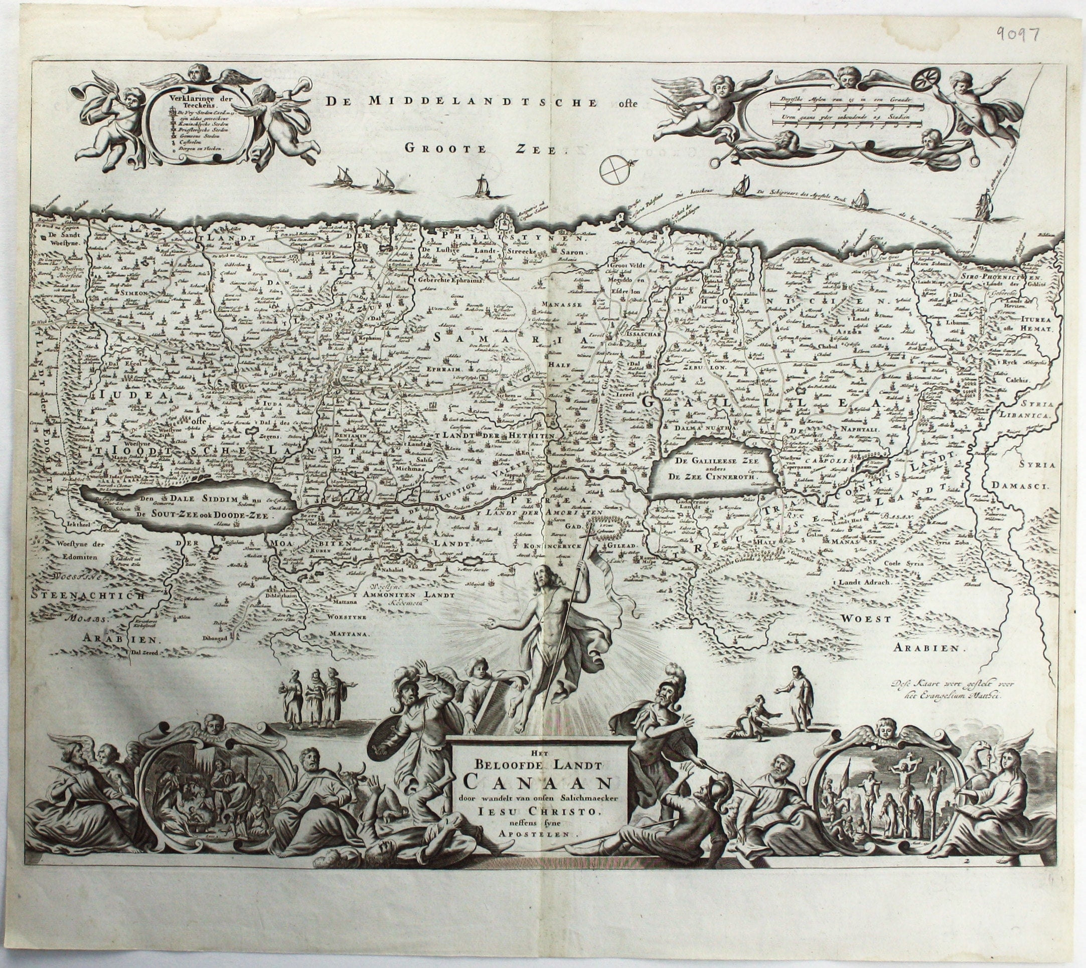
Het Beloofde Landt Canaan door wandelt van onfen Salichmaeker Iesu Christo, nessens syne Apostelen
Oriented to the west, this map of the Holy Land was engraved by the Visscher family in the mid 17th century and illustrated a series of Dutch Bibles. Read more
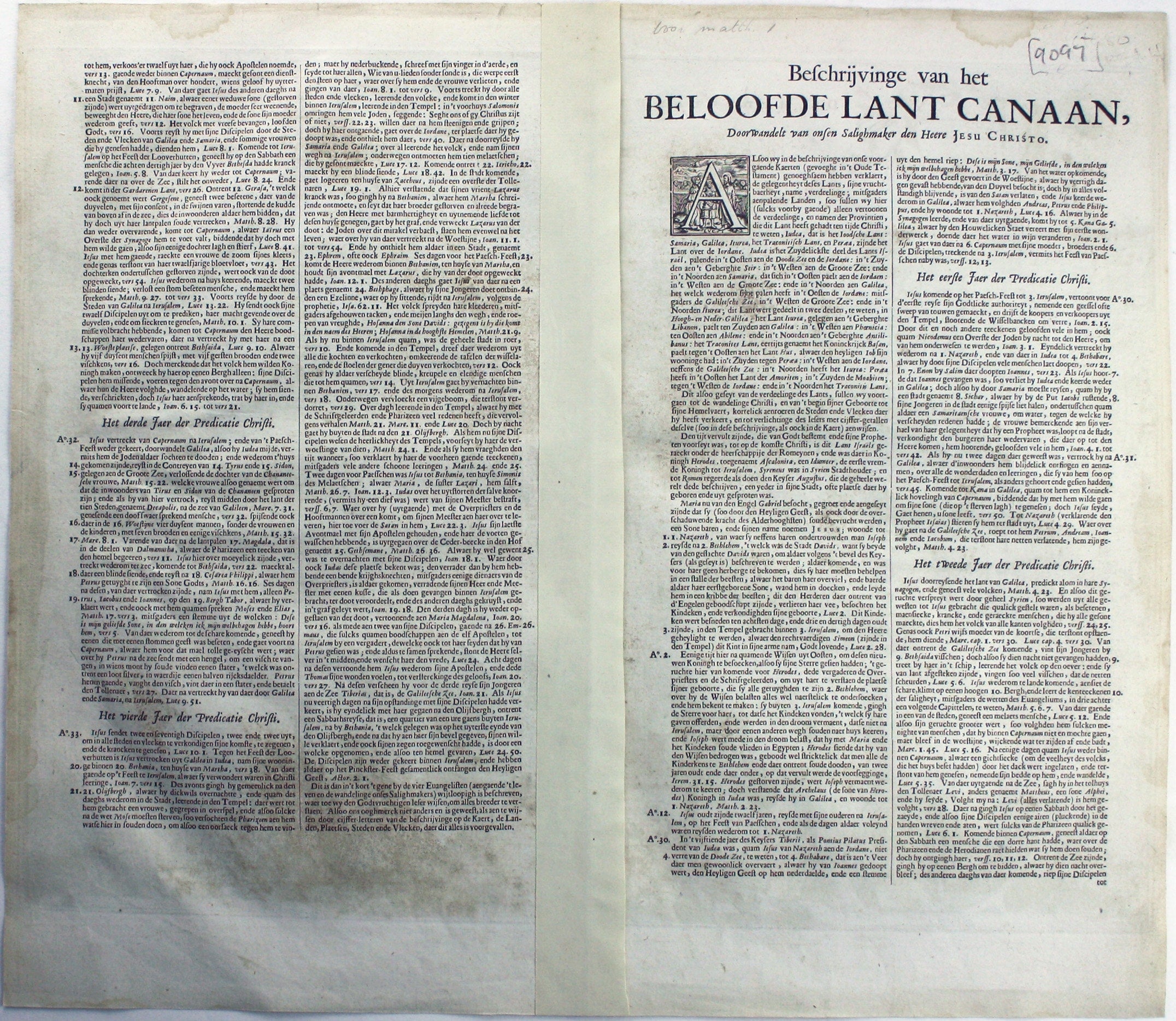
The setting of the text on the verso corresponds with that given by Laor for the 1702 edition. At the foot of the map are scenes from the life of Jesus, flanked by seated figures of the four Gospel writers.
Condition & Materials
Copper engraving, 35.5 x 46.5 cm, black and white, light waterstaining in upper margin, Dutch text on the verso.
References
Laor, Maps of the Holy Land, 809. Read less