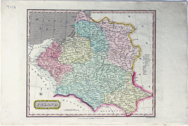
Wallis’ Map of Poland
This map of Poland was published in ‘Oddy’s New General Atlas of the World’. It is coloured according to the third partition of 1795, by which the ...
View full details

This map of Poland was published in ‘Oddy’s New General Atlas of the World’. It is coloured according to the third partition of 1795, by which the ...
View full details
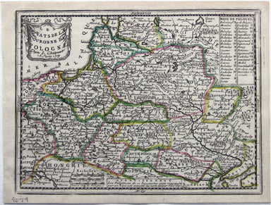
Les estats de la Couronne de Pologne This map of the Crown of the Kingdom of Poland was published in Chiquet’s ‘Le nouveau et curieux atlas géograp...
View full details
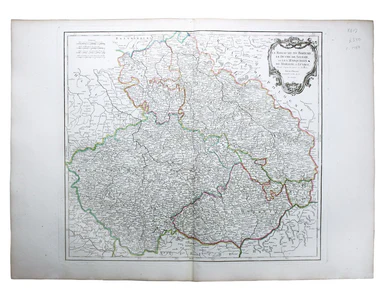
Le Royaume de Boheme, le Duche de Silesie, et les Marquisats de Moravie et Lusace, dressés d’apres les cartes de Muller The second state of Robert ...
View full details

Le Royaume de Hongrie, Principaute de Transilvanie, Sclavonie, Croatie, et partie de la Principaute de Valaquie, de la Bosnie, de la Servie et de l...
View full details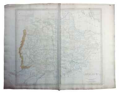
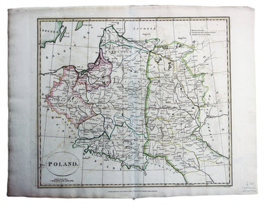
This map of Poland was engraved by Samuel John Neele for the atlas volume to ‘Cruttwell’s Gazeteer’, published by G & JJ Robinson. Condition &a...
View full details
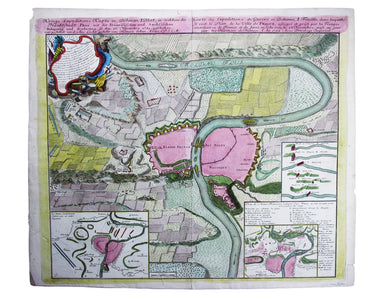
Kreigs Expeditions Karte in Bohmen I Blat, in welchern die Haubstadt Prag mit der Franzofsischen und Saechsischen Belegerug und Eroberung, so den 2...
View full details
