Bryars & Bryars
Admiralty Chart of Oman
Admiralty Chart of Oman
Couldn't load pickup availability
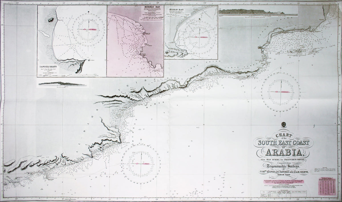
Chart of the South East Coast of Arabia from Ras Sukra to Palinurus Shoal, compiled from trigonometric Surveys
First published in 1860 with corrections to 1924, this chart covers the coast from Palimurus Shoal in Yemen to the Khorya Morya islands and Ras Sukra in Oman.
The map shows sands and soundings, lighthouses and beacons etc; and includes reference notes on tides. There are also inset maps of Bander Reisut, Merbat Bay and Kishin Bay, and two coastal profiles.
A controversial figure, Haines made his name surveying the Persian Gulf and became the first British administrator of Aden.
Condition & Materials
Engraved chart of Oman, 112 x 68 cm, engraved by John and Charles Walker, black and white (key information highlighted in pink wash), vertical and horizontal folds, some light marginal soiling and one or two short nicks and tears.
Share