Bryars & Bryars
Bertius’ Map of the British Isles
Bertius’ Map of the British Isles
Couldn't load pickup availability
This map of the British Isles with west at the top was published in the French text edition of Tabularum geographicarum contractarum libri, a geographical work which is normally catalogued under the name of its author, Pieter Bert or Bertius.
The maps are generally reduced from the cartography in the folio Mercator-Hondius atlas, and were mostly engraved by Jodocus Hondius, eldest son of the printer, who also bears the same name – although Shirley suggests the British maps may have been engraved by Salomon Rogiers. Geoffrey King calls them "undoubtedly the finest set of miniature maps ever printed.".
Condition & Materials
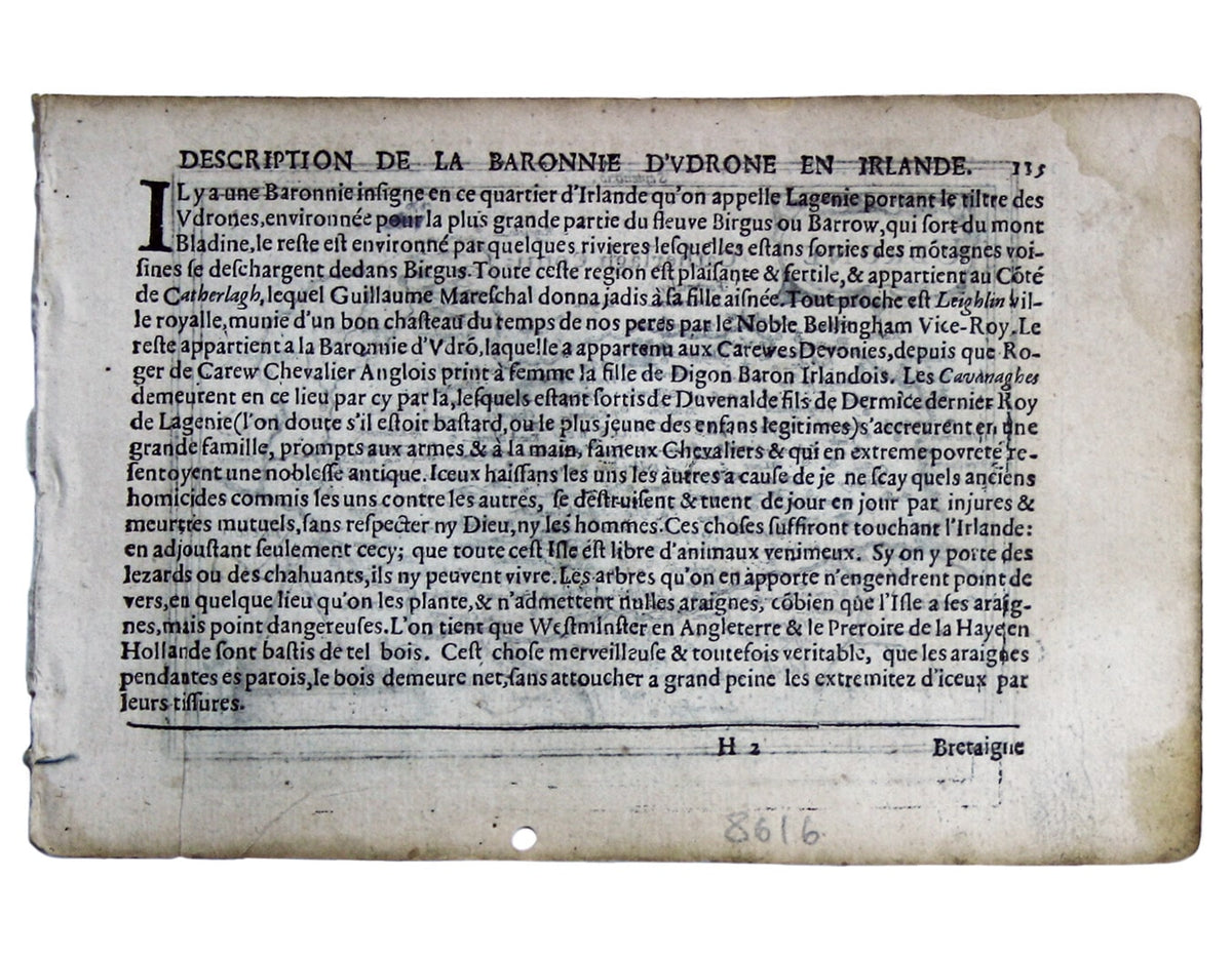
Copper engraving, 9.6 x 13.6 cm, black and white, light marginal waterstaining and worm hole in lower margin, French text on verso.
References
King, Miniature Antique Maps p. 96)
Koeman, Atlantes Neerlandici, Lan 13B
Shirley, Early Printed Maps of the British Isles, 348
Share