Bryars & Bryars
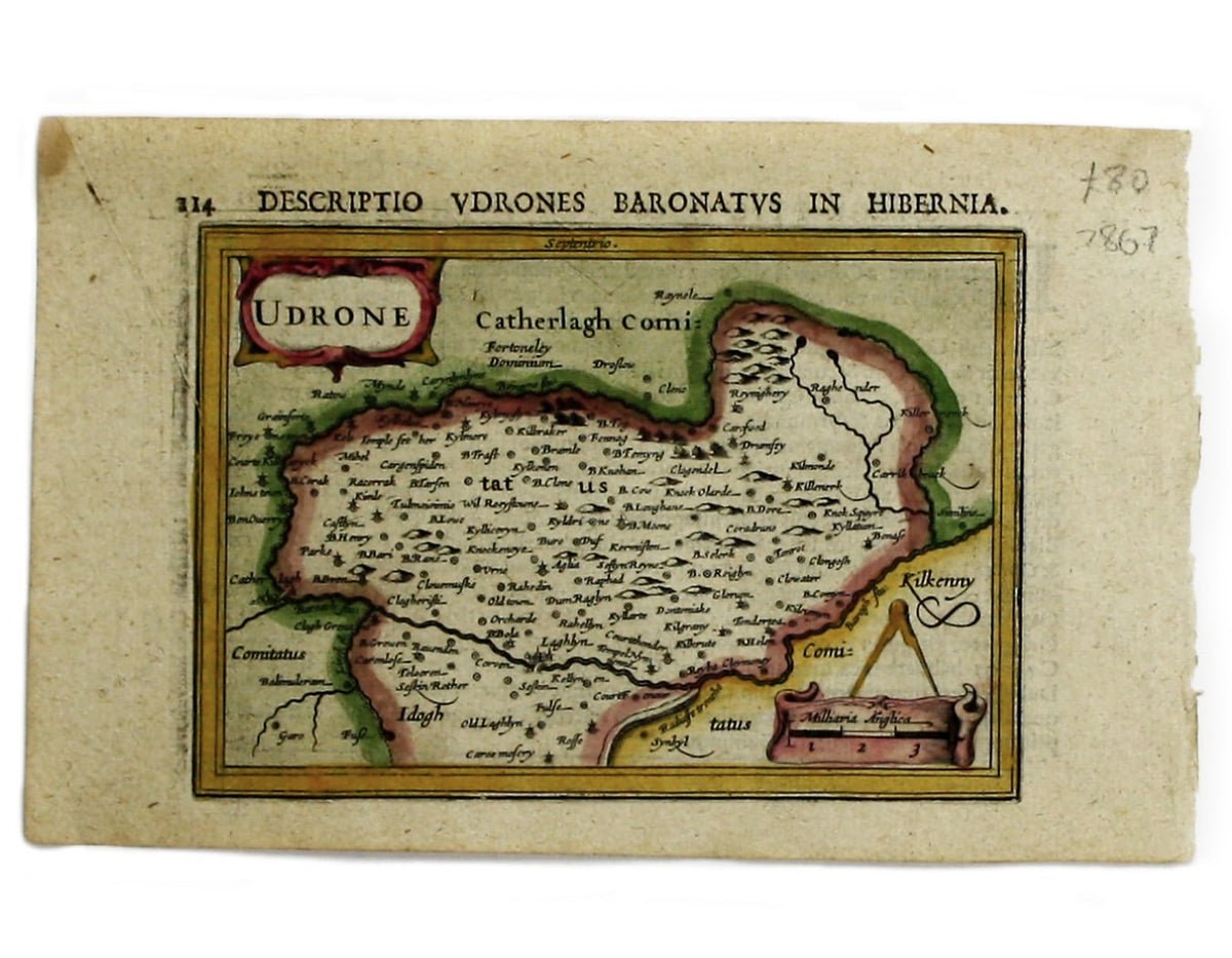
Bertius’ Map of Udrone (Carlow & Kilkenny)
Bertius’ Map of Udrone (Carlow & Kilkenny)
Couldn't load pickup availability
This map of Udrone from is the first edition of Tabularum geographicarum contractarum libri, a geographical work which is normally catalogued under the name of its author, Bertius.
The maps are generally reduced from the cartography in the folio Mercator-Hondius atlas, and were mostly engraved by Jodocus Hondius, eldest son of the printer, who also bears the same name. Geoffrey King calls them "undoubtedly the finest set of miniature maps ever printed.".
Udrone, covering parts of Carlow and Kilkenny, may seem a curiously remote choice for detailed treatment. However, Mercator became aware of the Butlers wars of the 1560s and 1570s - power struggles between two of the leading Anglo-Irish families (the Butlers and the Fitzgeralds) in Elizabethan Ireland - and the subsequent claims of the adventurer Sir Peter Carew. Mercator’s once-topical map was adopted as the standard ‘fifth’ map of Ireland in most sixteenth and seventeenth century atlases.
Condition & Materials
Copper engraving, 9.7 x 13.8 cm, recent hand-colour, Latin text on verso.
References
King, Miniature Antique Maps p. 96
Share