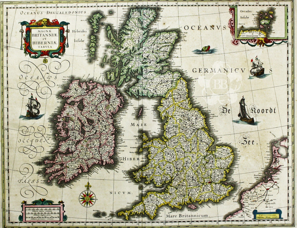
First published in 1631, this map of the British Isles became the Blaeu firm’s principal one for twenty years. The Blaeu firm was official cartographer to the Dutch East India Company (VOC), and Blaeu globes were carried on all VOC vessels; its map-making was of the highest quality at a time when the Low Countries were at the forefront of the international market.
Condition & Materials
Copper engraving, 39 x 50 cm, original hand-colour, light browning, Latin text on verso.
References
Koeman, Atlantes Neerlandici, Bl 36B
Shirley, Early Printed Maps of the British Isles, 423.