Bryars & Bryars
District Railway Map of Greater London – First Edition
District Railway Map of Greater London – First Edition
Couldn't load pickup availability
This District Railway map of Greater London shows the approximate extent from Epsom to Enfield and from Windsor to Grays, with inset of the Henley and Reading section.
The District Railway was one of the earliest underground lines: the stretch of track from South Kensington to Westminster was opened in 1868. The District company’s lines are shown in red, all other railways are shown in blue, with railways under construction are also indicated.
Condition & Materials
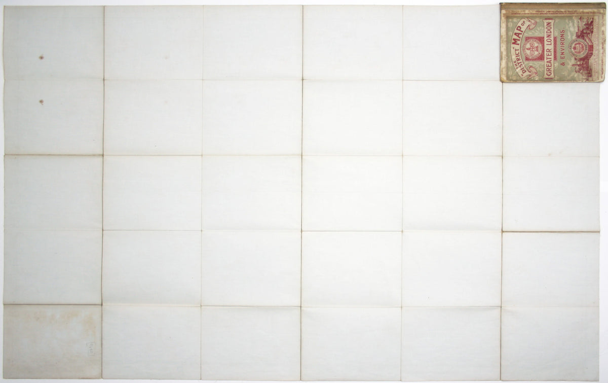
First edition, folding map, sheet size 68 x 106.5 cm, printed in colours, laid on linen as issued, light wear along folds, discolouration to one panel (upper left), folding into worn pictorial card covers, rebacked preserving part of the original cloth spine.
Share