Bryars & Bryars
Merian's Map of Lisbon
Merian's Map of Lisbon
Couldn't load pickup availability
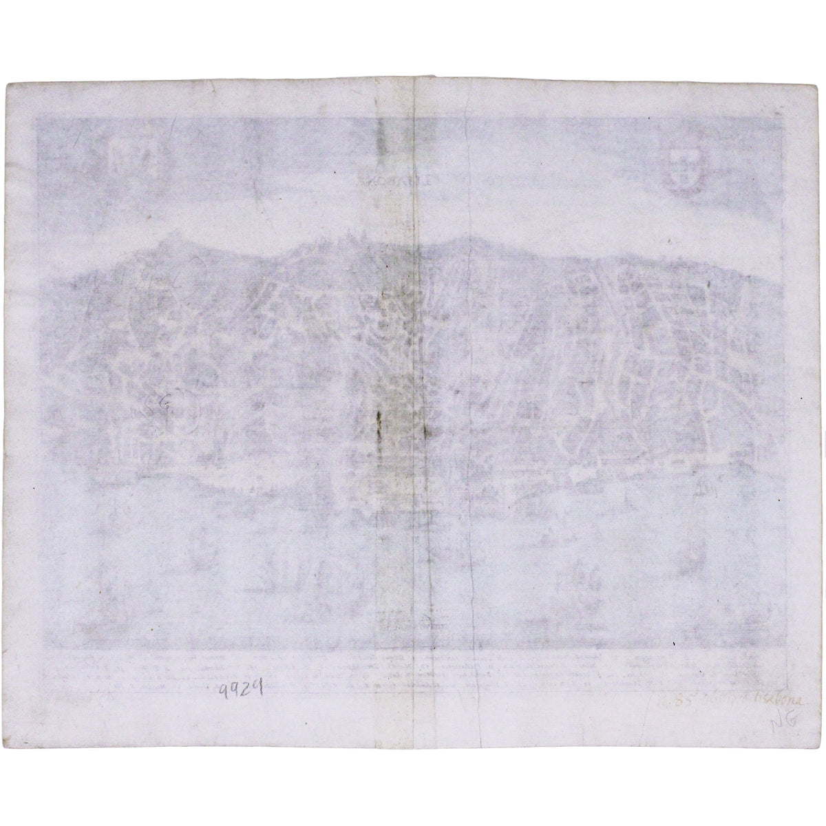
This map shows Lisbon on the banks of the River Tagus, still at the height of her prosperity as the hub of a Portuguese empire and trade network which stretched between south America and east Asia.
A legend at the foot identifies 34 key buildings and places of interest, many of which were destroyed in the 1755 earthquake.
The map was published by Merian and his heirs in various works, including the Archontologia Cosmica and Theatrum Europaeum. Merian was born in Basel, but he learned his trade working for Johann Theodor de Bry in Frankfurt, and married de Bry’s daughter.
Merian’s business flourished: talented engravers who worked with him include Wenceslaus Hollar. After his death in 1650 the firm passed through three generations of his family.
Condition & Materials
Copper engraving, printed area measures 28 x 36 cm. Modern hand colour, blank verso.
Share